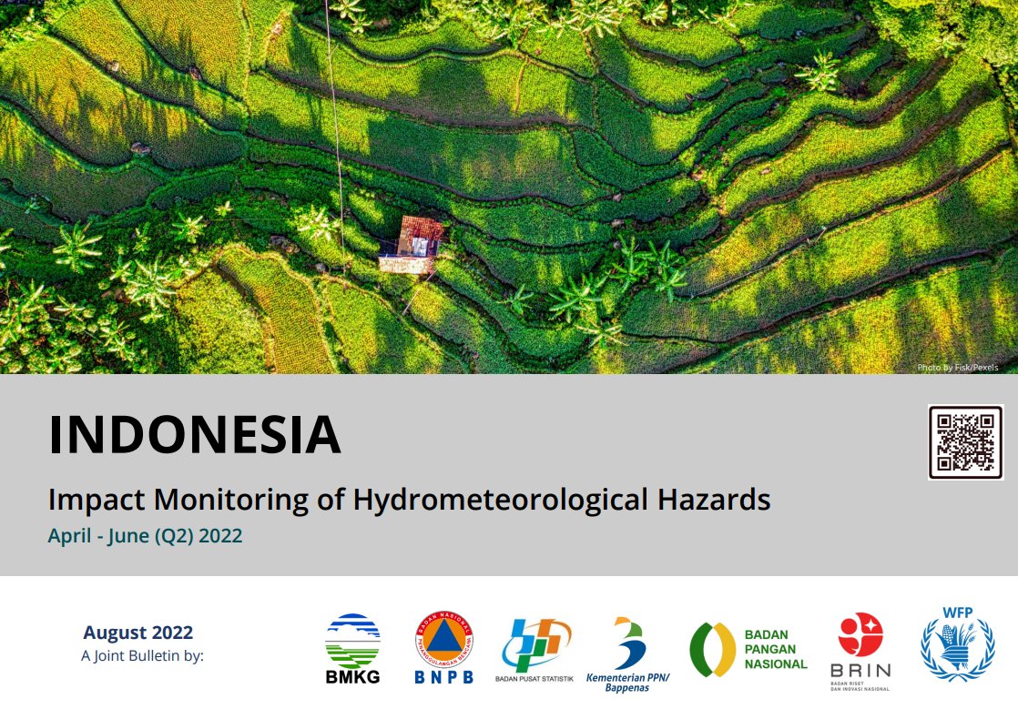
Check out our latest bulletin on the overview of the climate situation and impacts on agriculture and food security from April to June 2022 as well as the climate outlook from August to October 2022.
Download link: https://t.co/wm6IpkDuUe
We developed the first algorithm that uses daily nighttime light data from NASA Balck Marble Product @DrMiguelRoman for accurate continuous monitoring of global nighttime light change. Global products will be released by NASA soon. Please help RT.
https://t.co/thQw4whJ4U
Four R packages for Automated Exploratory Data Analysis you might have missed by Nicolo Cosimo Albanese in @TDataScience https://t.co/6mselkIT1D #rstats
Introductory course to Google Earth Engine
Year of publication: 2022, Place of publication: Rome, Author: Franceschini, G., Ali, M
Publisher: FAO
https://t.co/Je50M7uxwM
The new @UMD_GLAD#forest loss due to #fire data are now on @globalforests! Read the main insights from the #data: https://t.co/aZR4v1LHZ1 Technical blog discussing data caveats: https://t.co/0TwCyqXny1 Original peer-reviewed article: https://t.co/XQNANZtuNY
Dynamic World is live in #EarthEngine!
🛰️🌍🌲🦊🌿🏔️🏙️🌾🌊
Global, near real-time LULC data at 10 meter resolution.
Each #Sentinel2 L1C image with <= 35% cloud cover is accompanied by land cover classification and class probabilities.
Get started: https://t.co/q1mvFmCpXo
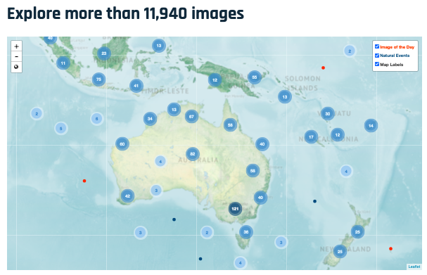
More than two decades later, we have a LOT more imagery for you to explore. The EO Explorer tool has nearly 12,000 images and counting. https://t.co/BDqXMC1ZSa 🌏
Good to know that there is #EarthEngine package for R user out there.
#rgee by @csaybar
Documentation: https://t.co/HRWKMM50ZL
Guides: https://t.co/fzDAqsup3R
Examples: https://t.co/J6jymFAKwk
Hi fellas! 👋
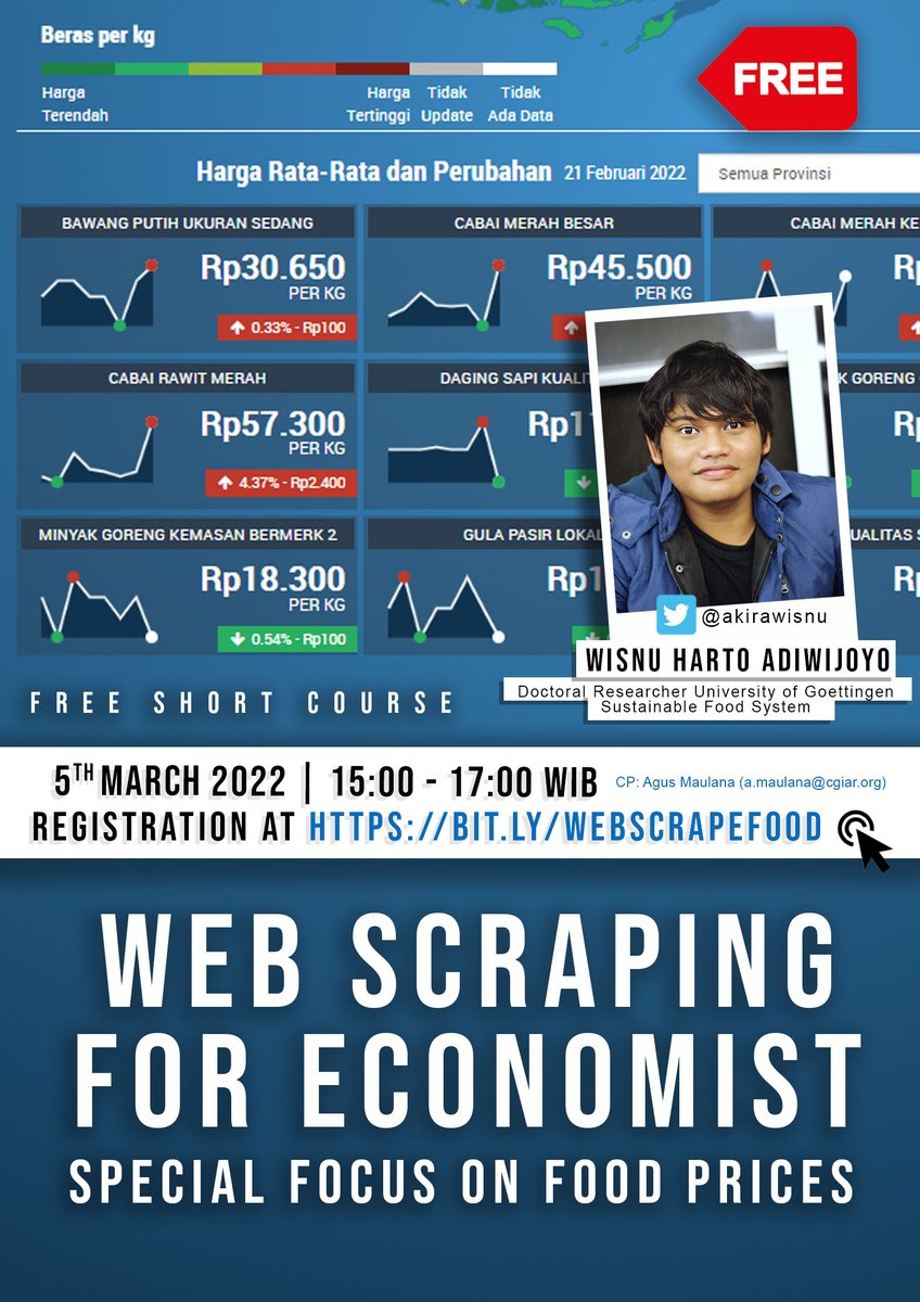
"Web scraping for economist. Special focus on food prices" presented by @akirawisnu (Doctoral Researcher/Sustainable Food System, University of Göttingen).
The course is scheduled on 5th March 2022, 15:00 - 17:00 WIB.
Register here https://t.co/89xN09O2HC
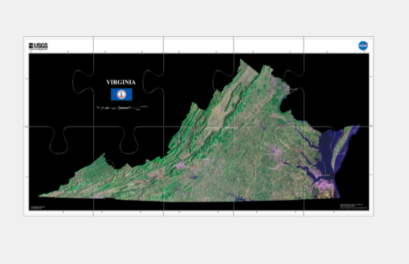
Pick your Landsat puzzle! Put together a state or assemble a variety of land and water features, from a forest to a coral reef. 🧩
👉https://t.co/k12akpamPR #Landsat#puzzle#classroomfun
A new 30-m global elevation dataset (DEM). Useful for #flood modeling an simulation. Thank you to @samapriyaroy for making it available in #EarthEngine
GEE: https://t.co/HVndbNRBeg
Paper: https://t.co/DMZczUPJIR
Download: https://t.co/6yvP6SBsXc
#eochat#geospatial#openaccess