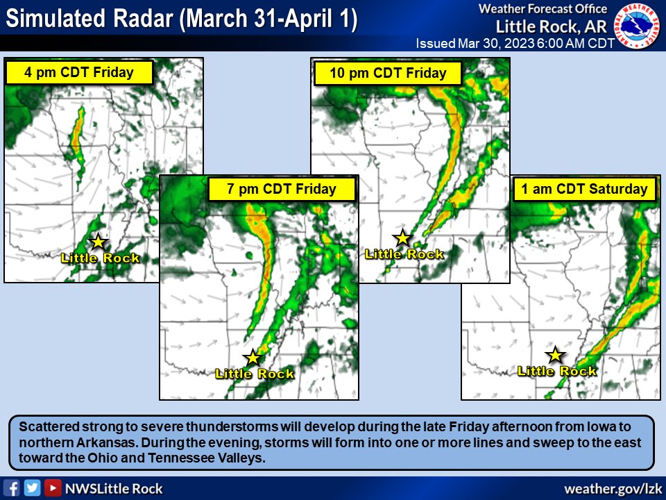
Rain and storms are beginning to wind down this morning with a fairly low severe weather threat remaining for today. The focus becomes severe weather tomorrow evening into tomorrow night. Things are expected to become quite active. #arwx
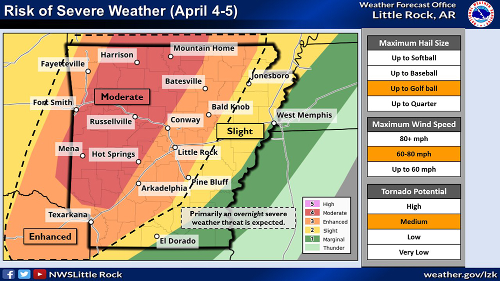
1/2 The region that includes Arkansas Tech University is under a moderate risk for severe weather beginning the evening of Tuesday, April 4, and continuing into the early hours of Wednesday, April 5. This is the 2nd-highest risk category issued by the National Weather Service.
Severe Weather Update: Tuesday evening thru Wednesday morning expect strong to severe storms to impact the Natural State. Specifics outlined below. All hazards will be possible; have a plan in place for Tuesday evening into Wednesday morning to get weather alerts! #ARwx
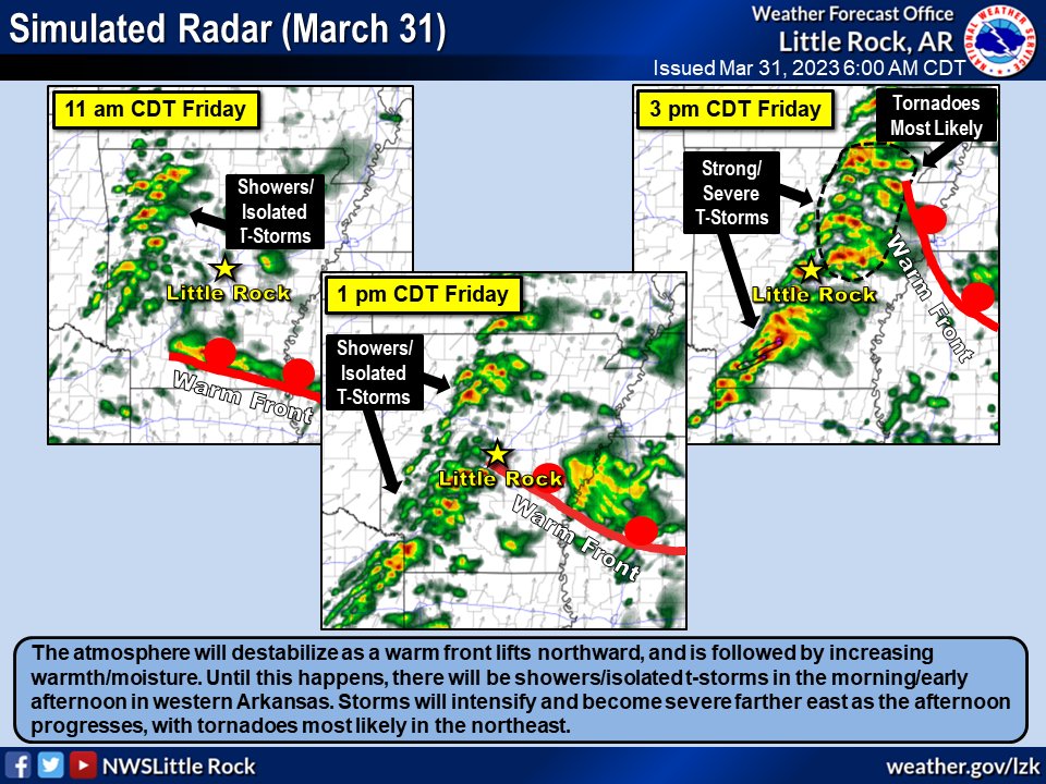
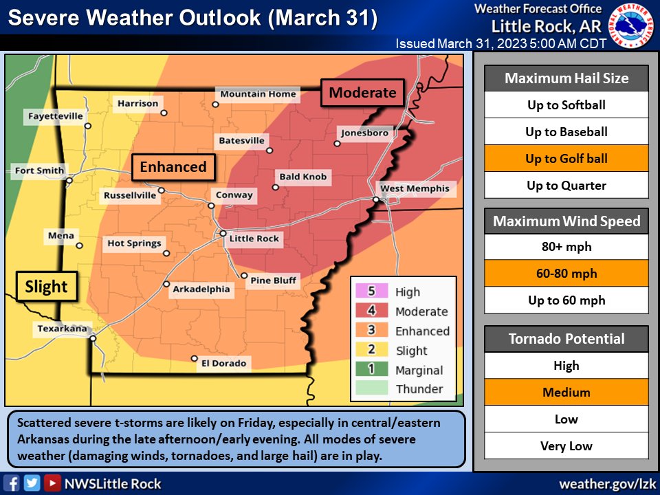
Severe t-storms are likely later today in central/eastern Arkansas (especially the northeast). All modes of severe weather (damaging winds, tornadoes, and hail) are in play, along with gusty south winds. Be ready to go to a safe place if a warning is issued for your area.
#arwx
Strong to severe thunderstorms will be likely Friday afternoon/evening. The most favored area is northeast Arkansas. All modes of severe weather (damaging winds, large hail, tornadoes) are in play. It will be windy, with peak gusts from 35 to 45 mph.
#arwx