To our new followers, welcome! We are a joint-managed account of wildfire/weather enthusiasts, media members and fire photographers here to provide timely wildfire updates, weather coverage, and on-the-ground reporting from fire photographers @Donovan_J19 and @MichaelWX18.
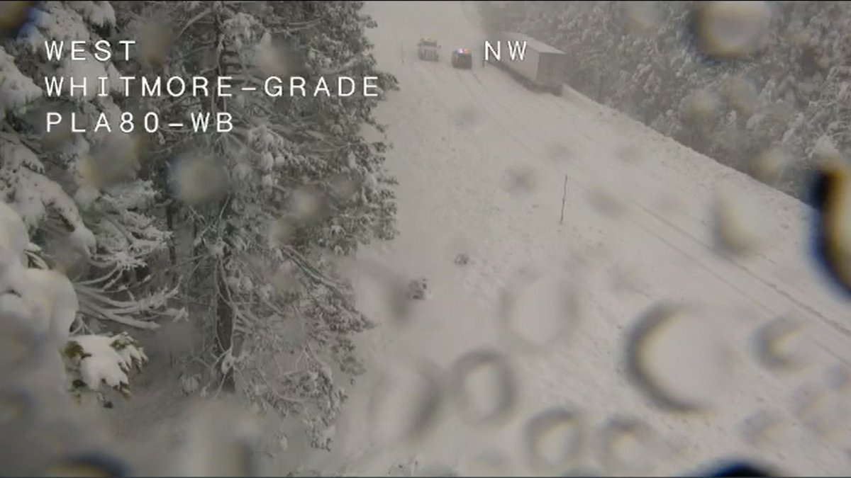
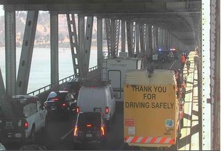
And so it continues tonight. April showers bring May flowers and apparently March snow brings tows. Currently holding WB I-80 traffic at Donner Lake Interchange due to a big rig crash down the hill at Whitmore Grade. @CHP_Truckee
An extremely dangerous situation is unfolding in southern California tonight.
Stay aware of your environment and leave immediately if asked to do so by your local emergency officials.
Forecast: Widespread DAMAGING WIND and EXTREME FIRE WEATHER for most of Los Angeles/Ventura Counties. Time period of greatest concern: Tonight - Wednesday afternoon. Widespread N/NE gusts 50-80 mph, Isolated 80-100 mph mountains/foothills with scattered downed trees and power outages likely.
https://t.co/w4zgtNeDvZ
Beautiful warm and cool colors sunset/twilight sky. Still a bit of chill in the air tonight to end the weekend. Got a warmup in daytime temperatures forecast this week. After, it looks like a low and cold front from Alaska (yep, with showers) arrive here Friday & Saturday. #CAwx
The smoke forecast models certainly panned out. Moderate pm 2.5 levels persist around the heart of bay with mainly unhealthy readings in the inland valleys. Limit your time outdoors today as high pressure will limit any vertical mixing in the atmosphere. #cawx#firewx
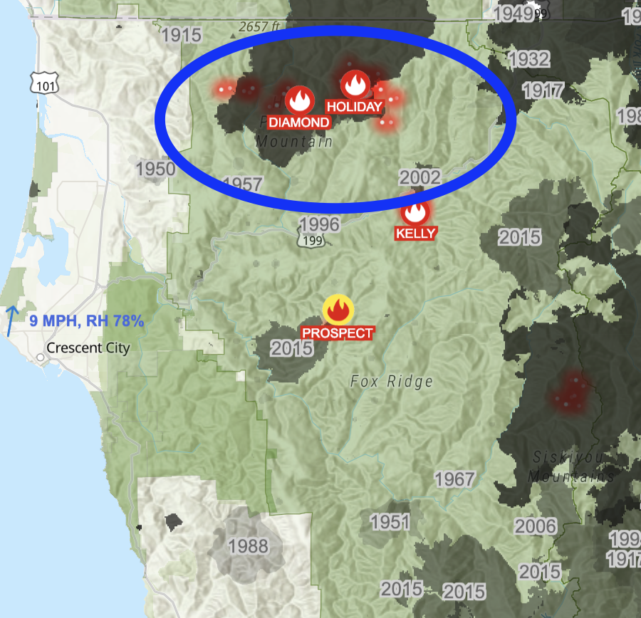
The #SRFSmithRiverComplex has gotten a lot intenser the past hour or so. It is burning in the Biscuit burn scar, but that dates back to 2002. One concerning aspect of this fire is theres is little fire history south of it, so there are plenty of fuels to burn. #cawx#firewx
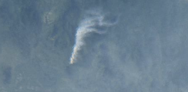
The #slidefire in Tehama county is at least 60 acres and is now producing a robust pyro cloud. It is surrounded by recent burn scars on all sides. #cawx#firewx
The #pilotfire in Humboldt county is starting to wakeup. Its an incident composed of multiple fires that were started by lightning yesterday. #cawx#firewx
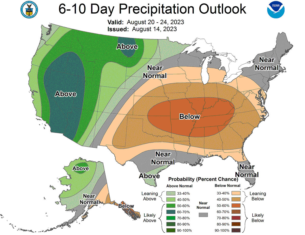
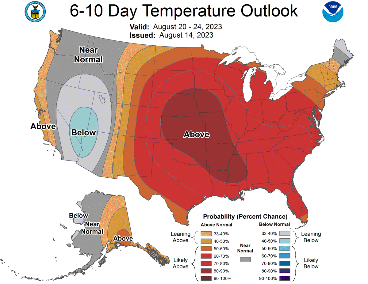
Wow WOW wow who is ready for a fundamental change in our weather pattern next week??!? The @NWSCPC is calling for a much above normal chance of precipitation, and slight chances for below normal temperatures. How are we feeling about this, SoCal?
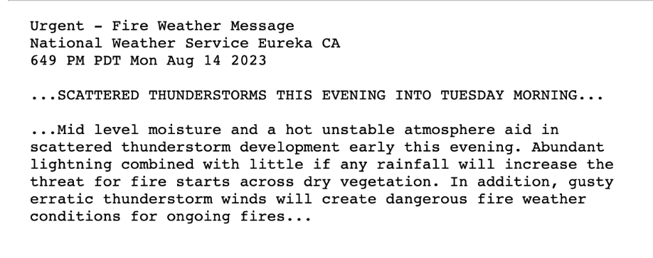
NWS Eureka just issued a Red Flag Warning for Mendocino and Trinity mountains. The threat of t-storms and erratic gusty outflow winds on top of a dry and hot landscape could cause dangerous fire weather conditions. #cawx#firewx
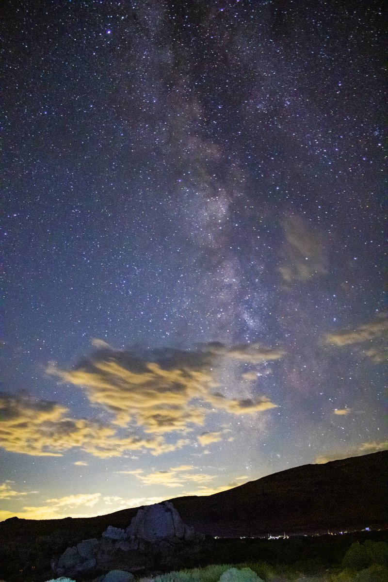
These are a few of my favorites from last night! This was my first real attempt at astrophotography and I think I did pretty good! I even got a meteor in the third photo! #nvwx#nevada#milkyway#photography#reno
The high so far today at Phoenix Sky Harbor is 119°F. This beats the previous daily record high by 5°F and is only the 7th time Sky Harbor has reached 119°F or above. #azwx
The #diamondfire outside of Scottsdale, Arizona has blown up in size and is as of last update, 700 + acres. The fire is threatening homes and a red flag warning is in effect for areas north thru. Wednesday. 35-40mph wind gusts + single digit humidity is expected. #azwx#firewx