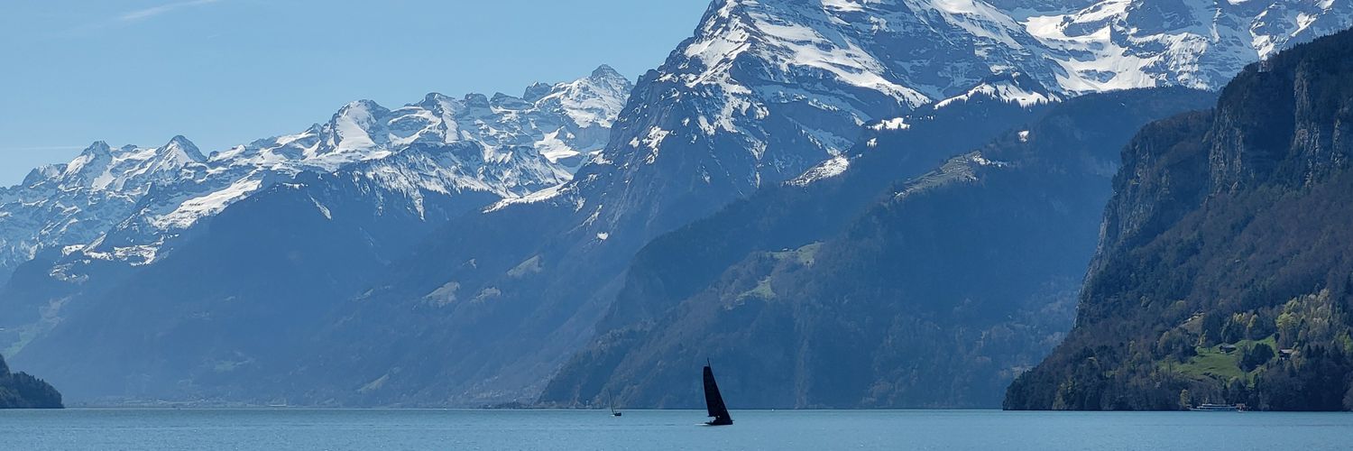
How can photos improve maps?
How can visual one shots become spatial data?
Others came before, like @panoramio dissolving into Google Maps, machine tagging OSM IDs on @Flickr.
But Fotoshi is built for the future. Join us on this journey! @fotoshihq
https://t.co/yn09uxbdZ4
@podesta_aldo@giffmana Mix of both. Technology.
Funding research is excellent but researchers will want to work for American companies when they can, if they are top of their field. You would need to create attractive companies. And massively cut tax rates. Otherwise the dream job is abroad.
@MaxLenormand Yeah the focus on the vision part is really worlds different. I guess in the last if it was easy, it was only easy if you used basic click through templates
My AI agents found an unmapped Maya site in Mexico, using LiDAR data from a NASA dataset.
72 hours from a random thought on vacation to a reply from Mexico's national archaeology institute.
What a time to be alive…
How can photos improve maps?
How can visual one shots become spatial data?
Others came before, like @panoramio dissolving into Google Maps, machine tagging OSM IDs on @Flickr.
But Fotoshi is built for the future. Join us on this journey! @fotoshihq
https://t.co/yn09uxbdZ4
@ffaebi@dean7v And then all the rental cars are using license plates from this Canton... All you have to do is make them all self-driving and then we have arrived at full loop