Did you know that the public sector can access @OrdnanceSurvey Places API through the Public Sector Geospatial Agreement (PSGA)?
@GDSTeam used Places API to build an application that gives GOV. UK users more accurate local information.
Find out more: 👇
https://t.co/EwnMqb7t1f
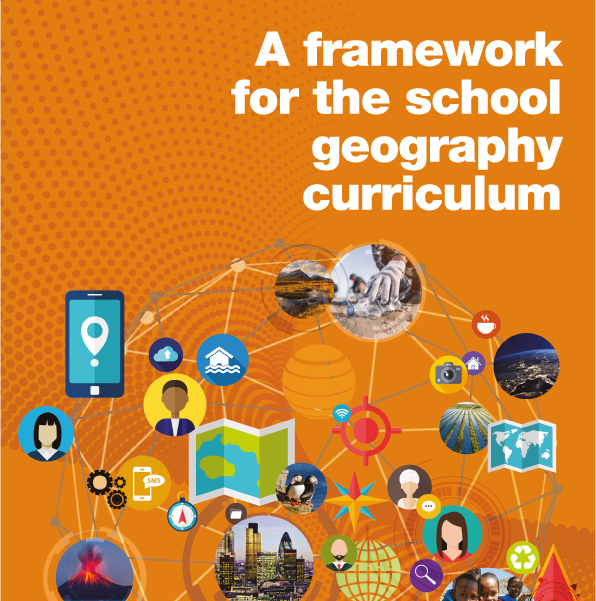
Over the past two years, the GA has worked to create a Framework for the school #geography#curriculum.
The Framework will become publicly-available during spring 2023.
If you work in long-term geography curriculum design, request an early copy here https://t.co/KX2XA9dB2E
Defra is seeking a new Deputy Chief Scientific Advisor; an important role bringing science into UK environment and food policy. If you are an environmental scientist with experience of policy work and leadership please take a look: https://t.co/NBtepvKZ98
Our countryside is at greater risk of fires due to prolonged periods of dry weather 🔥
If you see a smoulder, a flame or a fire unattended - act fast.
Get to a safe place and dial 999.
Retweet to protect people and places.
#CountrysideCode
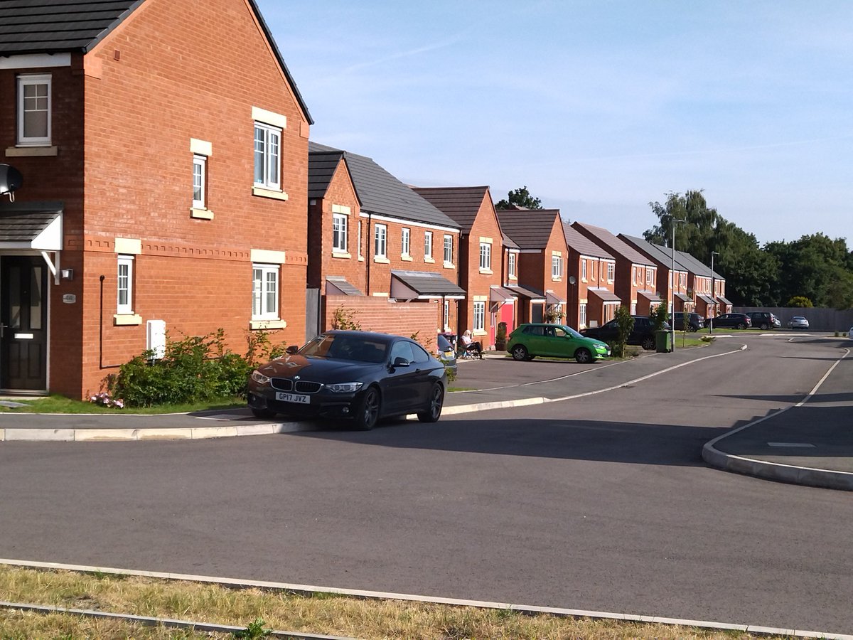
Why are we still building thousands of homes with no solar, no heat pumps, basic insulation, no water capture, no grey water recycling? Answer: maximizing profits of developers at expense of our environment & climate.
Remember when Belgium didn’t have a government for ages and it started to do better as a country cos the civil servants were just able to get on with it? Worth a go, no?
The Public Sector Geospatial Agreement (PSGA) gives more than 5,000 public sector organisations unlimited access to @OrdnanceSurvey data in order to underpin the efficient and effective delivery of public services and policy making.
That's why we'll be joining this event: