Multi-Temporal LiDAR and Hyperspectral Data Fusion for Classification of Semi-Arid Woody Cover Species https://t.co/cXAoq2aX3A #mdpiremotesensing via @RemoteSens_MDPI
A Novel Spectral Index to Identify Cacti in the Sonoran Desert at Multiple Scales Using Multi-Sensor Hyperspectral Data Acquisitions https://t.co/p8NviRWnmk #mdpiland via @Land_MDPI@MDPIOpenAccess
#LatestPaper
A Novel Spectral Index to Identify Cacti in the Sonoran Desert at Multiple Scales Using Multi-Sensor #Hyperspectral Data Acquisitions
by Kyle Hartfield and Jeffrey K. Gillan et al.
✏️More info: https://t.co/wBsosCTqPB
Cool new study from researchers @ARSC_UA to identify and quantify cacti on the Santa Rita Experimental Range using remote sensing approaches, including drones! https://t.co/WKncPleW9B
A big congrats to my first PhD student, @UASNRE PhD Candidate and @NASAEarth#FINESST Fellow Xian Wang (@ahunwx), for publishing the second chapter of their in-progress dissertation in @ELSenviron #RSE. I am so proud and very lucky!!
https://t.co/NSZDWlpCi0
📢New paper out!!! Is it possible to use the #Apple#LiDAR in #iPad or #iPhone12 Pro to acquire point clouds of #forest sites and measure the DBH accurately? Is our multi-camera #prototype reliable to generate data in mobile mode? Check it out here: https://t.co/FzDs6LbJ9x
📖New #OpenAccess article "Monitoring of #urbanforests using 3D spatial indices based on #LiDAR point clouds and voxel approach” with focus on the links between the volume of vegetation and 3D buildings🌳🏘🌲
co-funded by @FnrLux@frsFNRS "SusDens" project
https://t.co/yLVy4jjY7X
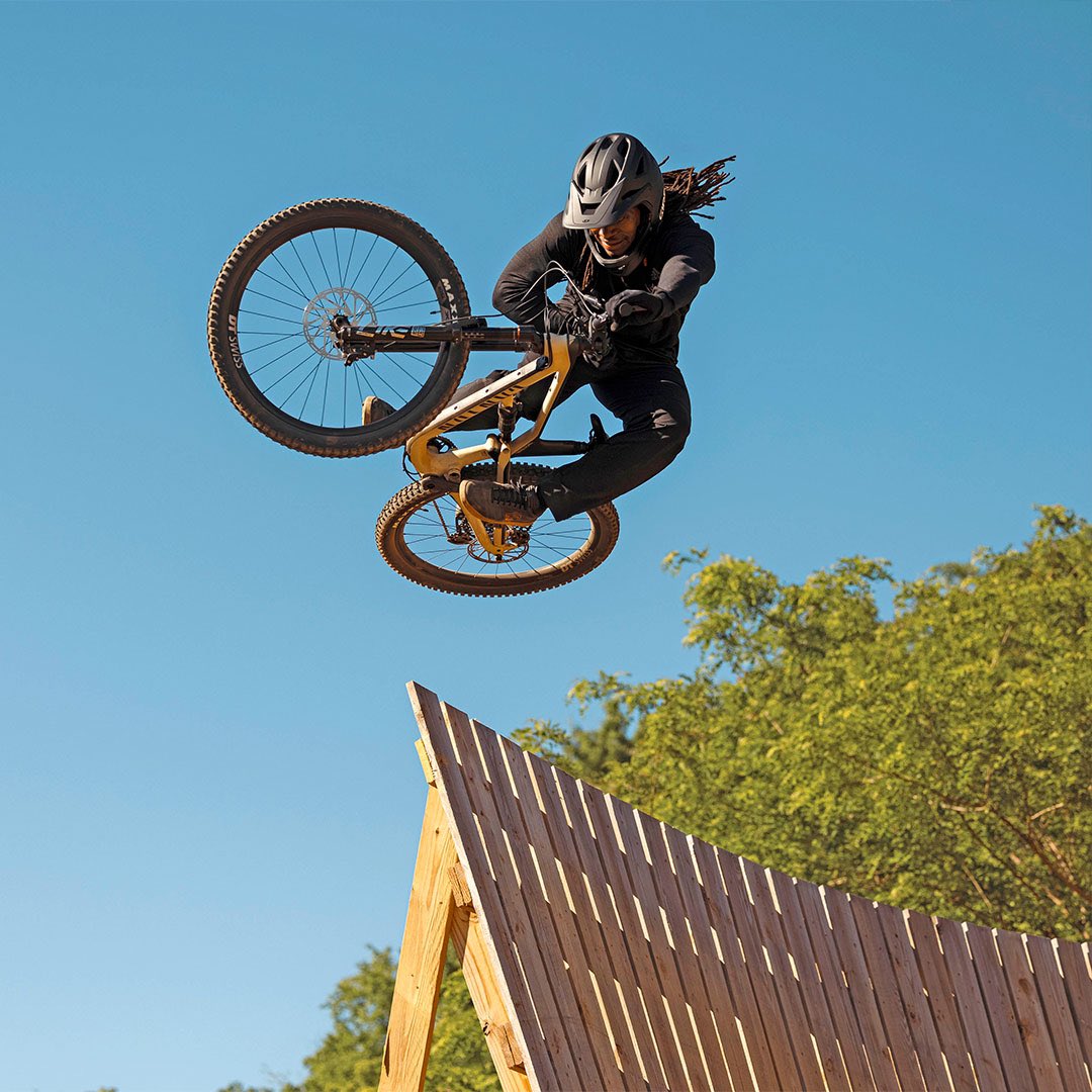
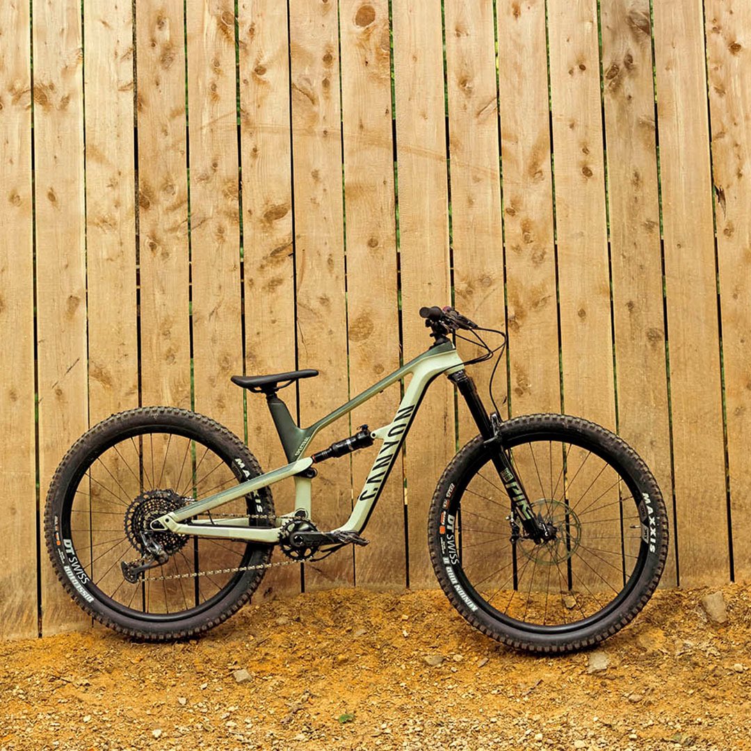
Welcome Brad Simms to the Canyon family! The 2020 BMX Nora Cup Winner and 2020 Vital BMX Rider of the Year has joined Canyon CLLCTV and chosen the Spectral 27.5 as his MTB bike of choice—and we can't wait to see what Brad has in store for the MTB world!
Happy to share our new @NatureClimate paper, "Increasing impact of warm droughts on northern ecosystem productivity over recent decades," led by David Gampe w/ Wolfgang Buermann, @Reichstein_BGC, and others. https://t.co/VGovza67FB
Field cameras set for snow monitoring in northern Arizona.
Snowpack depth data is used to generate a data driven decision support tool for snowpack, precipitation and streamflow. Check out the current conditions on SnowView: https://t.co/HsjOXp8nAw
More: https://t.co/Wr71gZjktu
Fields of flowers and butterflies surround the PRI flux tower as we fly the DJI Mavic to capture RGB and thermal images during monsoon season. Thermal images will be compared to flux tower measurements to find relationships between plant processes and temperature.
Welcoming the DJI Matrice 600 to our lab. Equipped with Velodyne Puck LITE LiDAR and Headwall nano hyperspectral sensors for your research project needs.
Today, the drone supports multiple field campaigns to explore vegetation water stress in an arid environment.
Happy to share a new lab @RemoteSens_MDPI paper, "Climate and Socioeconomic Factors Drive Irrigated Agriculture Dynamics in the Lower Colorado River Basin," led by @cingularities w/ @MPDannenberg @SethMMunson @WillemJDvanLee1 others https://t.co/BHmeqt0aTY
Regrowth on the Santa Cruz River Heritage Project is coming along nicely after the sediment removal for flood control last summer! #Tucson
(photos: July 1st vs today)