I’ve made an interactive map showing the origins of Dublin street names: https://t.co/RvSI6Wc35V. Can be viewed on mobile but works best on desktop! @DublinInquirer@fallon_donal@TCD_Geography
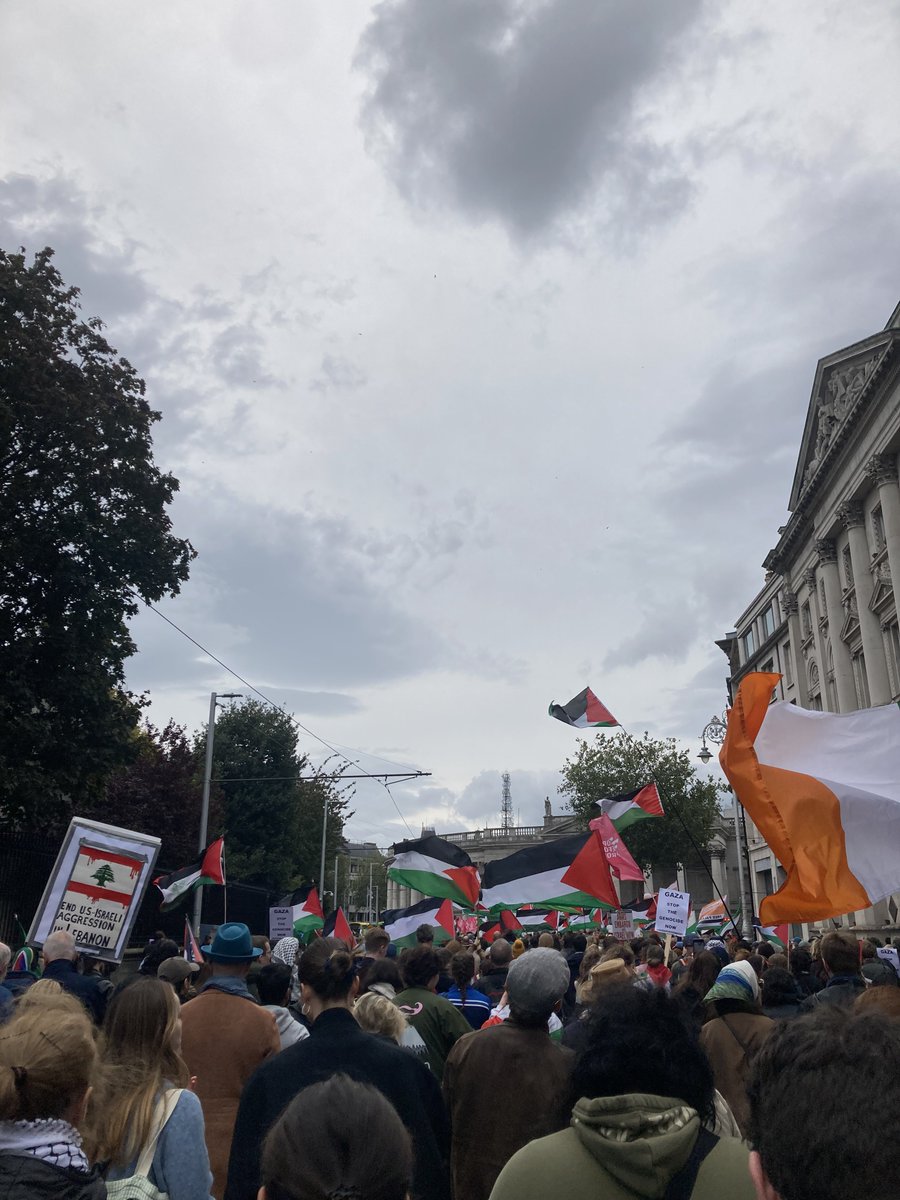
Another one for future history books.
Believe it or not, there were actually people in Ireland who advocated for us to ignore a televised genocide for economic reasons.
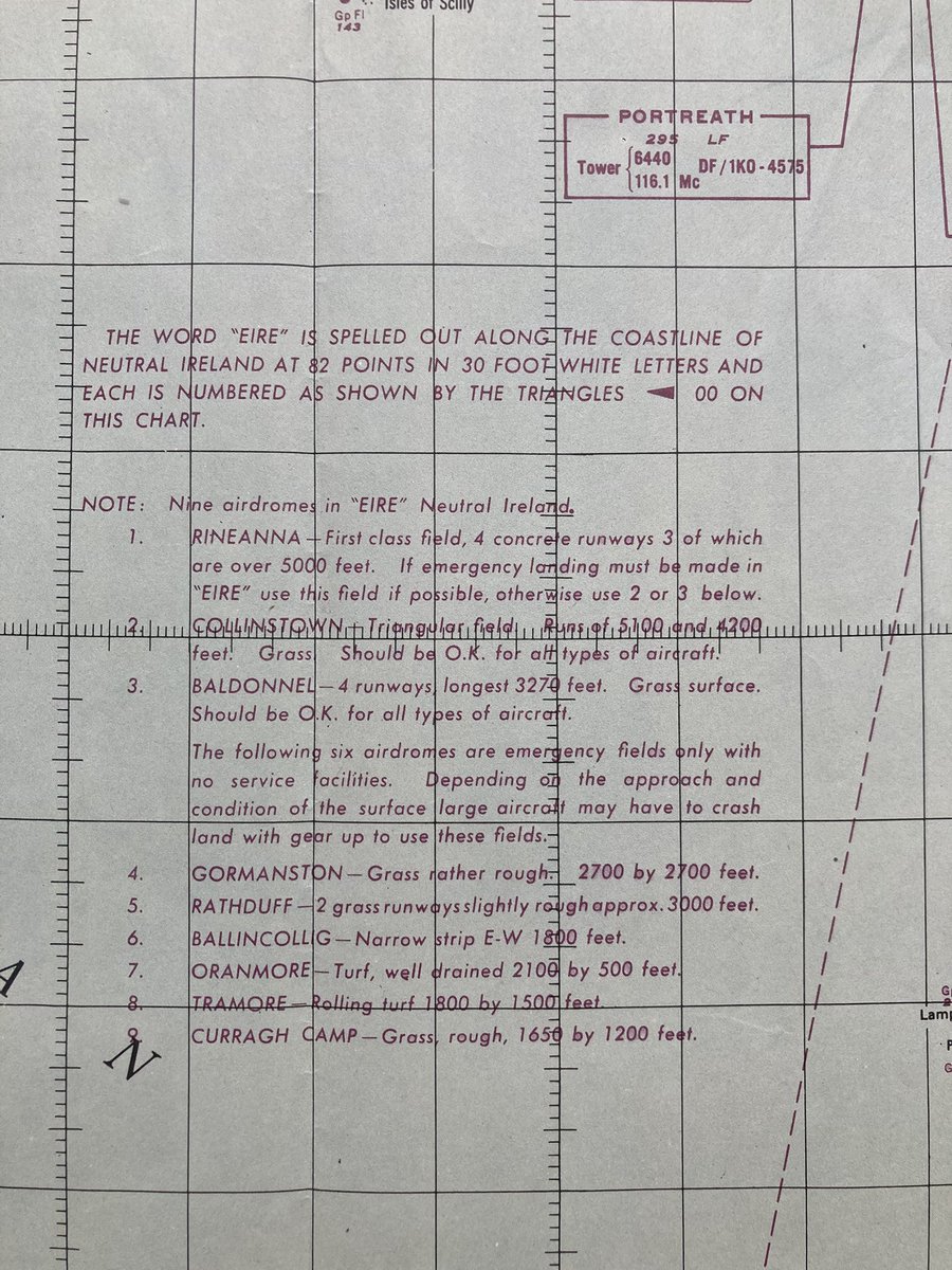
Handdrawn map of WWII-era EIRE signs around the Irish coast. Based on USAAF aeronautical charts showing their locations, including this one 229 Lands End, and great previous work by @treasa and another map from @GerBrowne4. https://t.co/YBrURDVY6I @neilojim1972@fallon_donal
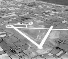
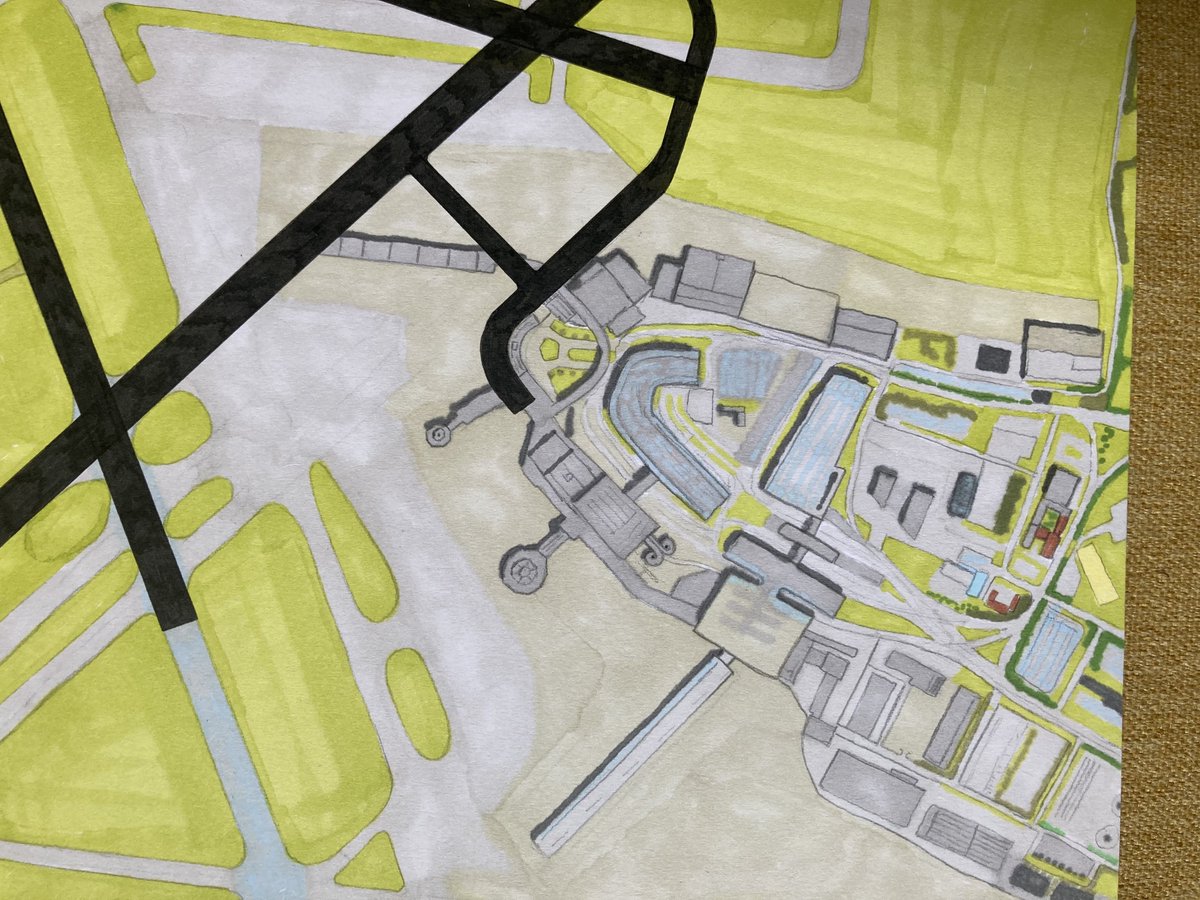
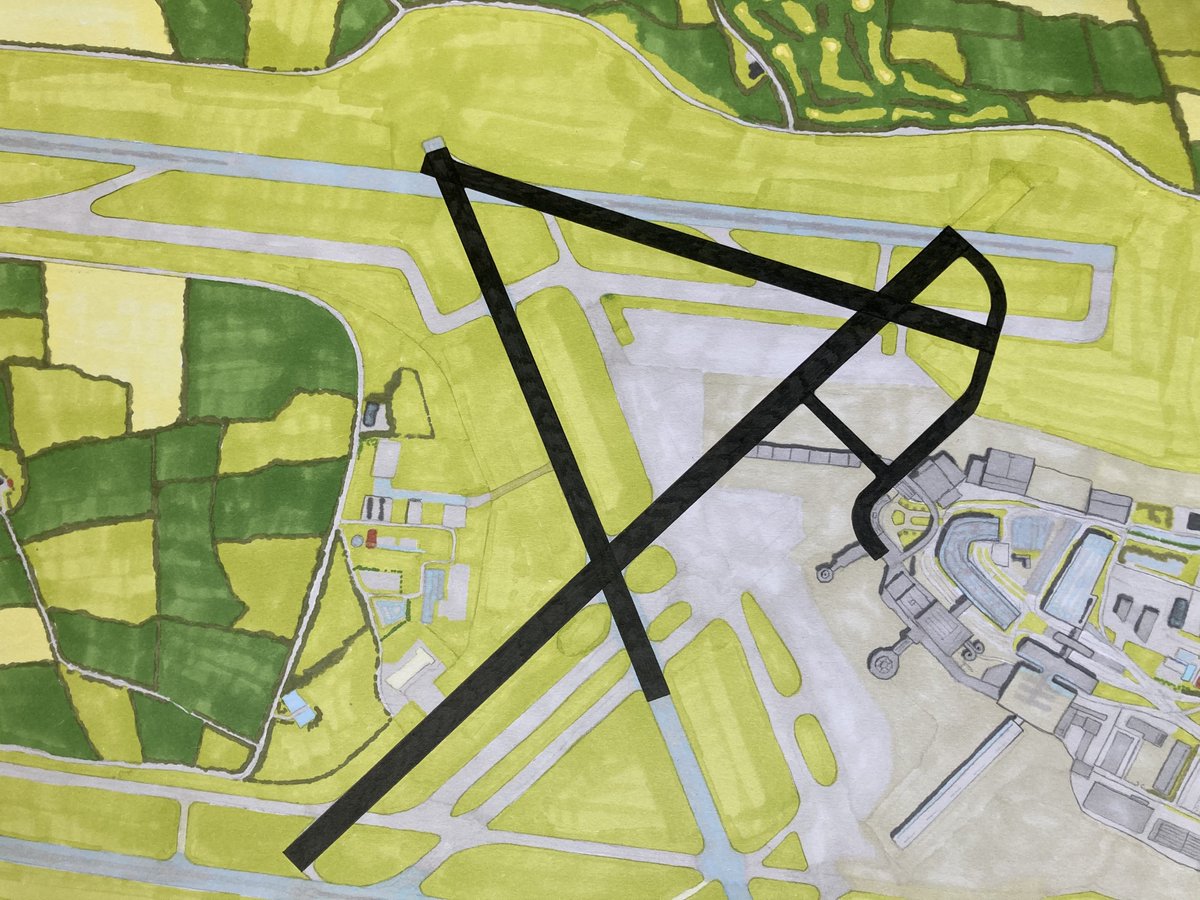
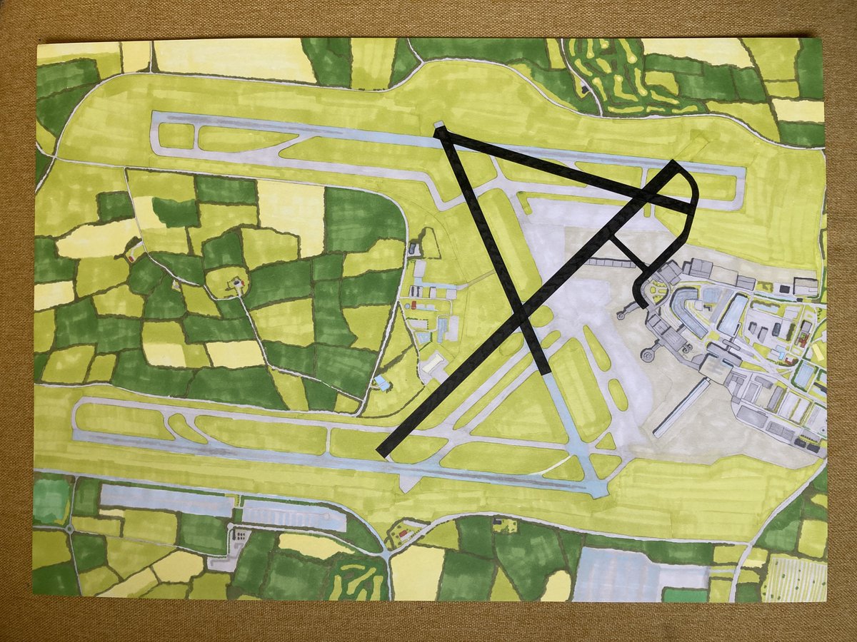
Drew this overhead view of @DublinAirport a couple of years ago, and finally got around to completing the original vision for it: attacking it with a black pen to show how it used to be.
Dublin Airport: Then and Now
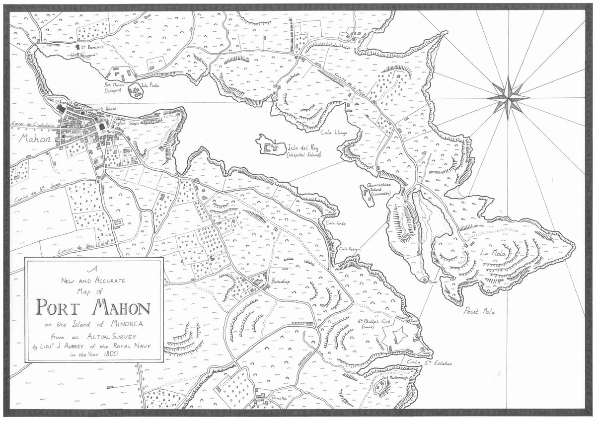
Nearing the end of my first Aubrey-Maturin circumnavigation, so decided to commemorate that with a map of Port Mahon as it might have been in 1800, or, where it all began. Little blog post on it here: https://t.co/sQGppV3PDL #aubreymaturin#patrickobrian#masterandcommander
One year ago today on the left, and just over a week ago on the right. Hard to believe things have only gotten worse in that time, and harder still to believe just how bad they’ve gotten.
Two more buildings featured in @frankmcdonald60’s The Destruction of Dublin now gone (Carrisbrook House and the Jury’s Hotel). Won’t particularly miss either, and will be good to see this junction with their replacements built.
https://t.co/PUQTTsMTEz
https://t.co/JOdY49kNBn
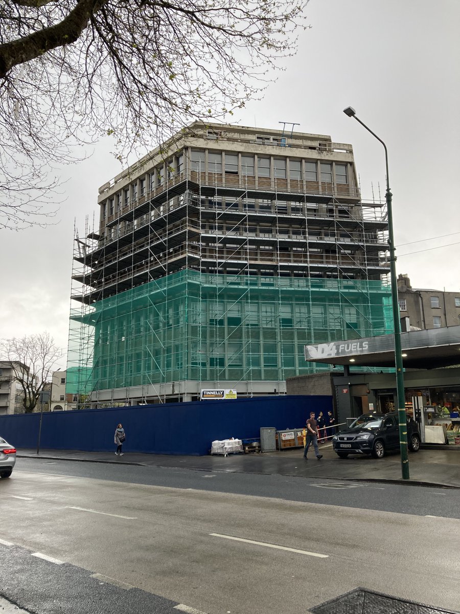
Carrisbrook House on Northumberland Road, built 1967, on its way to being demolished. Don't think I'll miss it, but will be interesting to see how its replacement (seen here in the planning application) looks in reality.
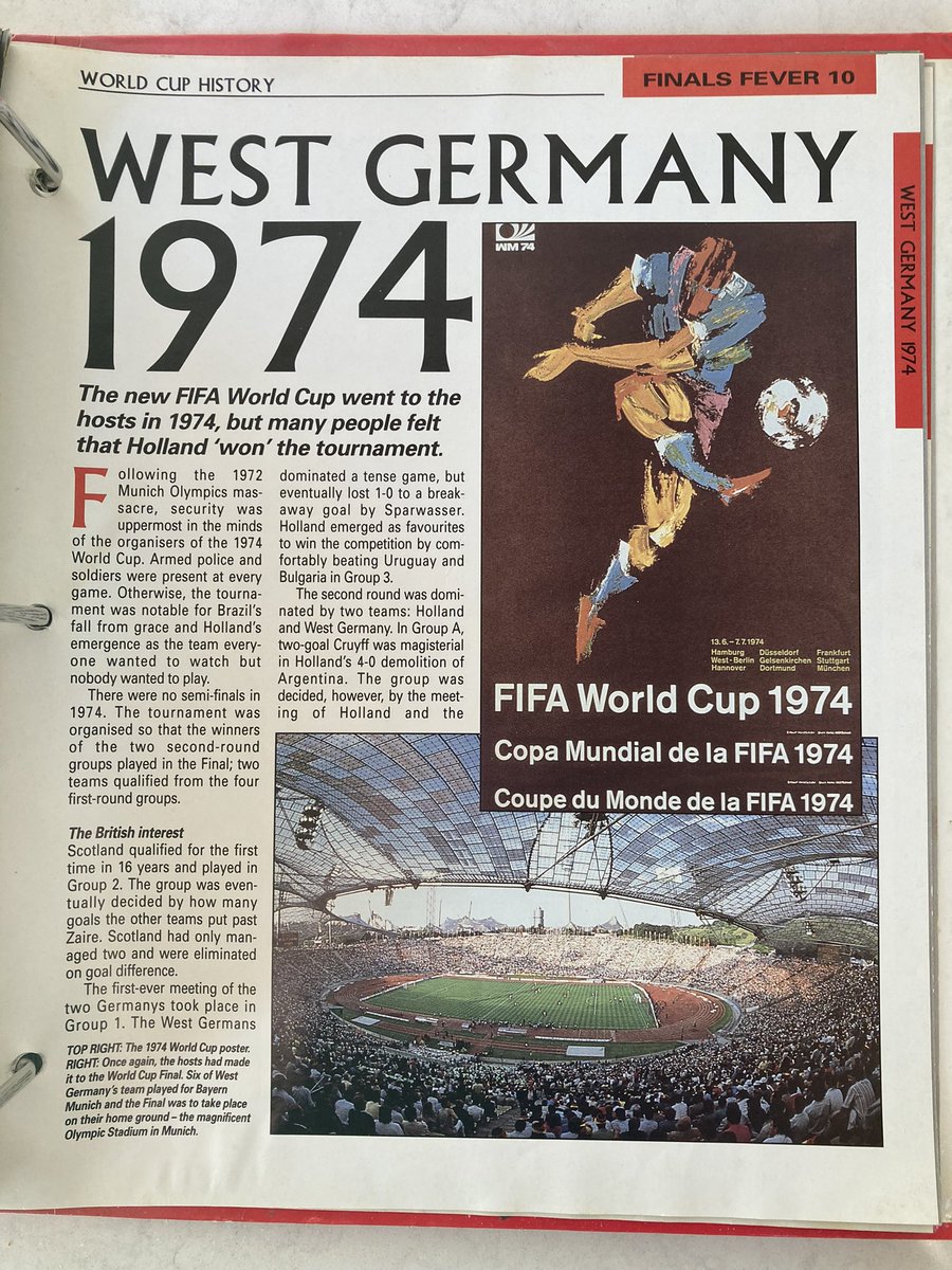
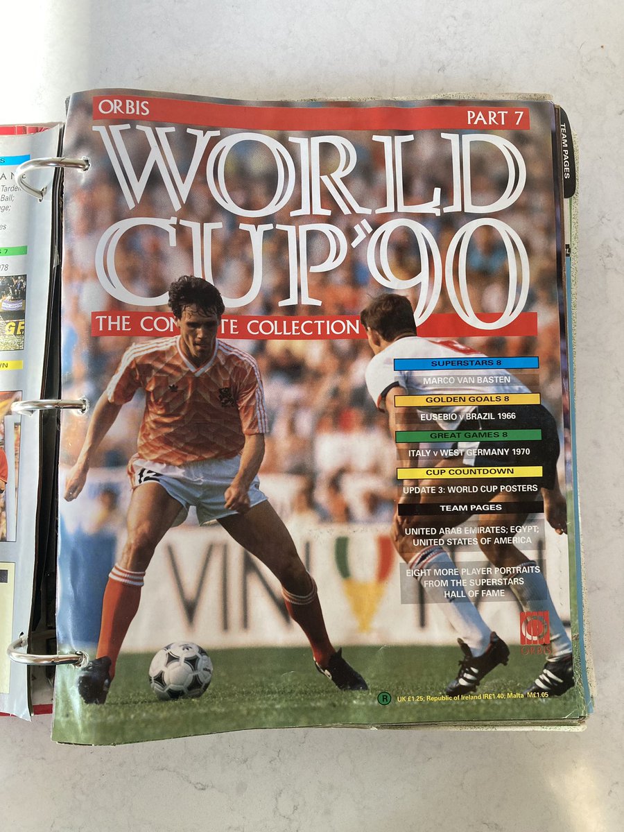
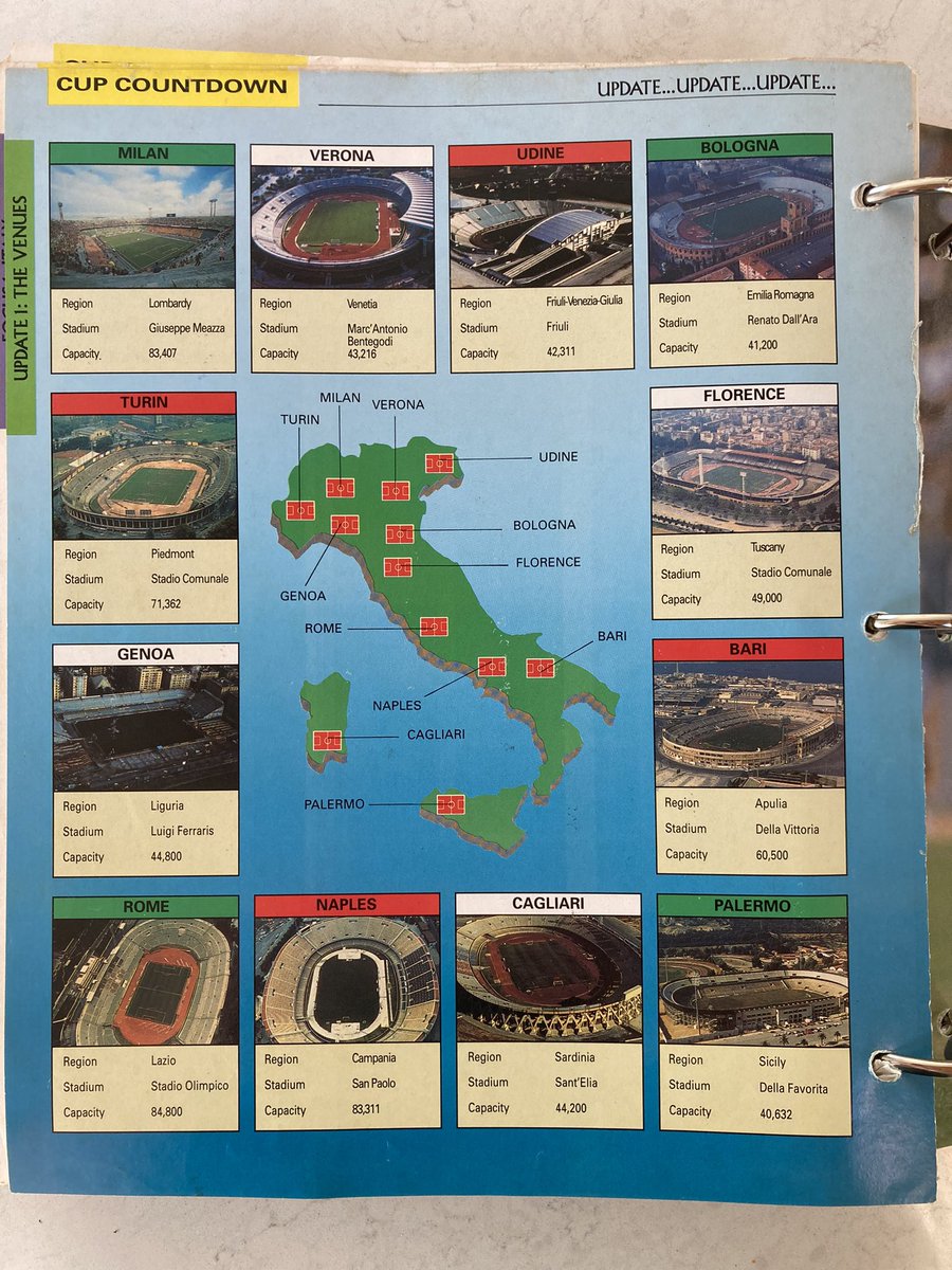
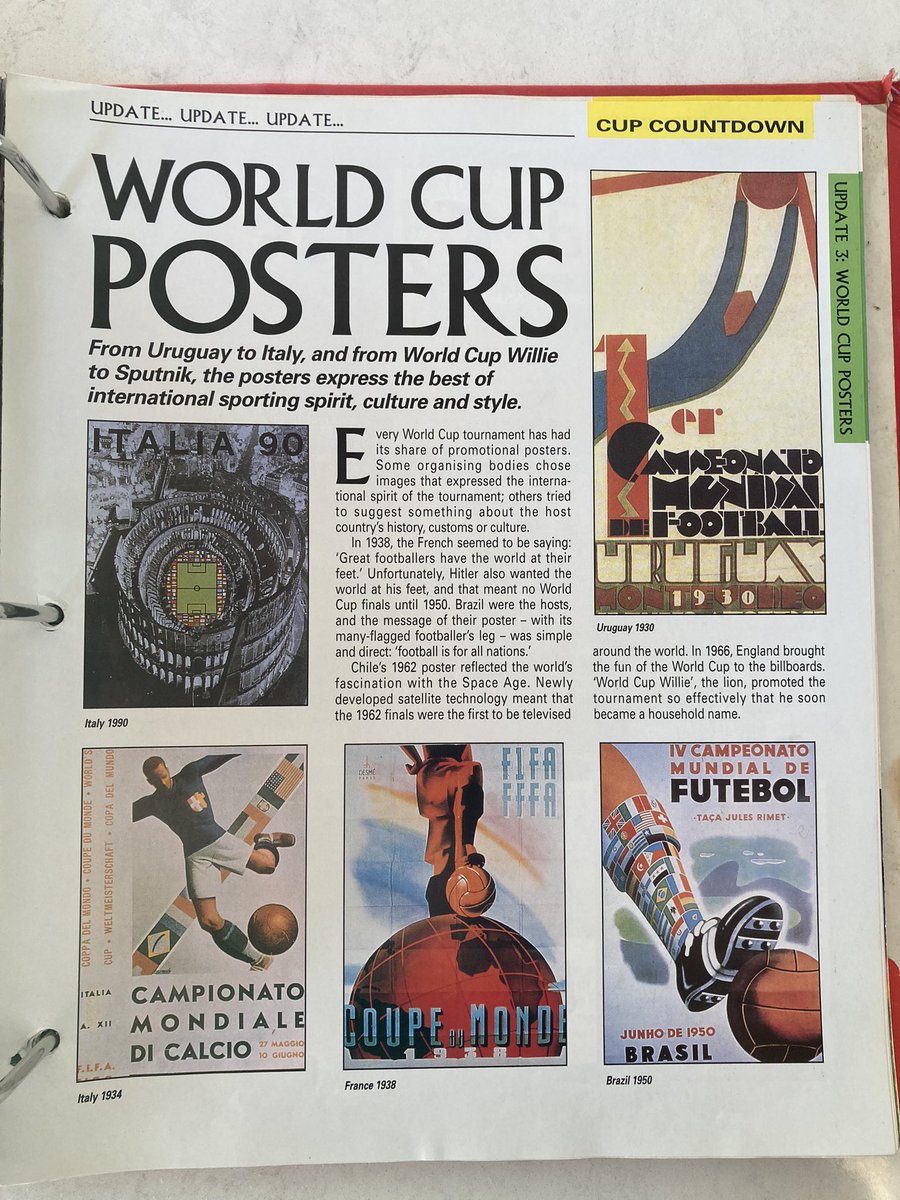
Found this again in my parents house last night. Spent hours reading it when I was younger and must have read it cover to cover multiple times. Some great stuff in it…