Here is my final project for my GIS class! It's a tornado vulnerability index I created, and includes a mean tornado intensity (with frequency factored in), mobile home %, Population density (people/km^2) and income statistics. Dixie Alley, not surprisingly is the most vulnerable
One needs to be careful when citing SRH numbers from a 12z hodograph. Due to inertial oscillations, the low-level winds are supergeostrophic overnight, but become subgeostrophic in the afternoon due to boundary layer mixing, reducing low-level hodograph length.
Across northern Oklahoma and southern Kansas, we see a more robust dryline circulation and erosion of the cap but it quickly builds back in by late evening. Even here the uncapped warm sector is quite small. Not feeling too crazy about this event yet. #okwx
Central OK is likely to remain strongly capped through Thursday. Current synoptic forcing appears too weak to erode the inversion, so storms would probably require a stronger or earlier-arriving jet streak than is currently forecast. #okwx@aguacerowx
Nice hailstorm just came through southeast Wichita. Confirmed around nickels (I didn’t have a nickel) and single stone that was right around an inch by my guesstimate but no confirmation for sure because I threw it back 😭. @NWSWichita pictures taken at the northern edge of AFB off Rock.
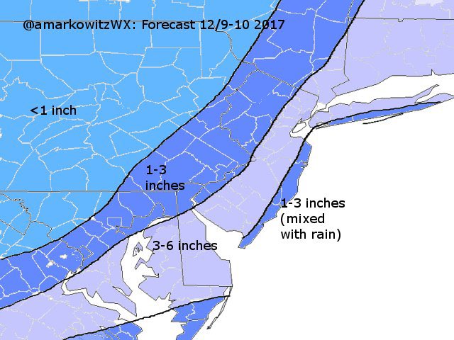
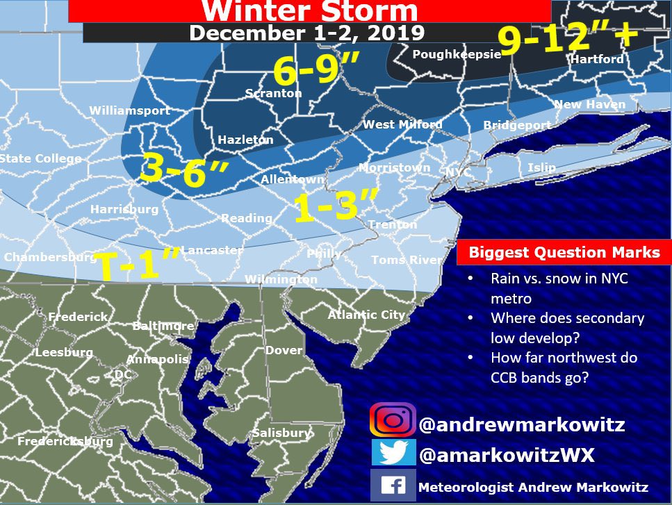
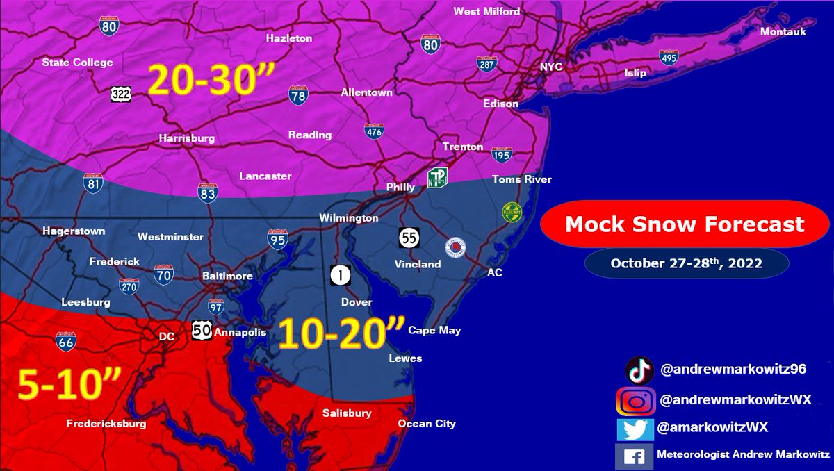
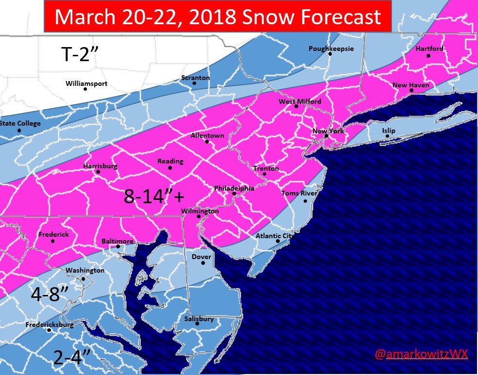
You could say I’ve come a long way when it comes to graphic design.
With today’s first snow, I decided it was finally time to create some fresh new snow map templates for this upcoming winter (including for DEN). Big thanks to @CTforecasting and @CristCacewx for the assistance.
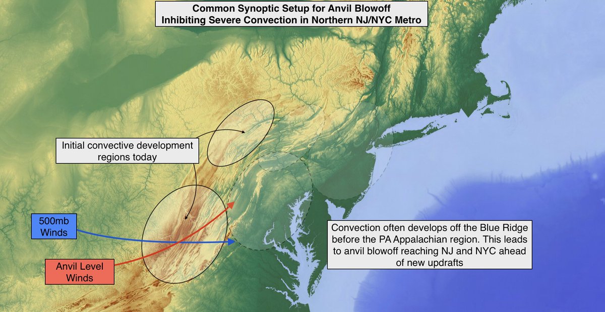
Parts of NJ and the NYC Area can sometimes see a relative minimum in severe convective coverage during synoptic setups similar to today. Anvil level winds steer clouds from earlier developing convection off the Blue Ridge into the region ahead of local severe storms.
The first image from the Webb Space Telescope represents a historic moment for science and technology. For astronomy and space exploration.
And for America and all humanity.
Large-hail-producing thunderstorm over southeast Colorado impressive in GOES-East 1-min VIS with inflow feeder bands, above anvil cirrus plume, and even a hail swath, all evident. #cowx