We've built the world's first map-free AI Vision + RTK precision spraying drone for industrial agriculture.
Introducing GEODASH Aerosystems - a joint venture between DroneDash and @GEODNET.
No pre-mapping. No repeat surveys. Deploy, spray and collect continuous crop intelligence - automatically.
Every mission becomes an agronomic data layer. Per-tree analysis. Zone-level health scoring. Spray validation. All from the same flight.
🌐 https://t.co/biFjQMsr8O
Combining our field-proven drone operations and AI spraying platforms with @GEODNET's decentralized RTK network for centimetre-level accuracy.
Together as GEODASH Aerosystems - powering the next generation of precision agriculture.
Two leaders. One system.
DroneDash × GEODNET
Most ag drones require manual mapping before every flight. Now, GEODASH uses AI vision + cm level RTK to spray fields in real time 🚁
This is the evolution of agricultural drones.
From spraying → to intelligence.
We’ve integrated AI vision + RTK into a single operational workflow:
Spray, capture data, and analyse — all in one pass.
For drone operators, this unlocks a transition:
From labour-based services → to data-driven agriculture solutions.
For farmers:
Real-time insights. Early detection. Better yields.
This is how we scale smart agriculture across the World!
We've built the world's first map-free AI Vision + RTK precision spraying drone for industrial agriculture.
Introducing GEODASH Aerosystems - a joint venture between DroneDash and @GEODNET.
No pre-mapping. No repeat surveys. Deploy, spray and collect continuous crop intelligence - automatically.
Every mission becomes an agronomic data layer. Per-tree analysis. Zone-level health scoring. Spray validation. All from the same flight.
🌐 https://t.co/biFjQMsr8O
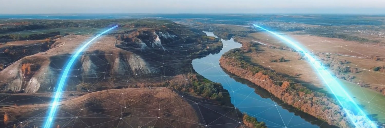
Autonomous systems are becoming the operating layer of agriculture.
Farms that feed billions are still running without real-time data, precision, or autonomy.
That changes now, so we can meet rising demand and produce more, with less.
What happens when you combine drones, AI, and blockchain to solve one of the world’s oldest challenges feeding a growing population without destroying the planet?
In Malaysia, Farmsent is leading a groundbreaking transformation of over 490,000 acres of palm plantations through a real-world, scalable blueprint for sustainable agriculture. This initiative is powered by a strategic collaboration with DroneDash and SkyX.
@yogtalks Co-founder, @Farmsent_io
“We’re not just optimizing yields – we’re building a more resilient and equitable food system.”
Farmsent’s Vision: Smarter, Transparent, and Sustainable Farming at Scale
Farmsent’s innovative approach leverages autonomous drones, AI, and blockchain to revolutionize farming practices. By integrating these technologies, Farmsent empowers farmers with precision, transparency, and efficiency.
The Role of DroneDash: Precision and Efficiency in the Field
@drone_dash provides the autonomous drone technology that is central to Farmsent’s strategy. Their drones apply fertilizers and pesticides with surgical precision reducing chemical use by up to 50%, cutting operational costs, and minimizing environmental impact. This precision farming not only boosts productivity but also safeguards surrounding ecosystems.
@SkyX_Network complements the system by deploying hyper-precise weather stations across the plantations. These stations monitor microclimates, capturing humidity, wind, rainfall, and other critical data, which feeds into Farmsent’s AI-driven decision-making platform.
Blockchain-Enabled Transparency and Investment
Through the @peaq blockchain, every drone, sensor, and weather station is assigned a unique digital identity. This allows:
Transparent tracking of agricultural inputs and outputs
Real-time performance monitoring of devices
Tokenization of assets, inviting global investors to support sustainable farming infrastructure
Why This Matters
With more than 40% of global agriculture relying on unsustainable groundwater and climate risks escalating, Farmsent’s model offers a sustainable path forward. The UN forecasts a 70% increase in food demand by 2050, making innovation essential.
By combining Farmsent’s vision with DroneDash’s precision drones and SkyX’s microclimate data, this initiative:
Boosts yields sustainably
Cuts costs and chemical usage
Reduces environmental harm
Creates new investment opportunities via Web3
Builds a resilient, equitable food system
A Blueprint for the Future
🌾 September = Harvest.
⚡ Harvest needs precision.
Whether it’s fields, factories, or data—
only accuracy brings real yield.
This season: cut the noise, dial in the precision, and reap the results.