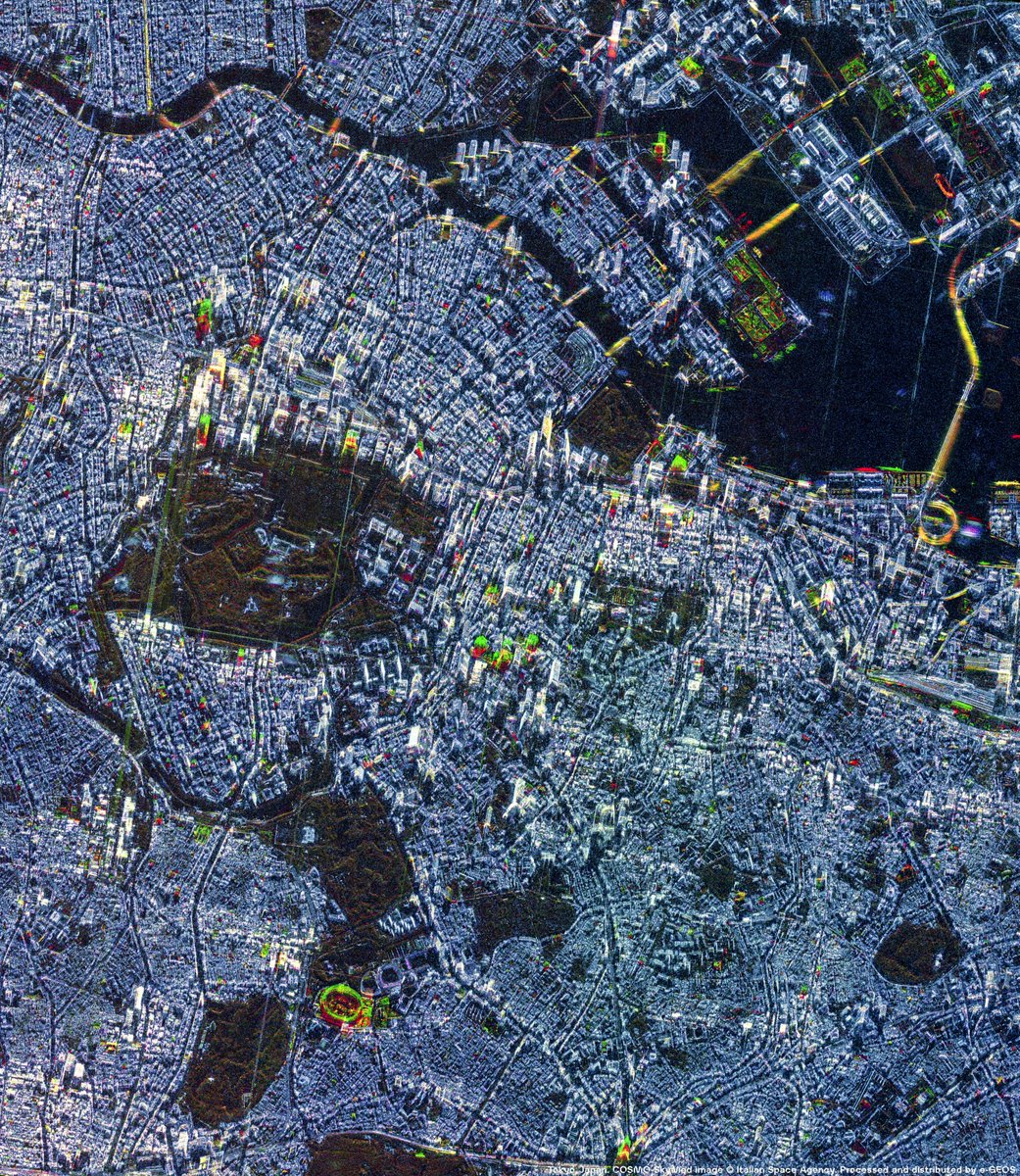
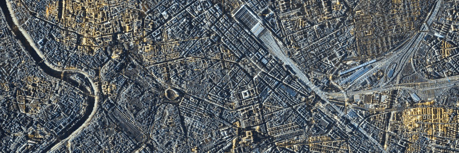
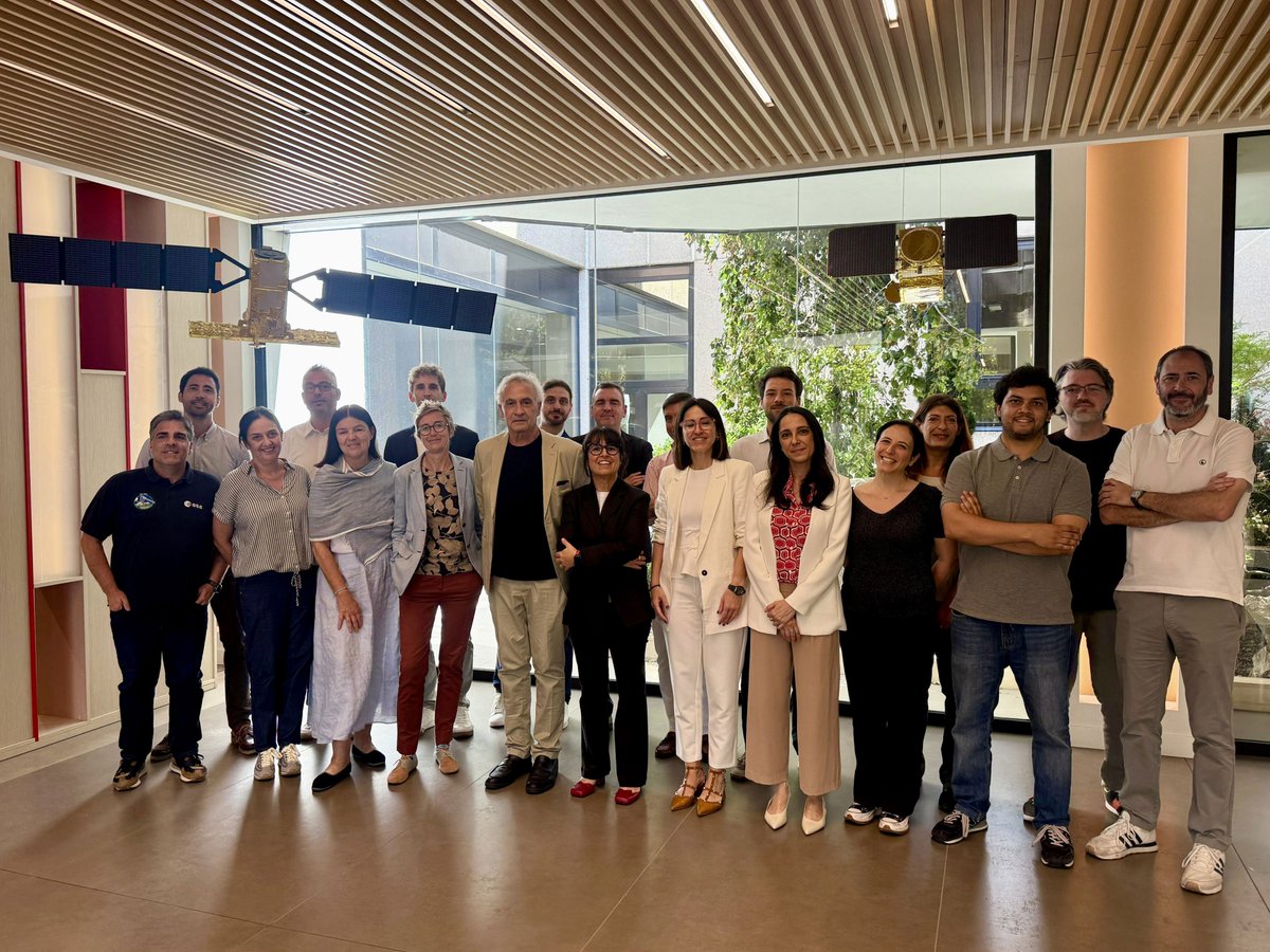
🎤 Elena Francioni, VP Head of Italian & European Market at e-GEOS, part of @LDO_Space, joined the event “Space Technologies and Territorial Management”, organised by GeneGIS GI at @Montecitorio. During the session “The use of satellite data for territorial management”, Elena Francioni highlighted how the New Space Economy is driving the evolution of Space technologies into operational services and decision-support tools.
🛰️ The integration of satellite and multi-source data with emerging technologies such as on-board processing and Agentic AI is significantly expanding the capabilities of Geoinformation. This evolution is opening opportunities well beyond traditional markets, from local public administrations and cooperatives to sectors such as insurance, where geospatial intelligence can support new operational models.
🌐 As Elena Francioni concluded, new markets emerge when technological potential meets evolving needs and untapped opportunities. Turning satellite data into actionable insights is key to making #Geoinformation increasingly accessible and valuable for institutions, businesses and citizens.
#WeUnlockEarth
@telespazio | @ASI_spazio | @LDO_Space | @GAF_Munich | @LDO_Fondazione
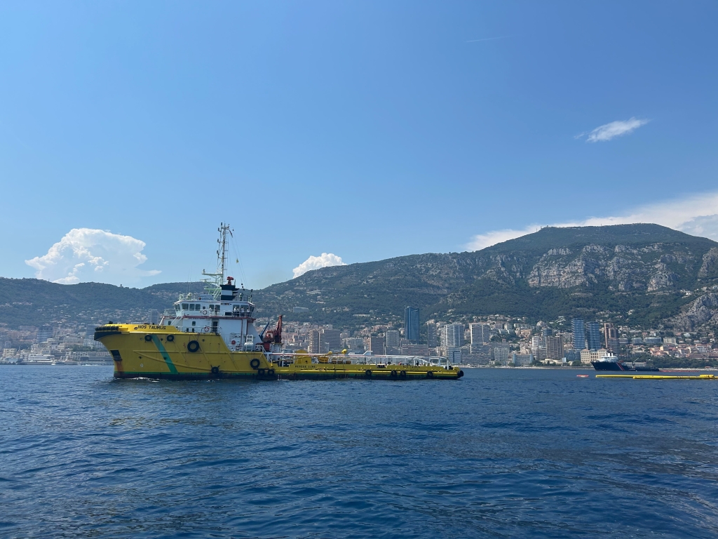
e-GEOS, part of @LDO_Space, participated in the international maritime anti-pollution training operation “RAMOGEPol 2026”, held off the coast of Savona and the Principality of Monaco. The exercise took place during the 50th anniversary of the RAMOGE Agreement.
As part of the exercise, e-GEOS was responsible for notifying the possible presence of hydrocarbons at sea through the provision of reports based on #satellite imagery from the COSMO-SkyMed constellation, a programme of @ASI_spazio and the Italian @MinisteroDifesa, for which e-GEOS is the exclusive commercial distributor of satellite data.
The training operation was organised by the @MASE_IT within the framework of the RAMOGE Agreement, in cooperation with France and the Principality of Monaco.
🔗 Read more on the e-GEOS website: https://t.co/EaF3qTuJLA
#WeUnlockEarth
@telespazio | @ASI_spazio | @LDO_Space | @GAF_Munich | @LDO_Fondazione
🇻🇪A seguito dei violenti terremoti che hanno colpito il Venezuela, IILA ha svolto un ruolo di raccordo istituzionale e tecnico, favorendo la condivisione di informazioni basate su immagini satellitari, essenziali per la gestione dell'emergenza
👉https://t.co/ip5G2Tqdgi
📍The @CopernicusEMS 𝐑𝐚𝐩𝐢𝐝 𝐌𝐚𝐩𝐩𝐢𝐧𝐠, led by e-GEOS, part of @LDO_Space, is actively supporting emergency response efforts following the two severe earthquakes that struck north-central #Venezuela 🇻🇪on 24 June, by delivering rapid damage assessment products over the affected areas.
🌎 Thanks to the institutional and technical coordination role of @iila_org, with which e-GEOS collaborates, it was possible to facilitate access for Venezuelan authorities to rapid mapping products provided by the European Union’s #Copernicus programme.
🤝 Copernicus is a European Union programme managed by the @EU_Commission’s @EU_JRC. The Copernicus Emergency Management Service Rapid Mapping consortium, of which e-GEOS is Prime Contractor, includes @telespazio Ibérica, @GAF_Munich, @Ithacasrl, @SERTIT, @CLS_Group, IABG, @PlanetekHellas and @infoGMV.
🔗 𝘓𝘦𝘢𝘳𝘯 𝘮𝘰𝘳𝘦 𝘪𝘯 𝘵𝘩𝘦 𝘦-𝘎𝘌𝘖𝘚 𝘸𝘦𝘣 𝘯𝘦𝘸𝘴: https://t.co/uwXeYlD6Ox
🔗 𝘙𝘦𝘢𝘥 𝘵𝘩𝘦 𝘐𝘐𝘓𝘈 𝘗𝘳𝘦𝘴𝘴 𝘙𝘦𝘭𝘦𝘢𝘴𝘦: https://t.co/oX6S5lou4v
#WeUnlockEarth
@telespazio | @ASI_spazio | @LDO_Space | @GAF_Munich | @LDO_Fondazione
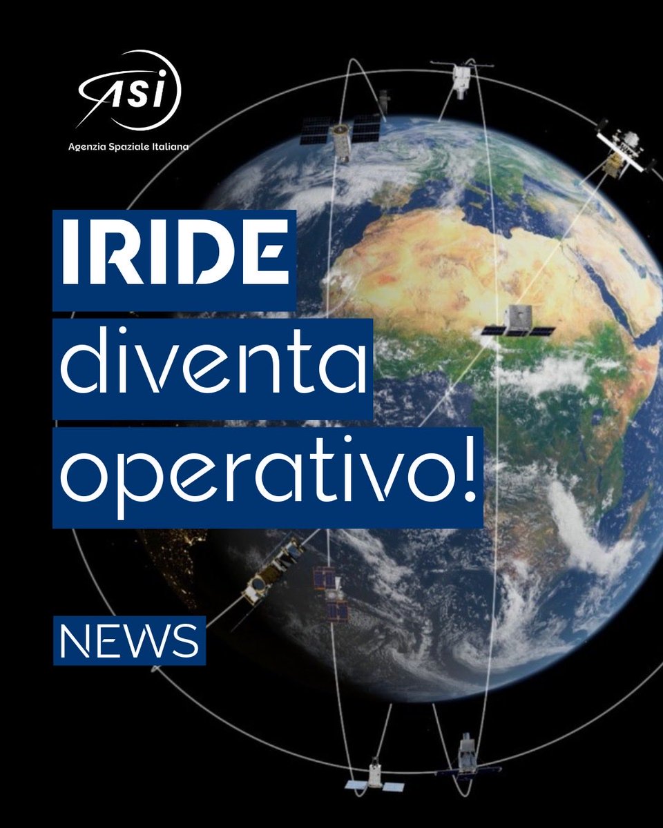
🛰️ Da oggi è ufficialmente operativo il sistema @IrideSpazio, la costellazione satellitare italiana per l'Osservazione della Terra promossa dal Governo italiano nell’ambito del PNRR e gestita da @esa e @ASI_spazio.
🌍 Allo scoccare della mezzanotte, presso il quartier generale di e-GEOS, parte di @LDO_Space, è stato eseguito il primo tasking per l'acquisizione di dati tramite il Marketplace, segnando il lancio del punto di accesso unico ai dati di IRIDE destinati a utenti istituzionali e commerciali. Il Marketplace di IRIDE è realizzato e gestito da un team industriale guidato da e-GEOS e composto da @Leonardo_IT, @telespazio, @planetek, @SercoGroup, @Exprivia e Lutech.
Il lancio del Marketplace di IRIDE è avvenuto alla presenza di:
🔹C. Milena A. Lerario, Amministratore Delegato di e-GEOS;
🔹Lucia Luzietti, Direttore Generale di e-GEOS;
🔹Gabriele De Canio, Responsabile dell’Innovazione Tecnologica di e-GEOS;
🔹Elena Francioni, Responsabile Commerciale Mercato Civile Italia ed Europa di e-GEOS;
🔹Vincenza Luceri, Responsabile Team di Progetto Integrato PNRR Spazio – Servizi di Downstream di e-GEOS;
🔹Francesco Longo, Responsabile dell'Unità Osservazione della Terra di ASI;
🔹Silvia Natalucci, Responsabile della Gestione delle Missioni di Osservazione della Terra di ASI;
🔹Simona Zoffoli, Responsabile del Downstream delle Missioni di Osservazione della Terra di ASI;
🔹Roberta Marras, Direzione Ingegneria e Tecnologie di ASI.
🗞️ Leggi il comunicato stampa dell'Agenzia Spaziale Italiana 👇
#WeUnlockEarth
@telespazio | @ASI_spazio | @LDO_Space | @GAF_Munich | @LDO_Fondazione
🛰️ IRIDE diventa operativo
Dal 1° luglio l'ASI apre l'accesso ai primi dati satellitari e ai servizi geospaziali operativi di IRIDE, il più importante programma italiano per l'Osservazione della Terra, realizzato nell'ambito del PNRR.
🔗 https://t.co/uKvV8Ex52Q
Un percorso multidisciplinare e ricco di esperienze, in Italia e all’estero. Oggi Rosalia Stella è referente Procurement del Centro Spaziale di Matera in @e_geos, dove insieme al suo team supporta le attività operative e commerciali del sito che trasforma dati satellitari in informazioni utili per l'Osservazione della Terra.
Scopri di più: https://t.co/K6428WPd2q
#WeAreLeonardo
A multidisciplinary path, rich in experiences gained in Italy and abroad. Today, Rosalia Stella is Procurement Lead for the Matera Space Centre at @e_geos, where, together with her team, she support the site’s operational and commercial activities, helping transform satellite data into valuable information for Earth Observation.
Discover more: https://t.co/AQrp6NtUz4
#WeAreLeonardo
We had the honour of welcoming the Portuguese Ambassador to Italy, H.E. Carlos Pereira Marques, the President of the Portuguese Space Agency, Ricardo Conde, and a delegation of representatives from Portuguese institutions and industry to the Fucino Space Centre.
The delegation was welcomed by @massimoc_square , Managing Director of #LeonardoSpace, alongside the top management of @telespazio, Leonardo Space, Telespazio Ibérica and @e_geos, who presented an overview of the Leonardo Space Group’s activities and capabilities, offering solutions in an ever-evolving domain that is increasingly vital to sustainability, security and economic growth. As the Space sector continues to be a strategic driver of technological innovation and a key enabler of industrial competitiveness for both Italy and Europe, strong partnerships and collaboration are essential to strengthening reach and impact across the globe.
Following institutional greetings and presentations by Leonardo Space and Telespazio Ibérica, the day featured the signing of a Letter of Intent (LOI) between Telespazio Ibérica and CEiiA, marking a new step in industrial cooperation between Italy and Portugal.
On International Women in Engineering Day (#INWED), we celebrate the talent, passion, and impact of the women driving innovation across #Leonardo - perfectly reflected in this year’s theme, “Engineering Intelligence,” which shines a light on the creativity, problem-solving mindset, and courage women bring to tackling complex challenges every day.
Nearly 5,500 of our female colleagues hold degrees or diplomas in technical and scientific fields, contributing to shaping the future of technology, and over 2,600 Leonardo women work in R&D and Engineering functions. Through their passion, expertise, and leadership, they play a key role in advancing innovation while inspiring new generations of women to pursue careers in #STEM.
We continue to invest in initiatives that inspire, support, and empower women along their educational and professional journeys. This includes the cross-industry network, Women in Aerospace Europe (WIA-E). As members we are strengthening our commitment to inclusion across the aerospace sector - supporting professional communities and providing women at every stage of their careers with access to mentoring, learning, and growth opportunities.
We are also pleased to celebrate Professor Fiona Clark, Head of Capability, Electronic Warfare Sensors at @LDO_Electronics UK ,who has recently been appointed Officer of the Order of the British Empire (OBE) in the King’s Birthday Honours List 2026. This prestigious recognition reflects her outstanding contribution to the Aerospace and Defence sector, as well as her more than 40 years of dedication to advancing gender diversity, serving as an inspiration to women and girls aspiring to pursue education and careers in STEM.
A powerful example of how leadership and empowerment can create a lasting impact in engineering.
To learn more about our career opportunities: https://t.co/z7eVv0z10e
#INWED2026
🌱 e-GEOS, part of @LDO_Space, joined the event “Smart Agricultural Ecosystems: AI, Edge Computing, IoT and Space Economy”, organized by Fondazione Guglielmo Marconi and focused on the role of technological innovation in shaping the future of agriculture.
🎤 During the event, Sandro Ruggeri, Head of Civilian Commercial and Business Development at e-GEOS, shared the company’s long-standing experience in delivering 24/7 agricultural monitoring services and highlighted the latest innovations driven by cloud-based processing, artificial intelligence and machine learning.
🛰️ The e-GEOS digital agriculture solutions leverage multi-temporal satellite imagery and AI models to support crop mapping, agricultural planning and resource management. These capabilities help institutions and stakeholders to improve land asset verification, monitor crop growth and detect areas with reduced vegetation vigor. They support environmental sustainability by enabling more efficient use of water and fertilizers, reducing waste and assessing the impact of climate-related events such as floods and droughts on agricultural productivity.
#WeUnlockEarth
@telespazio | @ASI_spazio | @LDO_Space | @GAF_Munich | @LDO_Fondazione
e-GEOS, part of @LDO_Space, participated in the European Conference on Synthetic Aperture Radar (EUSAR 2026) in Baden-Baden. During the event, Axel Oddone, Head of Customer and Post Sales Services, presented the paper “COSMO-SkyMed Mission Outline”, jointly authored by e-GEOS, @ASI_spazio and @MinisteroDifesa.
The paper highlights COSMO-SkyMed as one of the most efficient SAR missions currently available on the market, showcasing its unique capabilities wich provide a solid foundation of high-quality data for a wide range of user communities. The presentation also highlighted the mission’s extensive archive, supporting advanced multi-temporal analysis worldwide.
Looking ahead, the operational phase of CSG-3, launched earlier this year, together with the future launch of CSG-4, will further enhance the constellation’s capabilities, providing a worldwide 12-hour revisit time and greater performance and operational flexibility for advanced Earth Observation applications.
#WeUnlockEarth
@telespazio | @ASI_spazio | @LDO_Space | @GAF_Munich | @LDO_Fondazione
🛰️ The Supernova engagement programme by e-GEOS, part of @LDO_Space, headed to the @Thales_Alenia_S Assembly, Integration and Testing (AIT) Centre in Rome, offering recently recruited junior researchers and their managers the opportunity to explore another key segment of the @Leonardo_live Space Division value chain.
🎤 The day featured the participation of Alessandro Stolfa, Director AIT Centre Rome at Thales Alenia Space; Gabriele De Canio, Chief Technological Innovation Officer at e-GEOS; Marta Di Santo, Head of People and Organization at e-GEOS; and Axel Oddone, Head of Customer and Post Sales Services at e-GEOS. During the visit, the researchers and their managers had the opportunity to tour the clean rooms of the AIT Centre, where satellites are assembled and tested before their launch into orbit.
🚀 The Supernova programme was launched to support the seamless integration of new research staff across e-GEOS and the wider Leonardo Space Division, while also equipping their managers with targeted people management skills through tailored training, one-to-one mentoring and team-building experiences.
#WeUnlockEarth
@telespazio | @ASI_spazio | @LDO_Space | @GAF_Munich | @LDO_Fondazione
👏 We are delighted to announce that during the latest General Assembly of @EARSC, C. Milena A. Lerario, CEO of e-GEOS, part of @LDO_Space, was elected to the association’s Board of Directors.
🛰️ In her new role, C. Milena A. Lerario will focus on driving the development of the entire European Earth Observation ecosystem, fostering synergies between downstream services and upstream infrastructure, bridging commercial market needs with the security domain, and strengthening relations with European and international institutions.
#WeUnlockEarth
@telespazio | @ASI_spazio | @LDO_Space | @GAF_Munich | @LDO_Fondazione
Gabriele Murchio, Product Manager Digital Twin Solutions / Reality Mapping at e-GEOS, part of @LDO_Space, joined the @Esriitalia Conference 2026, presenting the capabilities of Earth Observation-based Digital Twins as operational tools supporting public administrations to better understand, predict and manage the territory.
The presentation showcased some of the projects through which e-GEOS is contributing to the development of advanced digital models. These include @esa's Smart Urban Resilience Enhancement (SURE) project to simulate flood and urban heat island scenarios, and the Hydro-Meteorological Digital Twin developed within the @IrideSpazio CyberItaly programme, aimed at supporting hydrogeological risk management and air quality monitoring at the national scale.
Finally, the presentation highlighted the e-GEOS role as a "Digital Twin Factory", capable of developing the entire value chain, from geospatial data acquisition and integration to the production of 3D models and simulation tools that support informed decision-making.
#WeUnlockEarth
@telespazio | @ASI_spazio | @LDO_Space | @GAF_Munich | @LDO_Fondazione
Over the past two days, e-GEOS, part of @LDO_Space, had the pleasure of hosting the second @CopernicusEU SESA Technical Workshop at its Headquarters in Rome.
The event brought together representatives from @eusatcen and the SESA consortium, led by e-GEOS and composed of @Airbus GeoTech, Airbus Defence and Space, @GAF_Munich, @infoGMV, @IABG, @CLS_Group and @telespazio Ibérica.
#SESA is the European geospatial information service, implemented by SatCen, which supports the EU and its Member States in operations and interests where security challenges are involved. The consortium led by e-GEOS plays a key role in delivering geospatial products to the service.
Discover more in the full news on the e-GEOS website: https://t.co/kCvpi88Sv1
Learn more about Copernicus SESA: https://t.co/tNiM4erHnF
#WeUnlockEarth
@telespazio | @ASI_spazio | @LDO_Space | @GAF_Munich | @LDO_Fondazione
e-GEOS, part of @LDO_Space, and @synspective are proud to announce the signature of a strategic agreement to jointly develop advanced geospatial intelligence solutions.
The collaboration was formally signed today at the Embassy of Italy in Tokyo (@ItalyinJPN) during an institutional ceremony held within the framework of the Italy-Japan Space Dialogues, marking a significant milestone in Italian-Japanese Space cooperation. The signing ceremony took place in the presence of H.E. Mario Vattani, Ambassador of Italy to Japan; H.E. Hikariko Ono, Ambassador of Japan to Italy; C. Milena A. Lerario, CEO of e-GEOS; Motoyuki Arai, Founder and CEO of Synspective; and Marco Brancati, SVP, Technology, Innovation & Systems Architecture of @LDO_Space.
C. Milena A. Lerario, CEO of e-GEOS: “At e-GEOS, we value Synspective’s vision and its innovative approach to SAR technology development, which strongly complements the e-GEOS expertise in advanced value-added geoinformation services. This agreement further strengthens the e-GEOS international positioning as a leading geospatial intelligence provider, fully aligned with @Leonardo_live’s strategic vision for Space and with the commitment to advancing next-generation capabilities through trusted international partnerships.”
Read the Press Release: https://t.co/KXAzvCf2cS
#WeUnlockEarth
@telespazio | @ASI_spazio | @LDO_Space | @GAF_Munich | @LDO_Fondazione