@WXmarcus Trust you me that I am sure a CIG2 was considered. CIG2 is roughly a 12% of an EF3+ tornado, while CIG1 is 6%. It's possible the confidence just wasn't there.
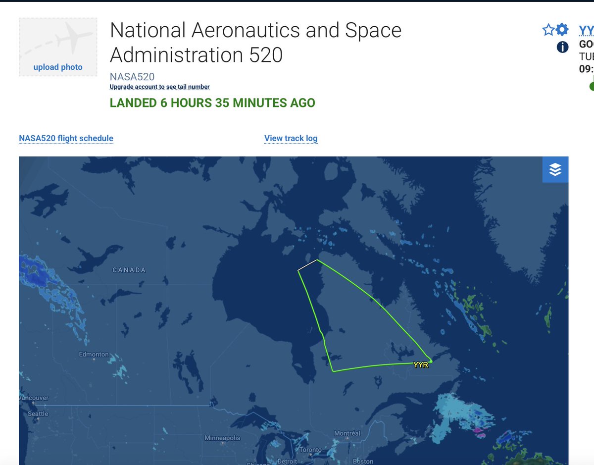
@krisbedka We've seen some evidence that the data got transmitted into the GFS, but can not say for sure 100%. I can tell you that the infrastructure is working is though. We released 9 dropsondes yesterday. Justin says to feel free to reach out to him with any other questions!
Proud to be forecasting for the NASA NURTURE Field Campaign, helping plan daily flight missions. The data we collect isn’t just for future research; it’s fed directly into weather models to improve forecasts, including this weekend’s potential winter storm!
Following up from my discussion yesterday, the biggest uncertainty is in the exact evolution of the TPV emerging out of Canada:
- how quickly does the TPV become negatively tilted?
- how far south/west does this occur?
Broadly speaking, scenarios range from the following:
Scenario 1: More progressive and weaker TPV digs into the SE US and only becomes negatively tilted offshore, with a minor-moderate snow event over the Carolinas & heavy snow well offshore
Scenario 2: TPV is stronger and farther west, becoming negatively tilted over the SE US & forcing rapid cyclogenesis just off the Carolinas, with a major Carolinas/VA snowstorm and moderate snow farther up the coast as the decaying post-occlusion low tracks northeast
Scenario 3: TPV is even stronger and farther west, with the latitude of negative tilt shifted a bit north, favoring a major coastal snowstorm up to Maine primarily south/east of I-95 but possibly including the big cities
Ice Storm Warnings have been issued for the Adirondacks, St. Lawrence Valley, and Greens where the greatest ice accumulations are expected. Stay safe, everyone!
Very strong signal for impactful icing across much of the Northeast U.S. Locally, some of the highest impacts are forecast across the Adirondacks where the WSSI now has major impacts forecast. I wouldn't be surprised to see an Ice Storm Warning upgrade for the Adirondacks.
Very strong signal for impactful icing across much of the Northeast U.S. Locally, some of the highest impacts are forecast across the Adirondacks where the WSSI now has major impacts forecast. I wouldn't be surprised to see an Ice Storm Warning upgrade for the Adirondacks.
Another fascinating radar loop out of KBGM. One can see a clear distinction between the stratiform precip in central/eastern NY v.s. the convective precip farther south across eastern PA. 02z SPC mesoanalysis show elevated instability with pockets of MUCAPE > 100 J/kg across PA.
Interesting find is that KBUF Radar is reminiscent of a summer time MCV, perhaps in response to the progressive upper-level shortwave located on the edge of the ridge, i.e, a "ridge roller"! Can clearly see the dry slot as well, which could cut totals somewhat south of I-90...
@jaycordeira FWIW, the 00z HREF mean is still 6-8” for the Cap Region. Certainly a lot of spread though across the individual CAMs. Certainly doesn't look as good as it did this morning...
@MikeMasco One needs to be very careful when analyzing this figure as the color bars are different for each NCEI plot. From a quick glance, some forecasts look quite poor, but are actually better than they appear!