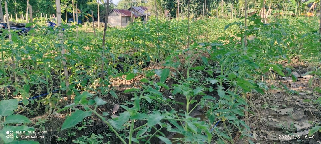
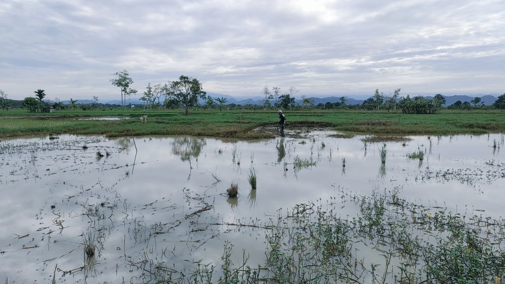
This work moves beyond static rice extent products toward a dynamic representation of rice systems, including cropping intensity, planting–harvest calendars, and rice ecosystem types.
https://t.co/bW7DsGEQgM
#RemoteSensing#RiceMapping#Sentinel1#Sentinel2#EarthEngine
Rice systems are highly dynamic. Our latest work on rice mapping across Southeast Asia is now published:
“High-resolution mapping of rice cropping pattern, intensity, calendar, and ecosystem type across Southeast Asia”
https://t.co/ovn7xXgloc
@rudi91988855@BudimanSoil
NEW RESEARCH: Climate TRACE’s rice emissions sector lead has published an improved approach for data on rice cropping intensity, spatial resolution, and cultivation practices. This approach is applied to improve Climate TRACE rice emissions estimates. https://t.co/iFDe4KX10K
Happy to share our latest article: “High-resolution maps of rice cropping intensity across Southeast Asia” in @ScientificData. This #OpenAccess 10 m map enables precise estimates of growing & harvested areas across the region.
https://t.co/XDtBaOyBNg
#EarthEngine#RiceMapping
Following up, you can explore the Open-SEA-Rice-10 through our interactive map (10 m resolution) of rice cropping intensity across Southeast Asia via the #EarthEngineApp:
https://t.co/ruH6rfeB5h
#EarthEngine#RiceMapping#sentinel1#sentinel2
Happy to share our latest article. We mapped rice fields and cropping patterns in Terengganu, Malaysia, using Sentinel-2 and Google Earth Engine.
https://t.co/Oz36U47kDg
#Sentinel2#Rice#mapping#earthengine
@SteveWechslerPT@AcademicChatter Mine now already 5 months with reviewer, when we ask the journal they said they have problem to find another reviewer.
Apa sih pH tanah itu?
pH adalah singkatan dari potential hydrogen. Yaitu sebuah skala perhitungan jumlah potensi ion hidrogen (H+) yang ada di tanah. Ion hidrogen ini lawannya adalah ion hidroksida (OH-). Di dalam tanah, potensi jumlah ion H+ dan OH- ada 3 (tiga) kemungkinan :