@jedsundwall@giswqs@kylebarron2@sinergise @matthmohr @opencholmes@jatorre Well you have better numbers than me about that :). There should be an order of magnitude difference between raw data access and web applications that only need to transfer the pixels you look at though
@jedsundwall@giswqs@kylebarron2@sinergise @matthmohr @opencholmes@jatorre I’d have to do some digging... My guess is that egress isn’t close to being the largest cost so isn’t much of a priority for optimization. With levels of caching it might also be hard to tell how much actually gets transferred to the user.
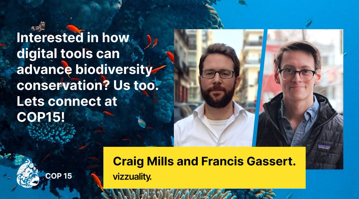
We’re going to @CBD_COP15!
Reach out to @craigmmills and @fgassert if you’ll be there and want to connect over the use of digital tools to scale up and speed up biodiversity conservation. We’re looking forward to hearing the great plans of others and sharing our ideas. #COP15
Vizzuality's @fgassert will be hosting a panel on new forest monitoring innovation & developments at @sat_summit on 9/29.
Did you know that LandGriffon can help companies monitor deforestation risk in their supply chains?
More about our methodology: https://t.co/mpub8Qqa03
Vizzuality’s @fgassert will host the @sat_summit’s Sept 29 discussion on recent developments & innovation in forest monitoring with @UofMaryland’s @lauraduncanson, @picterra’s Pascal van Dalen, @satelligence’s @rensmasselink & @WorldResources’ Fred Stolle. https://t.co/V8wLejhwxt
Earth Engine is now generally available on Google Cloud for governments and businesses. So excited to see the impact that Earth Engine enables for this new group of users, and working together for a more sustainable planet.
https://t.co/IOkh5FrsUq
#GEE#geospatial
@mouthofmorrison Planet tried this of course and walked it back. Their mistake was only releasing california and the sharealike license, which is like limiting the free tier of your SaaS to non-profits in CA. Release a single year of global coverage and everyone will want to try building a 3m map
1/?
Maybe I’m nuts but I truly believe that every satellite imagery provider has an ethical and fiduciary duty to give away their archive for free.
…allow me to explain:
I wrote a simple python lib for GIS analysis on COGs.
- Combine datasets in different scales & projections
- Preview results
- Chunk analysis and run in a Dask cluster
https://t.co/TmRQa8Tsn7