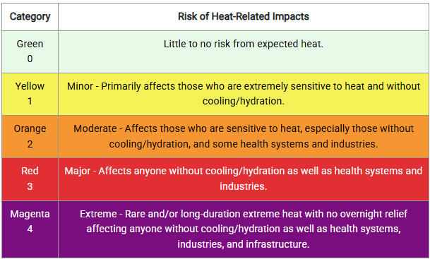
A Heat Advisory remains in effect for the area until Friday evening. Heat indices are expected to reach or exceed 100 degrees for most of the region each afternoon through Friday.
As is often the case with these very hot & humid summertime days, a few pop-up storms in the afternoon could bring brief gusty winds, quarter sized hail, and a heavy downpour. Best chance of this for both today & Thu afternoon will be in the mountains & along & south of I-40.
Dangerously hot conditions will build across much of the eastern U.S. this week, including our area. Heat index values are expected to reach 100 to 110 degrees beginning Monday and continuing through at least Thursday. Overnight temperatures will provide little relief, with lows only falling into the mid to upper 70s. Stay hydrated, limit time outdoors during the hottest part of the day, and NEVER leave children or pets in parked vehicles
Don’t wait until heat arrives to begin protecting yourself. The forecast calls for extreme heat this week, you can begin preparing NOW.
More: https://t.co/Ynl3VCdFFD
06/28 Tropical Update: NHC keeping expected low pressure area at 20% this Sunday AM. Models not showing much at all. Even Google backed down on idea. EURO ensembles here showing nothing the next 10 days. Rain chances hardly show this low making a dent on east coast rains this week. No stress with this one! https://t.co/0EQMEw6Iu0
The slow moving front north of the Carolinas will drift south into early next week.
It has a low chance of forming low pressure that could organize into a tropical depression next week. No major concern, but it will enhance rain potential for the Georgia and Florida coasts.
Showers and storms are expected Saturday afternoon into the evening with potential isolated flooding and a few strong to severe storms. Flooding is currently of greater risk with damaging winds possible in some storms.
A major heat dome kicks off July next week with the hottest air this season expected for many along the eastern half of the US. Heat indexes next Wednesday and Thursday are expected to range from 105-110 outside of the Appalachians, with instances of 110+ possible especiallly across the Carolinas and the Delmarva!
A dangerous heat wave will impact the central & eastern U.S. starting Sun and continue through the Jul 4 weekend. Highs will be in the 90s-100s with heat indices of 100–110° (locally 115°). Warm nights will offer little relief. Stay hydrated, limit outdoor activity, and seek A/C.
Soak in this great mid-week weather because it's about to get very hot and stay hot for a while. I'm talking about above-normal heat, even by our summer Carolina standards. #cltwx#ncwx#scwx#wcnc
Periods of showers and storms are expected early Monday morning through Monday evening. A few strong to severe storms will be possible Monday afternoon and evening. Damaging wind gusts and localized flooding will be the primary hazards.
Should be a nice weekend shaping up for most of us. Less humid and more sunny than we've had over the past several days. Shower and thunderstorm chances return late on Sunday and will continue through Tuesday of next week.
A few strong to severe storms are possible through this evening. Keep an eye on the radar and a way to receive warning information if you are outdoors.
Some light rain showers have formed this muggy and warm morning. Random showers and storms at times today and this evening, but not necessarily a complete rainout. Still think it's a low chance for a severe wind storm or flooding event, but the maps give additional info.
Complicated weather setup for Thursday/Friday is currently yielding a Level 2 or low risk for excessive rainfall Thursday into Friday, and a low risk (level 1 or 2) for severe storm gusts on Thursday. Lots of things can still change between now and then but rain looks likely.
First Invest of the season. Invest 90 is designated over Mexico and looks to spend most it's time over land heading eastbound towards the Atlantic. Very unique for sure. Latest EURO/GFS ensembles here on https://t.co/Mu8TjUpaFM. Pressure under 1000mb could mean some storms to go along with the heavy rain already expected.