There’s so much vagueposting, lies, AI slop, and old footage clogging the feeds that this site is basically unusable for actual breaking news.
“Something bad happened over Iran that’s being censored” (probably not)
“Tel Aviv took 50 missiles” (they didn’t)
Drone delivery is becoming an active part of transportation systems, but they can only go so far before running out of power. What happens when you need vaccines or snake anti-venom from a far distance?
Enter @ncstateece, @NavajoTech, and @AggieAirUSU
https://t.co/dOyOqzAeH1
Excited to share that I've received an @NSF CAREER award! My group will develop new methods for monitoring vegetation exposed to increasing dust levels using hyperspectral imagery. Thankful for my students, colleagues, & mentors who have supported me!
https://t.co/yrz8JgZnY7
AggieAir has just been granted a Certificate of Authorization for the WHOLE State of Utah, at or below 1,199 feet AGL, class G Airspace.
We continue to push the boundaries of UAS operations within Utah and beyond. Huge thank you to Aaron Whittle!
[email protected] for more info
@USUAggies is recruiting graduate students at the @ASA_CSSA_SSSA conference! Stop by our booth at the exhibitor center, talk with us or take a flyer. I’m also at the conference, you want to talk.
Peak flow of the Logan River - and a drone - provided peak information about the floodplain that's helping cities
#ut@mikeandersonKSL
https://t.co/wwjINhZmUY
Happy to collaborate with KSL to tell the story of the Logan River and the spring flooding! We hope to help improve flood management and current flood models through our mapping efforts.
#remotesensing#loganriver#flooding
Ian Gowing from our AggieAir team flew the Logan river to assess #flooding during those peak flows this spring. Models from the data will help with future events. Read the story here!
https://t.co/htII6mqjoL
#remotesensing
AggieAir's Service Center recently collaborated with Logan and Nibley cities to capture high-res imagery of Logan River flooding. https://t.co/wk5FIr9Z7U
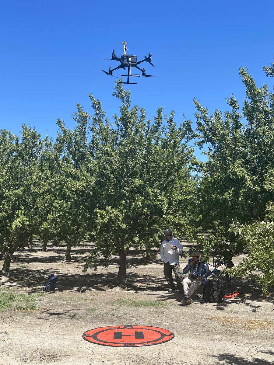
A great two week field work in progress sponsored by @almondboard that involves @AggieAirUSU@ucdavis@USDA_ARS and many more in California almond fields across Central Valley. Our work is related to large scale orchard mapping and atmospheric profiling to address advection in ET
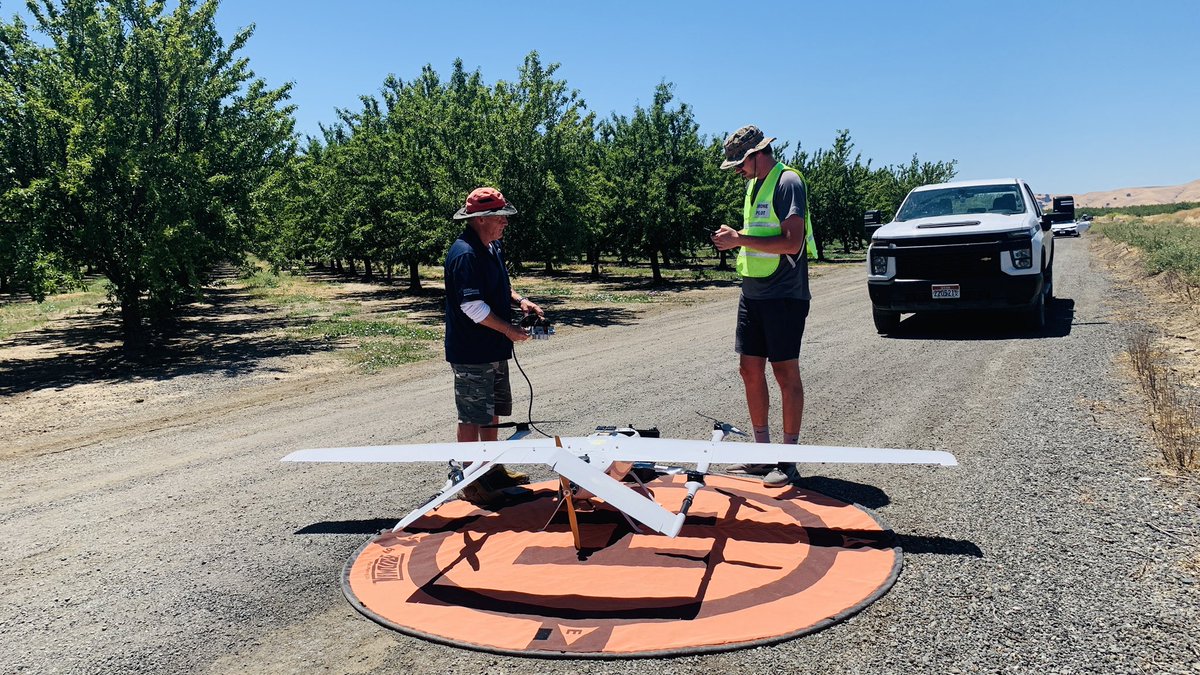
Flying @AeroSystemsWest to measure air temperature across vertical profile for the advection study. It’s also good to see @AggieAirUSU flying the fixed wing for the orchard mapping. @m__roby @nebambach @DrAlfonsoTorres
AggieAir service center at Vacaville, CA 📍
We're collecting air temperature measurements in vertical profile to assess advection effects over irrigated agriculture!
#remotesensing#irrigatedagriculture
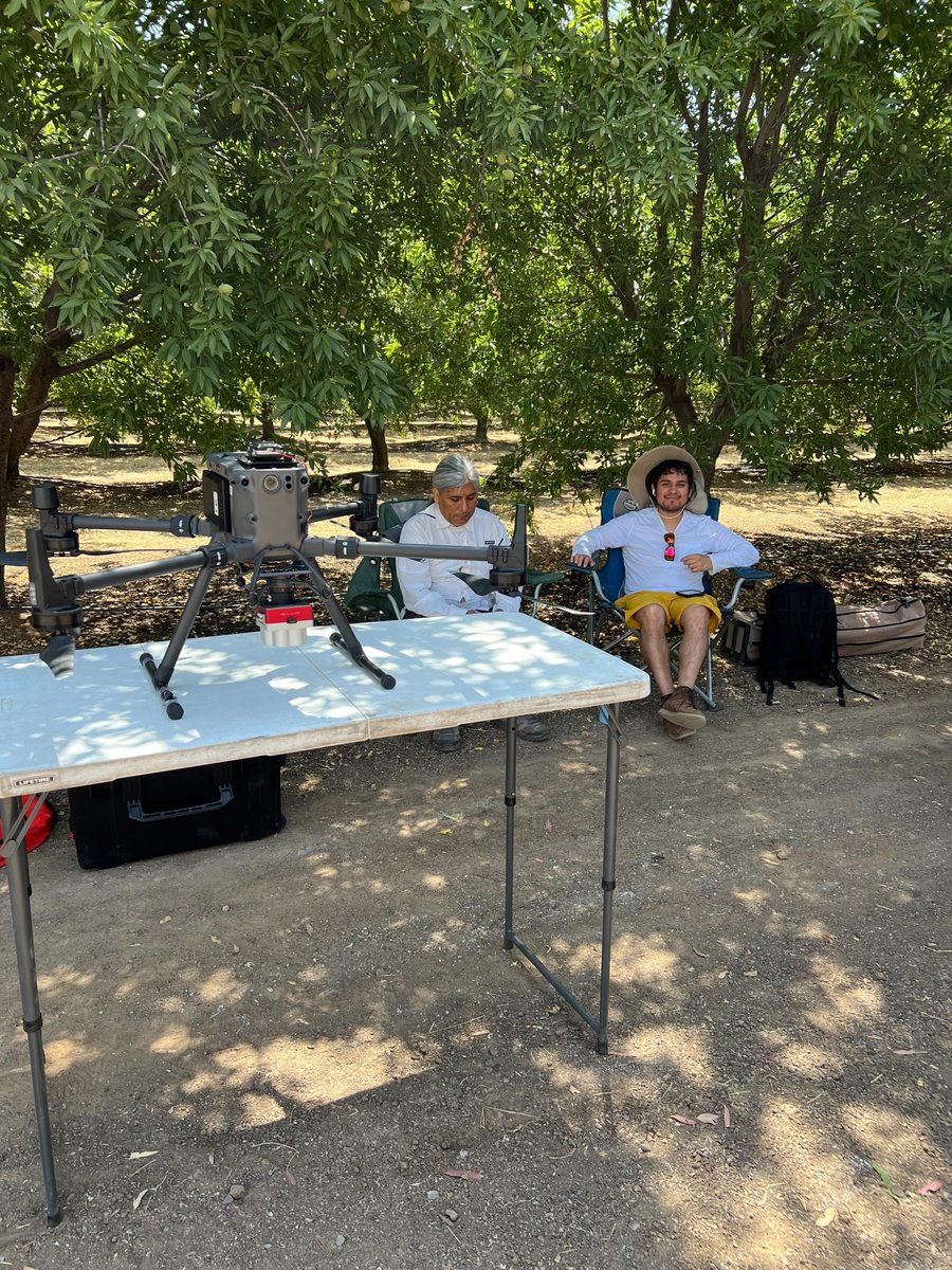
The AggieAir Service Center has moved south onto Madera, CA, to begin GreatBlue fixed wing flights over 450 acres of Almond orchard to assess water use.
The AggieAir Service Center is in Woodland, CA, flying for the California Almond Board to capture imagery over almond orchards to assess water consumption.💧
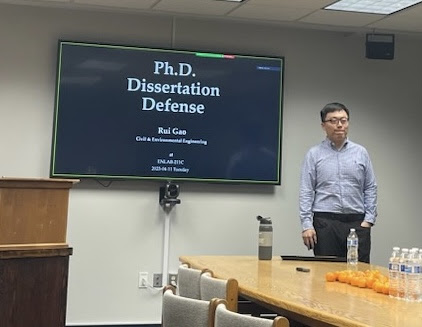
Our @RaymondGao7 successfully passed his PhD thesis defense! His work was related to evapotranspiration, transpiration and water stress in commercial vineyards using @AggieAirUSU UAV information along with physical and machine learning models. @USUAggies@USUWaterLab