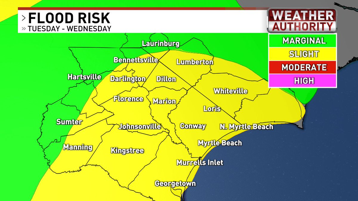
Stalled front, an onshore flow and tropical moisture will lead to rounds of heavy rain over the next 2 days (especially Tuesday). 2-4" of rain looks likely for many. Isolated amounts near 5" possible. Some minor flooding will be possible in streets and low lying areas #scwx#ncwx
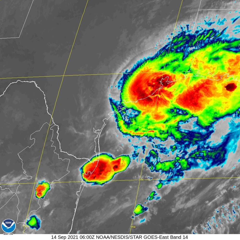
1230 AM CDT 14 September -- Hurricane #Nicholas has made landfall on the eastern part of the Matagorda Peninsula, about 10 miles west-southwest of Sargent Beach, Texas. Maximum sustained winds were 75 MPH with higher gusts at landfall.
Latest: https://t.co/t0VkuDIHwk
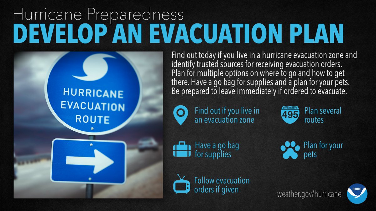
Are you in a hurricane evacuation zone, or in a home that would be otherwise unsafe in a hurricane? If so, think now, about where you’d go and how you’d get there if you're told to evacuate. #HurricanePrep#HurricaneStrong
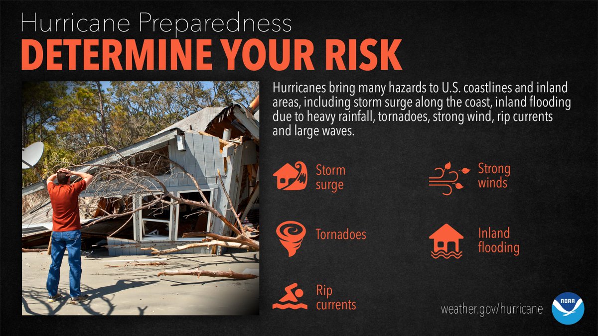
It’s not just those along the coast that can experience significant, life-threatening impacts. Evaluate what you need to do to protect your home and family NOW, before the first storm of the season even forms. #HurricanePrep#HurricaneStrong
Welcome to #EarthWeek2021!
Join us on https://t.co/plcbdF4y41 & NOAA social channels for #EarthDayNOAA content & news you can use to protect the natural world in your own neighborhood.
First --> 10 ways YOU can make a difference right now:
https://t.co/8CuYv211C2
@noaaocean
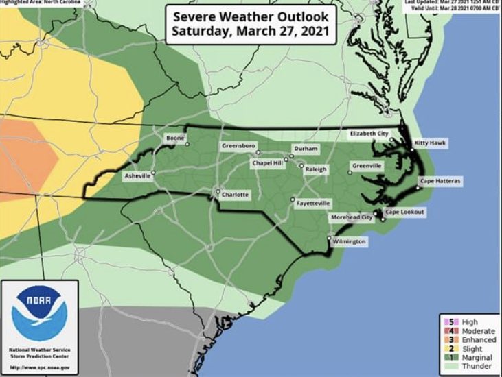
Today, our viewing area has been placed under a 1 out of 5 threat for severe weather which is fairly low but the Chances are still there so you have to be on aware mode. The main threat will be damaging winds and large hail for today. The tornado chances are near zero for today.
STORMY WEATHER: The eastern Philippine city of Catbalogan saw massive flooding due to heavy rains and winds on Sunday as Super Typhoon Surigae passed by. While the storm isn't expected to make landfall, experts predict winds of up to 74.5mph to hit parts of the country