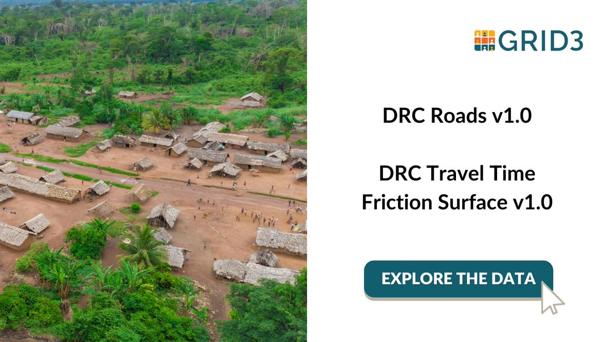
NEW DATA: We've published 2 important datasets on travel networks in DRC! The first dataset maps road and path locations, while the second helps to calculate travel times for walking and/or motorized travel on those paths and roads.
Datasets here: https://t.co/wuHi1gSuOR
🚀New research in @ijgis - innovative method converts fractional population estimates into accurate integers, preserving totals, spatial detail & demographic consistency.
🌍#GeoData#PopulationStats
🔗🔊Report and audio summary: https://t.co/PB9KU2w5kZ
Declining response rates to censuses and surveys is an issue for official data, this article summarizes a new paper on the issue. #census#data
https://t.co/ftrlk0KzPg
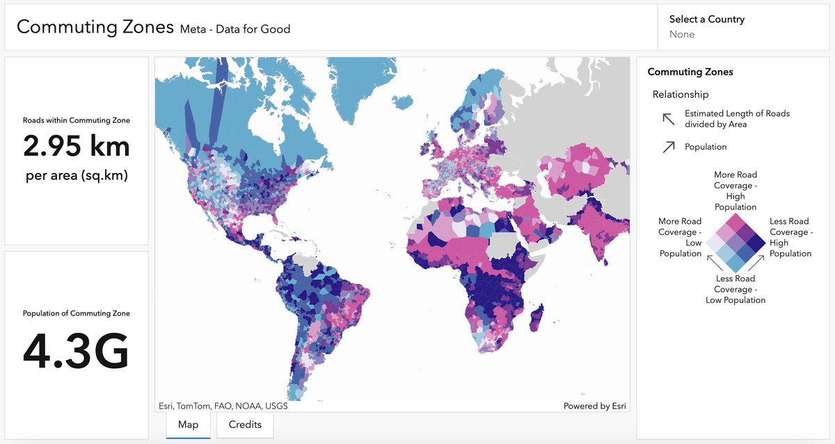
🚗Commuting zones represent areas where we spend most of our time based on where we live & work.
🛣️Our newest dashboard developed w/ @Meta's Data for Good explores how road coverage compares to population in commuting zones worldwide.
Explore it here 👉 https://t.co/9EPuonEBCk
Empowering Development: Comprehensive Data from GRID3 Highlights Sub-Saharan Settlements and Health Infrastructure in the DRC | CIESIN Columbia University https://t.co/9qblMBmzdj
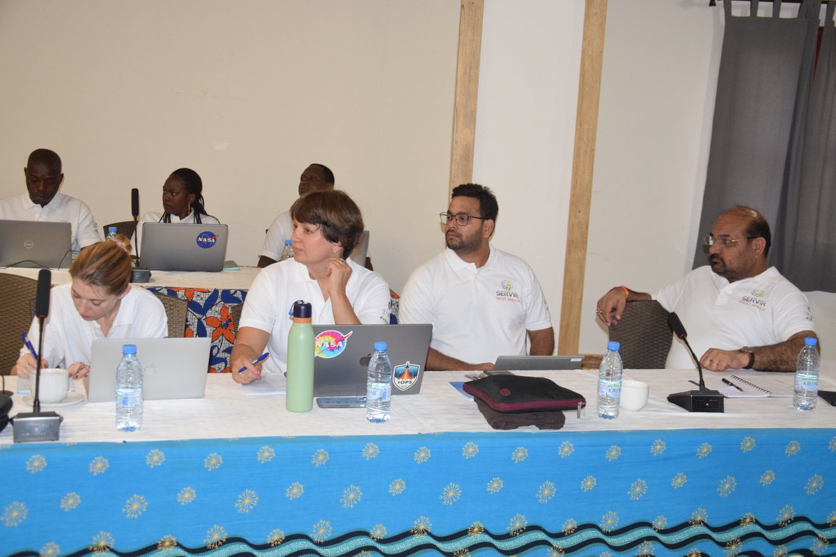
AmeriGEO's recent water resources workshop in Ecuador taught attendees how to work with data from #NASASEDAC and other sources to identify areas at risk of flooding. The event was noteworthy not only for what attendees learned, but how.
Learn more: https://t.co/97rL7KzdCL
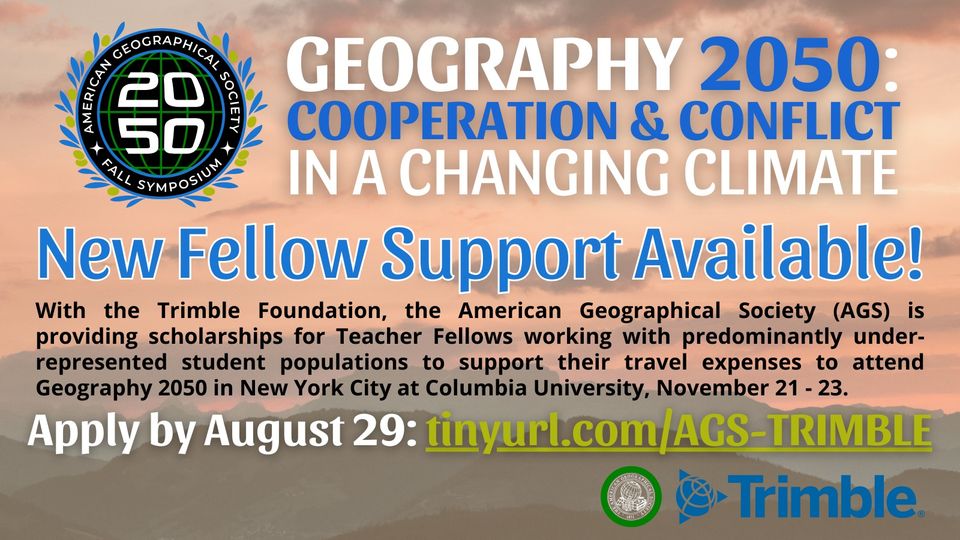
🎉 Exciting News! @AmericanGeo and the Trimble Foundation are teaming up to offer #APHG teachers from underrepresented communities scholarships to attend @geography2050! Don’t miss this chance—apply now! 🌍✨ https://t.co/tqA48RDux1 #TeacherFellows#Geography2050
Come work @ciesin! GIS programmer position, help make new open data products, design analysis processes, and more! Apply via CU. #gisjobs#gischat
https://t.co/M7IuVPFFtf
@CIESIN is looking for a GIS programmer! Work on spatial modeling and developing open data products for humanitarian and other applications. Apply through the CU site at the link below. #gisjobs#gischat https://t.co/M7IuVPFFtf
New open urban data set from @ciesin / #SEDAC: Global Urban Polygons and Points Dataset (GUPPD). Surprisingly few global datasets on urban extents with names, here's a new one!
https://t.co/Q0GyPK9Qyp
DATA UPDATE: With partner @CIESIN we just published V3.1 of the national #DRC Settlement Extents dataset.
Added value:
📈Increased input sources: V3.1 uses 11
🗓️Input sources are more recent
🔓 100% Open data
👉https://t.co/NcgEwyvZYo
Headed to @theAGU meeting this year? I'm co-organizing a session on Gridded Population Modeling Using Remotely Sensed Data for at Risk Populations, please consider submitting an abstract!
#agu2024#population#remotesensing
https://t.co/ZBhGki44xf
‼️ We are thrilled to announce that the GIScience 2025 conference will be held at the University of Canterbury in Christchurch, New Zealand, August 26-29, 2025 🇳🇿
https://t.co/LkLCYlBmqd
#giscience#gischat#giscience2025@UCNZ
CIESIN @columbiaclimate is hiring a deputy director. Great opportunity for those with skills in spatial data/science, decision support; and interests in environmental justice, population dynamics, climate, disasters, remote sensing and more. See: https://t.co/9j68QOLpqS