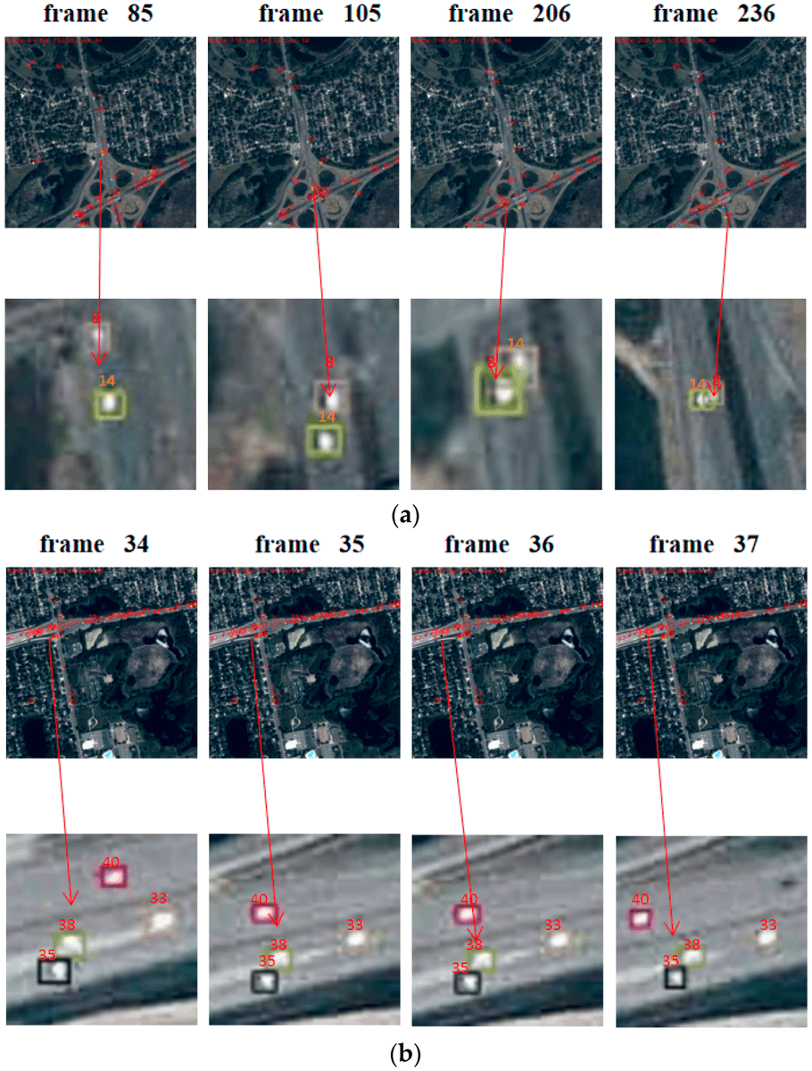
👉👉 HRTracker: Multi- #Object#Tracking in #Satellite#Video Enhanced by High-Resolution #Feature Fusion and an Adaptive Data Association
✍️ Yuqi Wu et al.
🔗 https://t.co/APnjJUJbsK
SINAGIR Puso en marcha Carta Internacional, donde agencias espaciales del mundo brindan datos satelitales ante catástrofes. CONAE gestiona la información del monitoreo de la inundación de Bahía Blanca Argentina. @lanuevaweb@MunicipioBahia@defensacivilpba
Featured article from the CJRS 🛰️
Urban green space extraction from BJ-2 remote sensing image based SegFormer semantic segmentation model
https://t.co/cpZ3ejVPQi
🚀 The #GeoAI Python package now supports feature segmentation from high-resolution satellite and aerial imagery using text prompts, such as trees, buildings, etc. It efficiently processes large datasets with automatic tiling and can save results as a single image. Stay tuned for more features coming soon!
📓 Access the notebook: https://t.co/vrJ0N6YINt
🛠️ Explore the GitHub repository: https://t.co/TBxio7GvtY
📚 Dive into the documentation: https://t.co/6zl0MjNf70
📺 Check out the entire YouTube playlist: https://t.co/KVHZDtgawR
#GeoAI #geospatial #AI #Python #DeepLearning
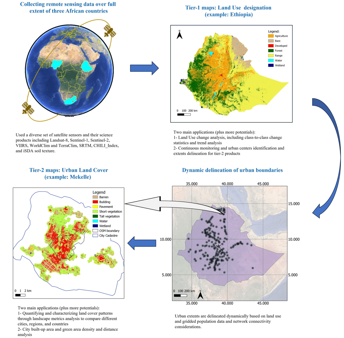
🌍🌍 Multi-Tier Land Use and #Land#Cover#Mapping Framework and Its Application in #Urbanization Analysis in Three #African Countries
✍️ Shahriar Shah Heydari et al.
🔗 https://t.co/MFEFEPnQpK
The biggest weakness of the #iPhone is its lens combination ( 2x and 5x). The most commonly used focal range in photography and videography is 24 to 70 or 80mm.
In my opinion, a 70mm (3x), 48-megapixel lens with a large sensor could perform the same function as a 5x (cropping).
📢 Paper
Our recent paper on mapping #landslides using #deeplearning and high-resolution #DEMs from #LiDAR datasets is available in the Canadian Journal of Remote Sensing.
@CRSS__SCT
https://t.co/YkJRwJJNme
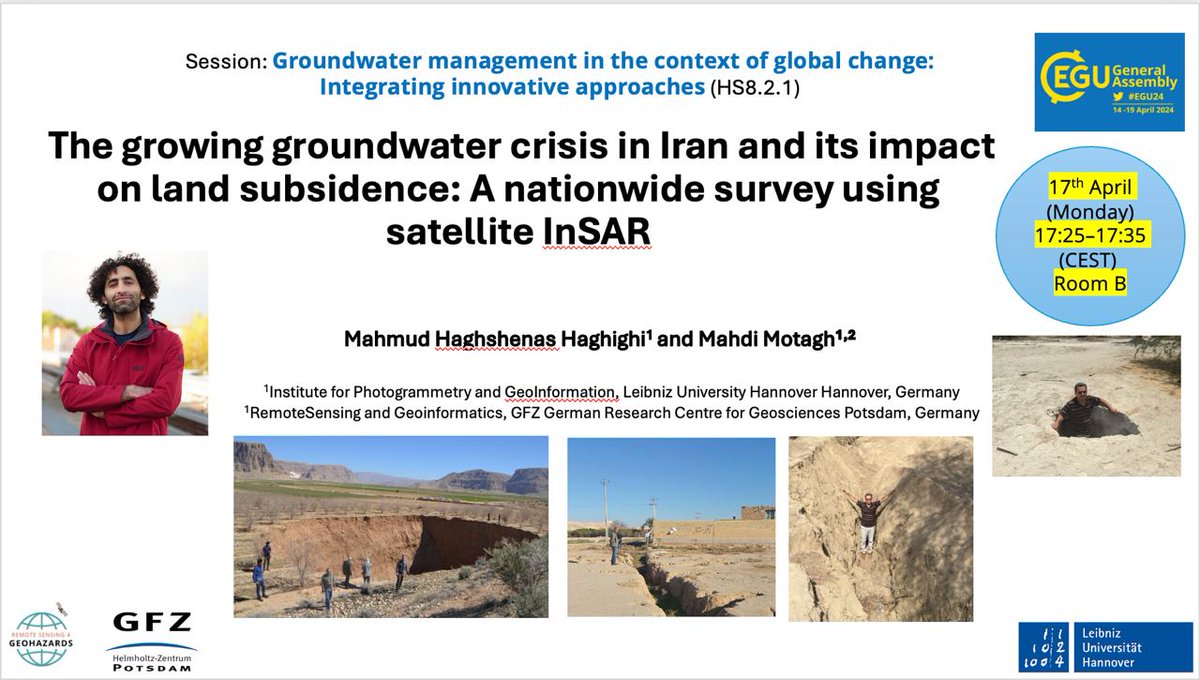
Using the following link, you can see two decades of valuable research by Prof. @MahdiMotagh on land subsidence in #Iran as an interactive map. 🌍
https://t.co/8VcTalcvAk
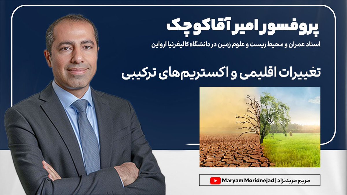
تغییرات اقلیمی و اکستریم های ترکیبی در گفتگو با پروفسور امیر آقاکوچک استاد رشته عمران در دانشگاه کالیفرنیا ارواین
در این گفتگو که به سه بخش تقسیم شد پروفسور آقاکوچک در مورد اکستریم های ترکیبی،استراتژیهای موفقیت شغلی و همچنین مسائل دانشجویی صحبت کردند.
https://t.co/9tYbeeO6VC
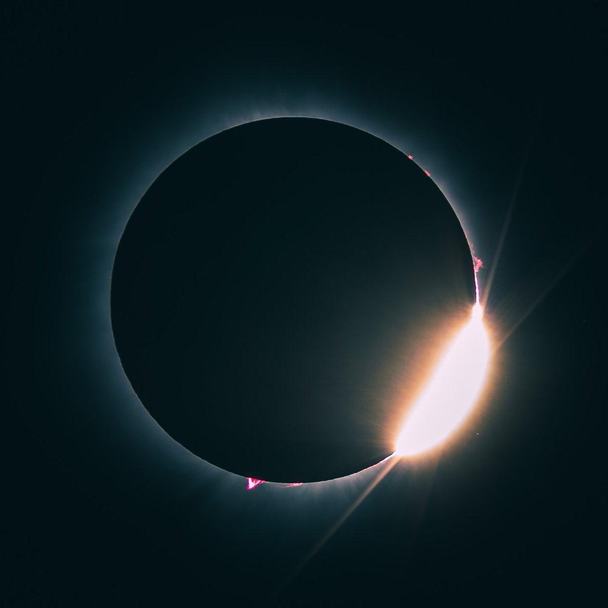
During the solar eclipse, I had the opportunity to capture some remarkable photographs using my #SonyA6400 camera. It was a highly rewarding experience that allowed me to showcase my passion for photography.
#SolarEclipse2024
One Model to Rule Them All!
[One Model for any tasks in the remote sensing field]!
#SpectralGPT, a pioneer foundation model in #remotesensing and #geosciences, has been trained on images of varying sizes, resolutions, and time series.
https://t.co/gUBVhdoYlK
Well researched piece by The Guardian on what is going on in #Bolivia at the moment - largely under the radar of (global) attention: #Deforestation in Bolivia has jumped by 32% in a year. What is going on? https://t.co/7C8g8H9yFp