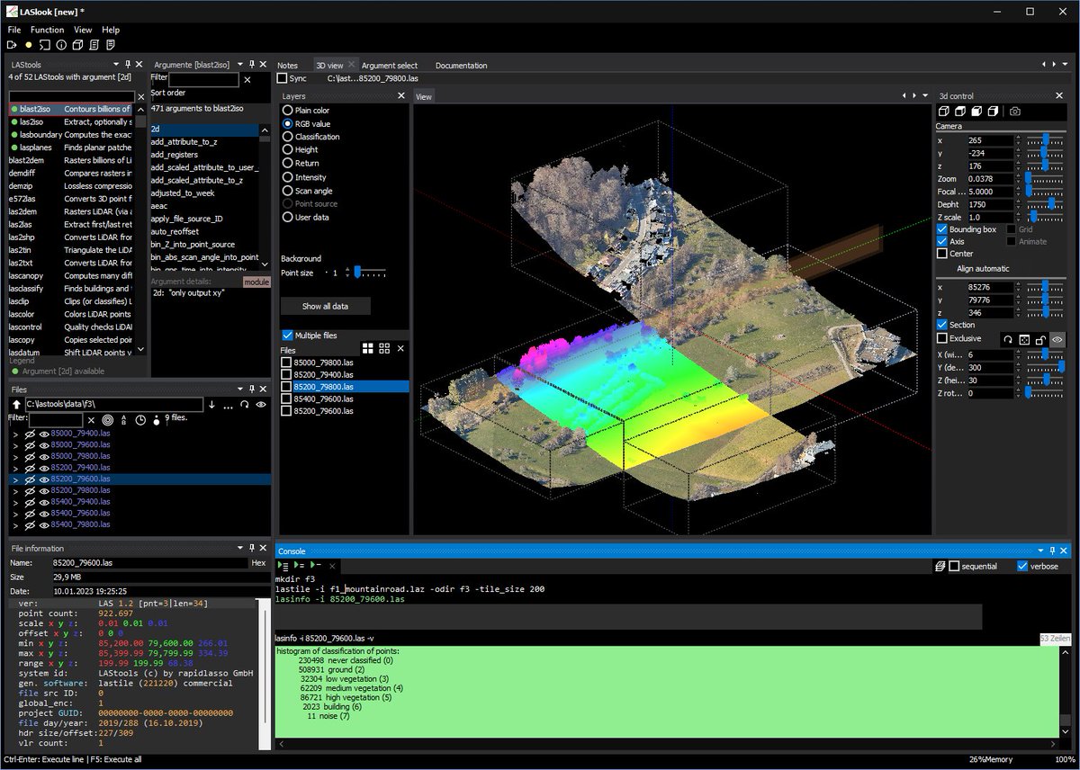
LAStools announces the release of *laslook*, the new graphical workbench! Download FOR FREE to visualize your point clouds. For more info, see https://t.co/2sAdGxDE2Q
Working hard on revising our first manuscript looking at mapping coastal dune habitats with UAV data and Machine Learning. Hopefully it will be published soon. Keep an eye on here. @TCD_Geography@insight_centre
@iHabiMap is in @ieos2022!
@oconnelljerome1 presenting our work on the use of #drones and #deeplearning for habitat mapping and monitoring
... and my poster shows applications of these mapping technologies in dune habitat mapping and invasive species mapping
@mapalljohn
The 'small drones' bit was news to me #gy641 - New radar project to track jets and drones across Irish airspace could cost €300 million (via @thejournal_ie) https://t.co/qIa0iL5Km3
@WeAreTUDublin@charmcharmcruz@TU834GeoSurvey Many thanks to Ryan Court https://t.co/u83tJ8SvmY, Adam McLoughlin https://t.co/6vJJPYgzwj, founders of VuProp Virtual Tours, Ireland https://t.co/OUC4Axu7In and Charm Cruz @charmcharmcruz for their amazing work!
📢 We are pleased to announce that the CALL FOR ABSTRACTS for the Irish Earth Observation Symposium #IEOS2022 is now OPEN! 🌍🛰️
🗓️ Deadline: 15th September 2022
🔗: https://t.co/3tR6RcQEwr
Please RT and follow @ieos2022 on Twitter for further details.🙂
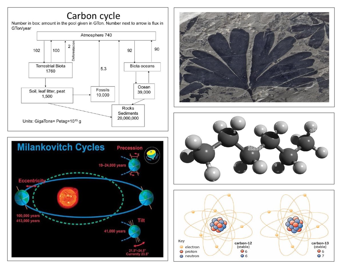
Fully funded PhD Studentship available at Trinity College Dublin, studying carbon cycle dynamics and changes in the latitudinal position of climate belts during past (Early Jurassic) global change events:
https://t.co/Fgh0kUxMn4
@iCRAGcentre@TCD_NatSci@TCDOnTheRocks