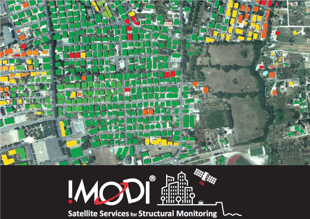
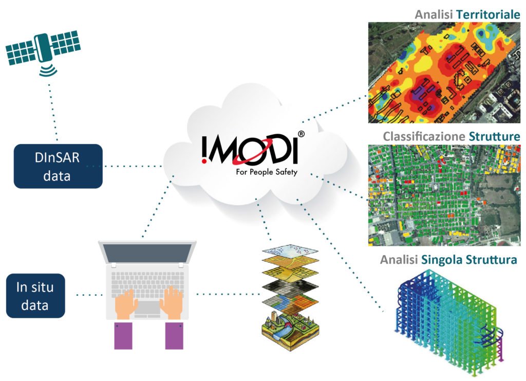
I.MODI exploits EO data to develop customized services for monitorig the stability of buildings and civil infrastructures. Project funded by H2020 SME Phase 2
We've collaborated with @esa on writing an article on how we use #HeritageData. With our @imodiproject we exploit #EO 🌍🛰️data for monitoring the stability of buildings in large urban areas and assessing critical civil #infrastructures. Learn more here!
https://t.co/Sb6aB6aan0
We are glad to announce that we will be present at the New Space Economy European Forum in #Rome from 10 to 12 December. Come to visit our stand in the exhibitor's area! #NSE#NSEexpoforum#newspaceeconomy#RemoteSensing
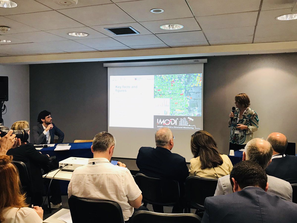
Today we participated at the side event "Italy: the Perfect Platform for Aerospace” at #ParisAirShow, organized by @LazioInnova. Our CEO Maria Marsella presented the @imodiproject. Thanks to the organizers for giving us this opportunity! #SalonduBourget#EO#PAS19
We are pleased to announce the new #partnership between @ondadias and @SurveyLab_Srl. Our CEO Maria Marsella: "Onda's experience will improve our outreach in Europe and around the world." A link to I.MODI service is available on the Onda marketplace: https://t.co/PsQ6gIWvHT
Survey Lab ha partecipato al convegno "L’evoluzione del litorale: dalla #cartografia storica alle immagini #satellitari" e si unisce all'attività di ricerca sugli aspetti cartografici per l'analisi storico geomorfologico e l’evoluzione della linea di riva (Bando @minambienteIT)
On February 19, Survey Lab participated in the #Horizon2020 European #SME#innovation associate Workshop, after MUSA being one of the six projects selected by EASME. We discussed and gave feedback from the pilot action, aiming to improve future calls https://t.co/kTl4VCotTs
I satelliti possono rivelarci anche l'evoluzione della povertà nel mondo 🛰️🌍
Una metodologia messa a punto dai ricercatori dell'Università di Aarhus promette di fornire informazioni dettagliate utili per i programmi di sviluppo delle Nazioni Unite https://t.co/Z8cSWU84v9
🛰 #Monitoring structural stability in urban areas & large infrastructure networks is one of the dominant socio #economical issues for the #safety of the population 🏘
Discover how #IMODI uses #EarthObservation data to create an added value service 👉 https://t.co/GUE7bT6fRM
“We need to make Earth Observation data more accessible, especially to developing countries” – Marc Paganini, @ESA
▶️Join our live webcast from the #Copernicus4SDGs workshop in #Brussels to learn more: https://t.co/bEWIKbQVC8
Cos'è il #SAR? Il Radar ad Apertura Sintetica è un particolare radar a microonde che permette di ottenere immagini ad elevata risoluzione da grande distanza. #surveylab#IMODI#DizionarioIMODI#space