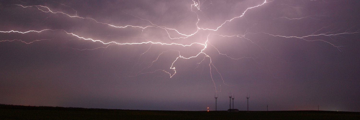
How are trends right now on the Euro? Getting quite a bit more concerning. 500mb and 850mb wind speeds on the rise and height falls dropping (evident of stronger system). This is just a wild scenario we are watching unfold in MID JUNE.
These hodographs have the look of a winter time mega trough but with summer thermodynamics in play, what could go wrong?
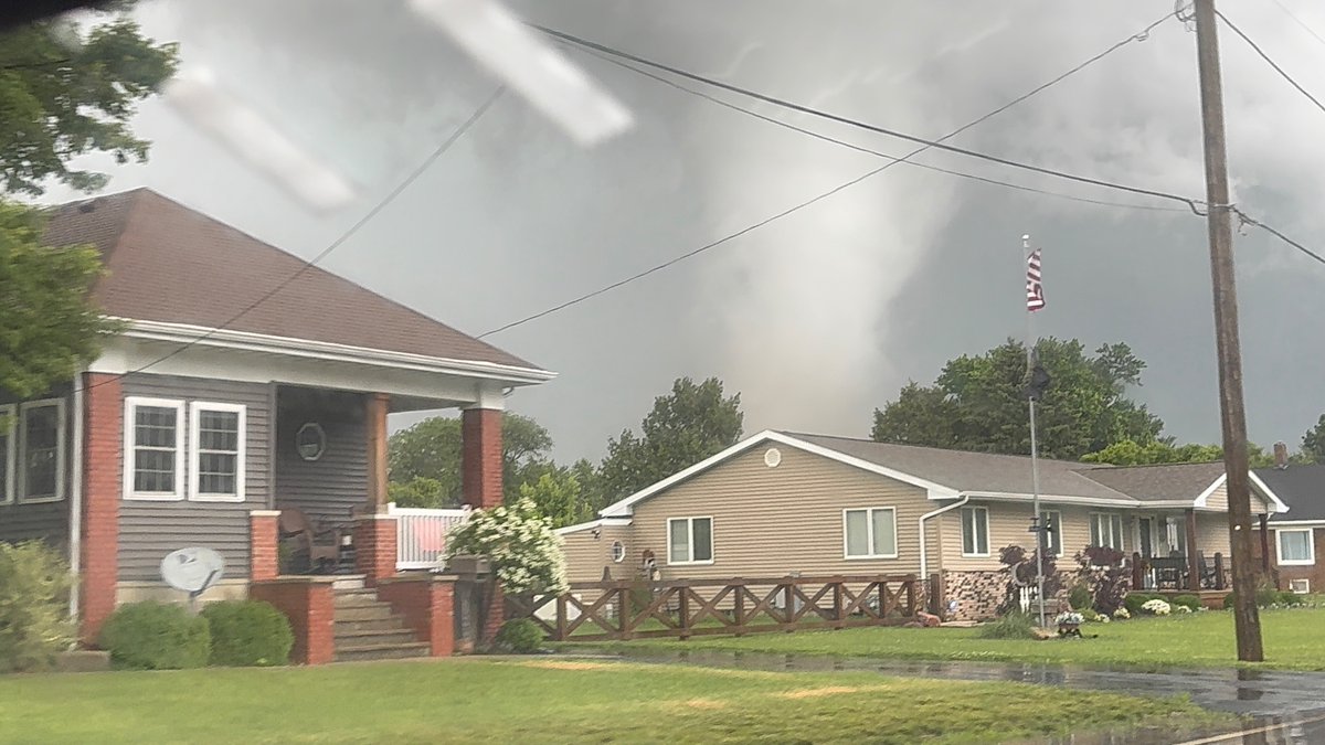
Quick edit showing some of the intense moments today while documenting 8 tornadoes in northern Illinois into Indiana. Massive shoutout to @skydrama for nailing the forecast in the warm sector. Hands down the craziest tornado outbreak I've ever documented.
Full video will be released in the near future on the @thestormreel YouTube page.
#ilwx #inwx #tornado #outbreak
Recently re-released footage of the 2011 Cullman, AL tornado shows its remarkable structure from a new angle. The EF4 presented as a chaotic maelstrom of multiple vortices—some of them entirely horizontal.
There is no sugar coating it - this is a horrendous decision that will significantly decrease confidence in mesoscale, short term and convective forecasting. The RRFS is terrible.
Nobody that I have connected with in the community wants this to happen. Mind boggling.
Storm-following radar loop from KFDR and KFWS of the entire lifecycle of the massive tornadic supercell in TX last night, with one of the wildest reflectivity evolutions I have ever seen