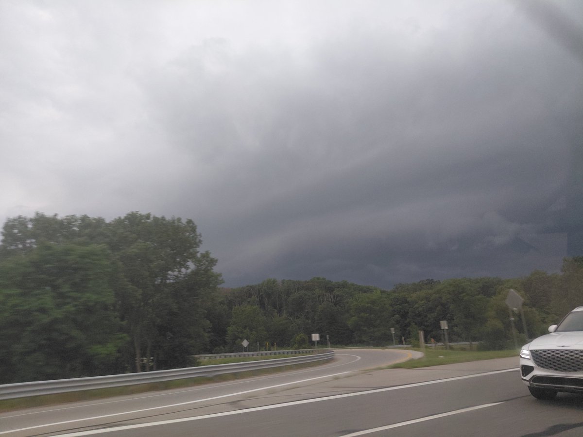
Isolated thunderstorms will continue to develop through the evening. The greatest coverage of storms will initially be over northeast IL and northwest IN, but additional development is expected west of the Fox Valley after 7 PM. Keep an eye on the sky. #ILwx#INwx
monday this, tuesday that, we still have today to worry about. big hailers for northern illinois, tornado threat exists south of i-80 later tonight. #ilwx
148pm: Strong line of storms pushing through the Chicagoland area producing 60mph winds and hail up to an inch in diameter. Expect periods of heavy rainfall as well. Allow yourself extra time while traveling today!
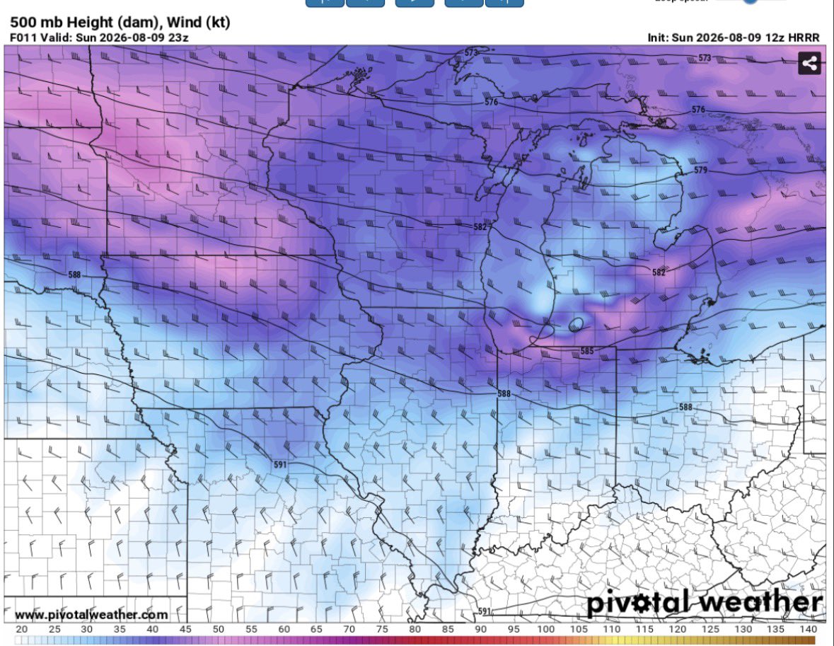
It looks more likely that parts of E IA into N IL will be dodging a significant tornado event today, due to miss timed upper level support, wonky thermos and morning convection.
A surging OFB in SE IA should modify and move NE throughout the afternoon although…
Color me intrigued on Sunday evenings severe threat across northern IL
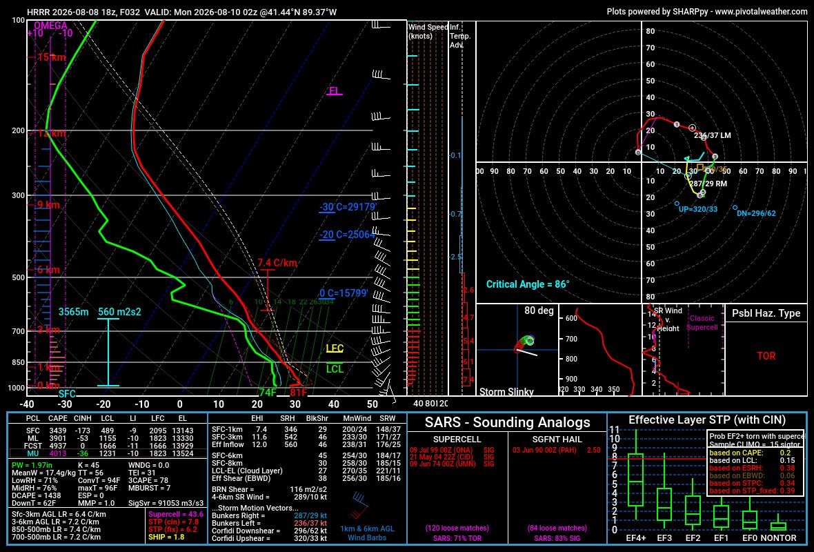
An initial supercell to upscale MCS appears most probable but in the first few hours, especially if a storm can really get rooted along this boundary and utilize strong LL winds, it could be an all hazards situation with chance for a tornado.
website is undergoing a huge update. changes to come before/on august 20th. it will be a lot more interactive easier to use. https://t.co/9s2QW7YCyz
for more info, join the oswego weather center discord, where I post forecasts and other updates. https://t.co/IfGX0KzuB6
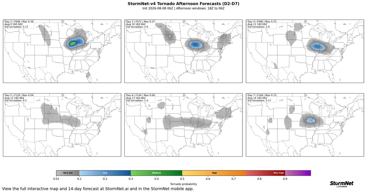
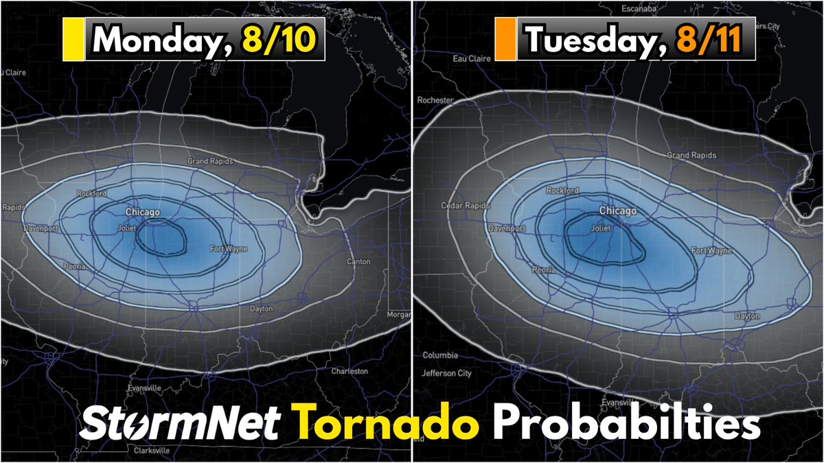
Monday AND Tuesday need to be watched closely for potential Tornadoes.
This may be the first real Severe Weather setup we've had in a while.
I'll keep watching this like a HAWK 🦅
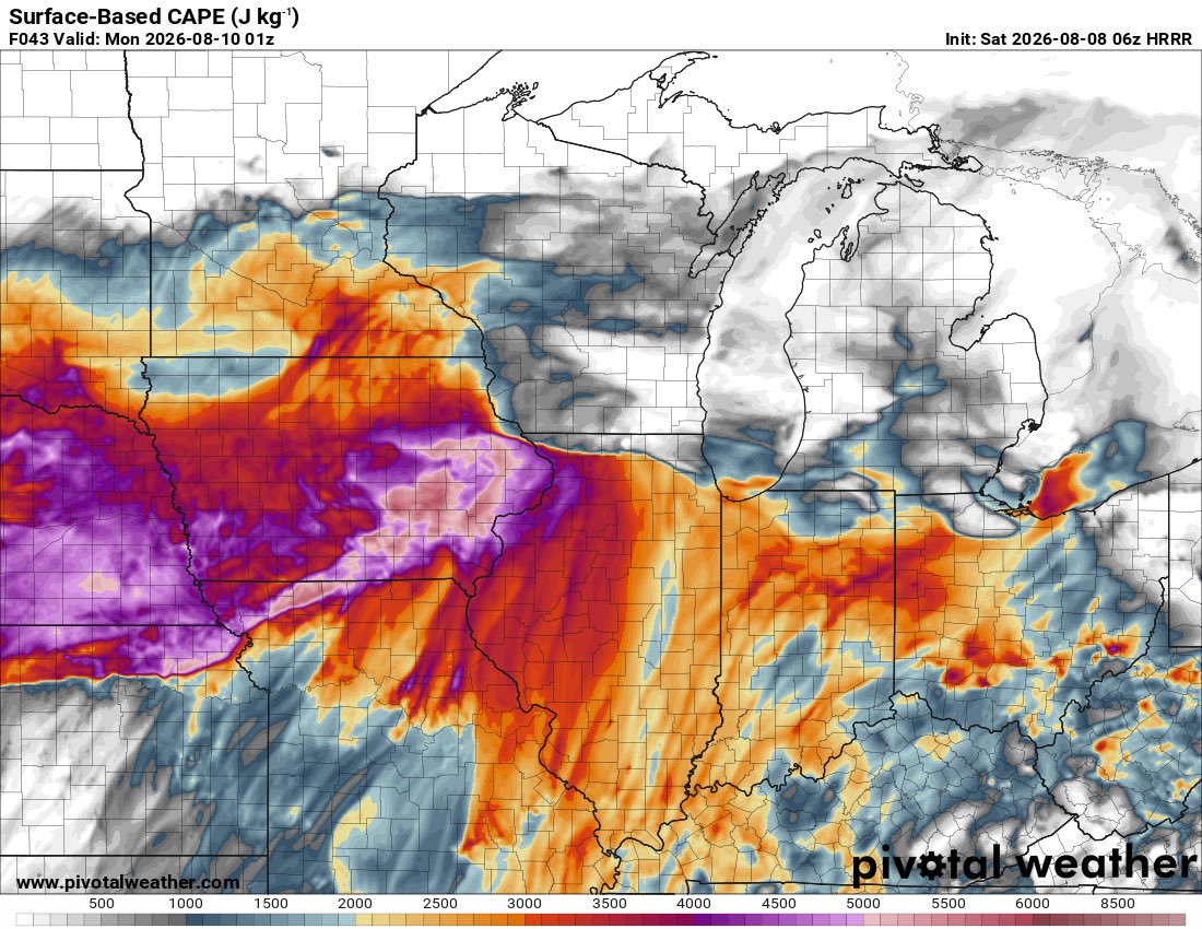
A favorable period for repeated severe thunderstorm risks (potentially significant at times!) is becoming increasingly likely from August 9-12 across portions of the Midwest.
I've got some thoughts & words in a new blog at https://t.co/ivtuIPRkPc