Years ago, I was co-culturing T cells with cancer cells and trying to capture this interaction under the microscope.
The small T cells attack the larger cancer cells, which turn red as they die.
Seeing this happen was one of the moments that made me fascinated by cancer immunotherapy.
WPC is issuing storm summaries for tropical cyclone Lala across the Hawaiian islands. Attached is a map of preliminary rainfall totals associated with the storm.
https://t.co/mSj0gRYjKE
57 years ago right now, Category 5 Hurricane Camille was making landfall near the Louisiana-Mississippi border.
With sustained winds of 175 MPH and a night-shattering pressure of 900 MBAR, she became the 2ND most powerful Hurricane in American History.
Her surge of 24.6 FEET, which ruthlessly flattened every trace of manmade infrastructure along the Mississippi coastline, has to this day only been surpassed by Hurricane Katrina (2005) for a landfalling storm in the United States.
ADT up to 6.7: eye temperature of +20°C
Super Typhoon Dolphin doing much better into Friday morning way out Western Pacific. Eye seems stable for now. Hot towers are firing and we may see some cooling of overall cloud top region.
We'll be watching for another 8-10days!
The EWRC has completed for Typhoon Dolphin, and her new, larger core looks like it’s about to go tropically nuclear.
After spending ~18 hours in a disheveled mess as she tried to replace her highly volatile initial eyewall, the storm is now radically re-organizing, with a cryovolcanic ring of -115 F (-81 C) convection exploding around the new eye.
The CDO symmetry is already nearing perfection, the newly-inaugurated eyewall is exhibiting powerful buzzsaw behavior, and the eye is moments away from clearing to the ocean’s surface in a runaway pressure drop. Barring unexpected structural changes, there’s nothing that can stop Dolphin now.
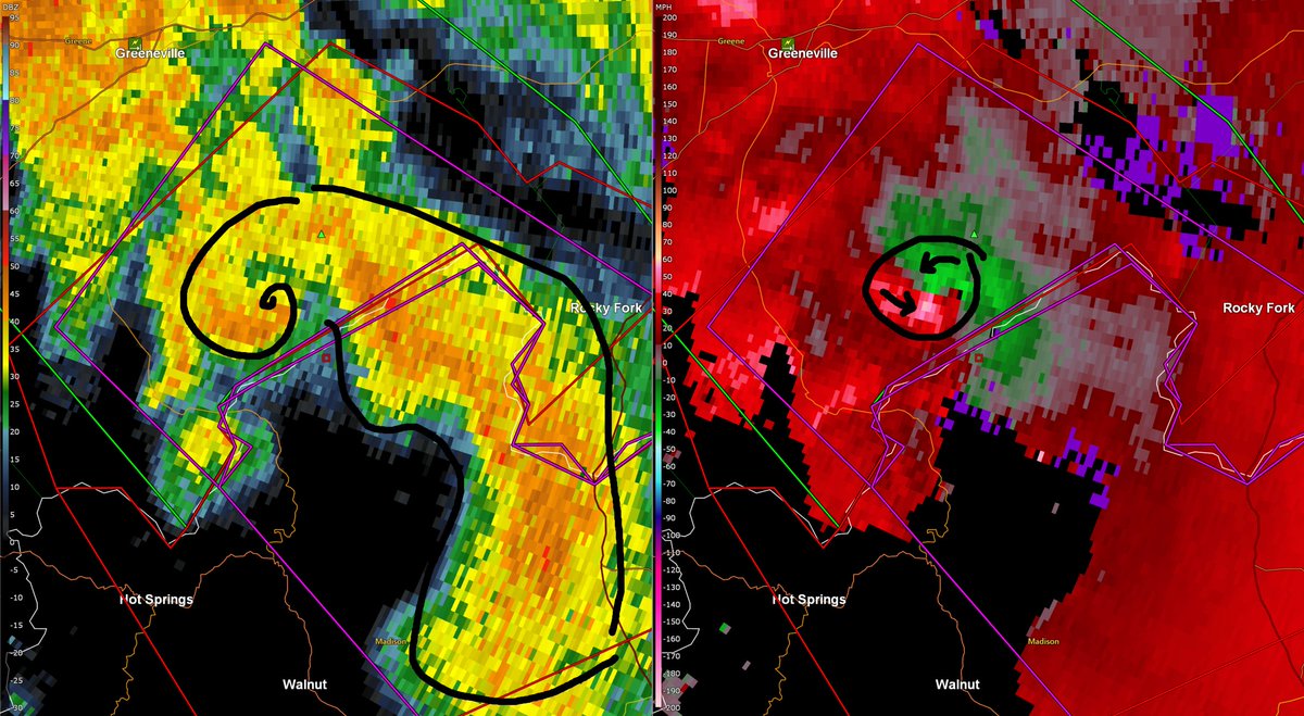
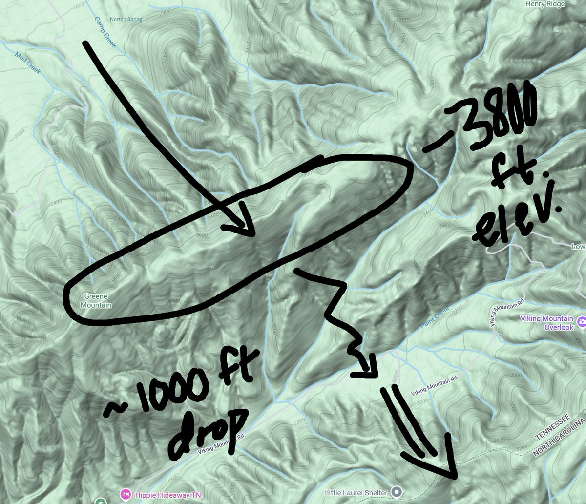
one of the coolest tornadoes I've seen in my entire career watching weather just happened 10 minutes ago going up Greene & Viking Mountain ridge on the border of Tennessee and North Carolina
this tornado formed literally going up the mountainside, then dropped 1000 ft!
Utterly insane how quickly the Appleton tornado came together.
Extremely unstable airmass with moderate shear was likely a decent ambient environment for tornadoes, but I'm sure Lake Winnebago and the nudgers from the west prompted the parent cell to produce a possible VioTor.
2-4 inches of rain, locally heavier, is expected across the Northeast Wednesday into Thursday. WPC has outlined the area in a SLGT risk of flash flooding.
It's not often I sound the alarm about a risk in my area, but I think tomorrow may be that kind of day. Morning convection will have a role and could make or break the day, but I think a few tornadoes, maybe even a strong one, could occur in NC/VA tomorrow...
I believe we saw the Fujuwhara effect earlier in the Markham-Harvey, #ilwx area. These are common with QLCS mesovorticies like this, but it's rare to get such high-quality radar data from it. The Markham tornado slungshot around the weaker meso from Alsip as it slipped south
I’m just stunned at the level of damage the tornado did this afternoon. This is an aerial shot of Third Street in Menasha, Wisconsin.
I’m so grateful, this barely missed me by 2 miles. But I have so many friends who live in the affected area and it breaks my heart that I can’t do anything to help them.