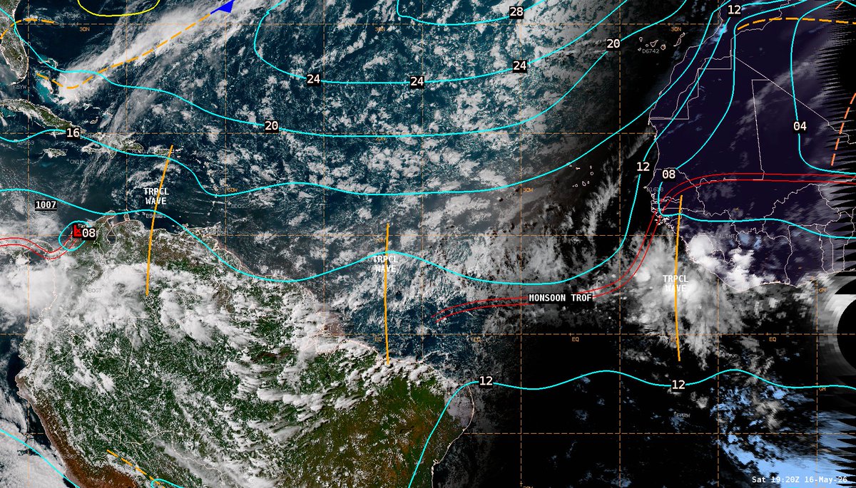
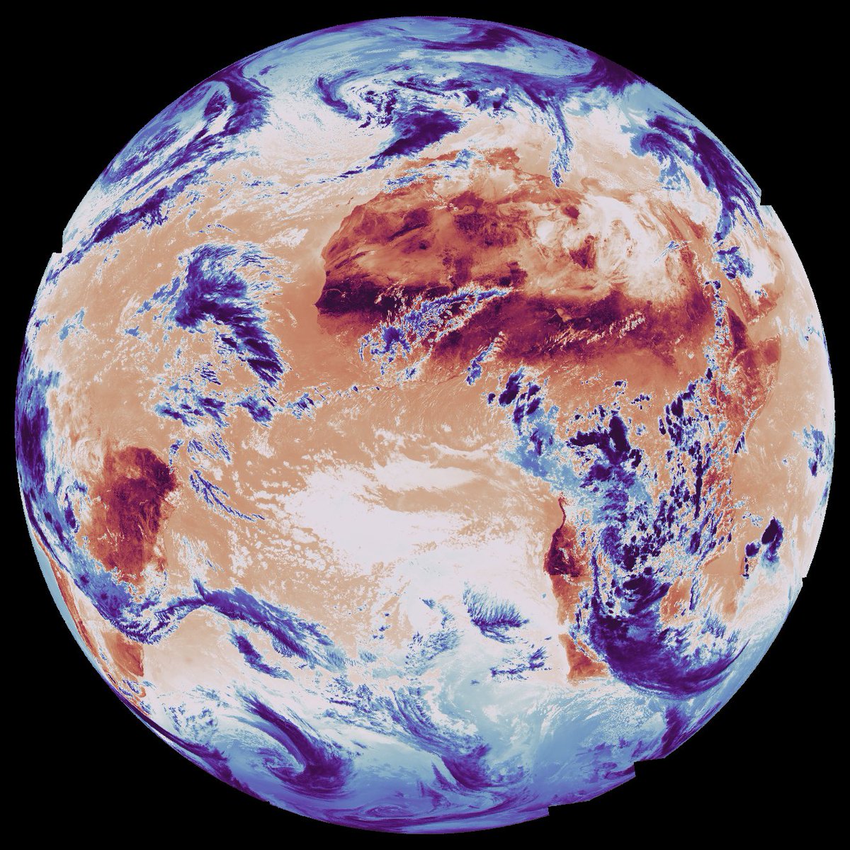
A new tropical wave has been analyzed for the 1800 UTC surface analysis. While some convection is active near this new wave, tropical cyclone development is not anticipated.
Visit https://t.co/QJ4DpXwmJm for more info.
Article: A deep learning framework enables observation of oceanic surface currents down to submesoscale spatial and temporal resolutions from thermal imagery routinely collected by geostationary satellites
https://t.co/jqrCFZuw3r
What if rain shaped human history? 🌧️
A new study led by Efraim Bril, Prof. Adi Torfstein & Dr. Assaf Hochman shows that 127,000 years ago, intensified rainfall turned the Levant into a key migration corridor out of Africa.
Read here: https://t.co/ngn0bCjHgL
March 21: As is typical for this time of year, a double Intertropical Convergence Zone (ITCZ) is observed south of the equator; this pattern often persists into April.
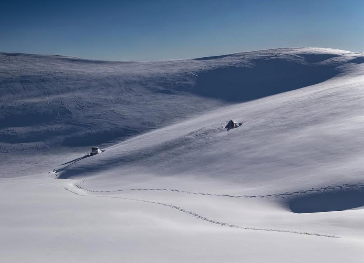
Partagez vos plus beaux clichés du Département avec #AlpesMaritimes
L’équipe du Département vous souhaite une belle journée ☀
📷 @corentin_arickx / L'Authion
@VisitCotedazur
"It's snowing, there is no climate change": Climate myths are a growing problem on social media, but the science is clear. The Planetary Boundaries Science Lab teamed up with PIK scientist @rahmstorf to cut through the top 5 myths around climate change.
https://t.co/sHbGSGx2zd
The #NationalFire burning in Florida has now exploded to 25,000 acres in size. The #wildfire ignited yesterday in Big Cypress National Preserve and @NOAA's #GOESEast (#GOES19) 🛰️ has been tracking the smoke plume and heat from the blaze. @NWSMiami is cautioning residents about low visibilities due to dense smoke.
Between flood and drought: The metric that could better explain what happens to water in the age of climate change. According to this metric, arid regions may be closer to the ecological red line than previously thought >> https://t.co/neBluiyMv1
@dan_yakir
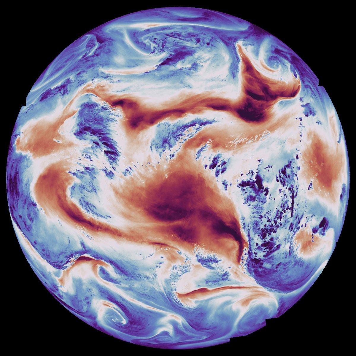
The first official images from @eumetsat's MTG-S1 satellite are in👀
These images from 15 December 2025 show Earth’s atmosphere in terms of temperature and humidity — data that will support more accurate weather forecasting, especially for nowcasting rapidly evolving storms.
How to read them:
In the temperature image (left), warmer land surfaces appear red and colder appear blue.
In the humidity image (right), blue indicates higher humidity, while red marks drier regions.
https://t.co/hBqGiVmJUV
📸 @Thales_Alenia_S, @OHB_SE, @esa and @eumetsat.
Monarch butterflies make one of the most extraordinary migrations in the natural world, often traveling thousands of miles across North America. Now, scientists are using new tracking technology to get a greater understanding of those journeys. https://t.co/qSZmqTMvKA
#Communiqué 🗞️ Une vaste campagne scientifique d’observation aérienne de la mégafaune marine sera lancée en Polynésie française dans le cadre du projet REMMOA II afin d'actualiser les connaissances des grandes espèces marines. 🪸🐠
👉 https://t.co/AhBuw2zlsa