Last big feature for Three.js Water Pro V3 is implementing a completely new wake system with dynamic water displacement.
You'll be able to attach wake generators to any object in the scene and the waves from each will interact.
Still tuning the look (need some churn along sides of boat) but the functionality is working at least!
@sparkjsdev Working great for large area 3D scans! Here's a custom plaza scan using Spark 2.0 LoD streaming combined with Google 3d tile maps and custom models. It takes only 5 seconds (including app download) for this 2.5M splat to start being visible to the end-user, great work!
@bai0@ID_AA_Carmack Yeah same experience, I left, came back, and 0 engagement with posts. Compared to TikTok where I just made a new account and content gets hundreds of likes and thousands of views almost instantly. No joke!
@1littlecoder@3dstreetapp@bfl_ml@SFMTA_Muni@fal Thanks! Sent over a request to the @fal grants team to see if it's possible to get some credits for training on our larger data set 😉 happy to open source the weights
Now available: Convert CAD road striping drawings into aerial views with our AI Street Generator tool (from @3dstreetapp) and our new custom @bfl_ml LoRA we trained with public data from @SFMTA_Muni and aerial images via @fal API.
@_MattHuff@bfl_ml@fal@SFMTA_Muni Correct just images not vectors. There’d need to be a conversion process but that’s do able these days if the image is clean enough. Once training is done inference is cheap
Upload street marking CAD drawings and generate realistic aerial renderings! Demo of a small LoRA fine-tuning of @bfl_ml Flux 2 Dev via @fal from @SFMTA_Muni publicly available striping drawings into aerial satellite map style perspectives.
@_MattHuff@bfl_ml@fal@SFMTA_Muni Yes it is possible, and we have the data, but honestly it's not cheap to get the GPU time to train. Perhaps @fal can help with some credits to do more fine tuning on a larger dataset
30/31: There are a lot of ways to show off cutting edge technology like state of the art Gaussian splat 3D scanning, compositing, visualization, and AI rendering technology.
Here are some cones in a plaza.
29/31: The holidays are a slow time for @3dstreetapp. Even so, in the past 72 hours over 100 scenes were updated by users. Here are 2 I liked and re-rendered...
27/31: Stoked to see the great output from @bfl_ml LoRA fine-tuning of Flux 2 Dev via @fal from municipal street striping drawings into aerial satellite map style perspectives. Now upload arbitrary cad drawings to see realistic aerial rendering in less than 30 seconds.
26/31: From pavements to parks at Treat Plaza North on a future @MySFPUC project. 2024 Concept by Terrain Studio via SketchUp into 3DStreet for compositing w/ map tiles, add'l models, and rendering. More info on Treat Plaza North from @SFBaySierraClub: https://t.co/I1eta3SkgS
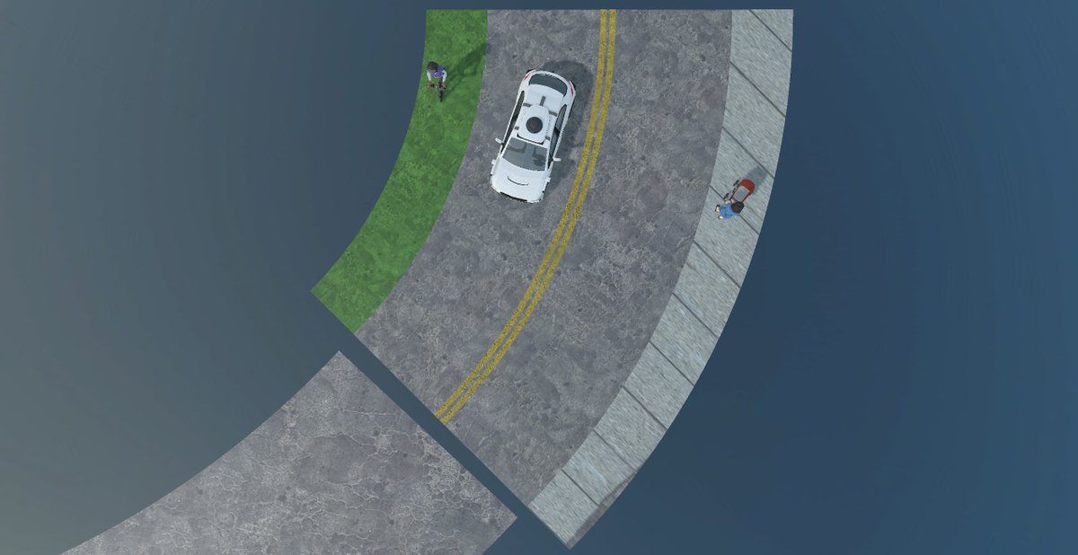
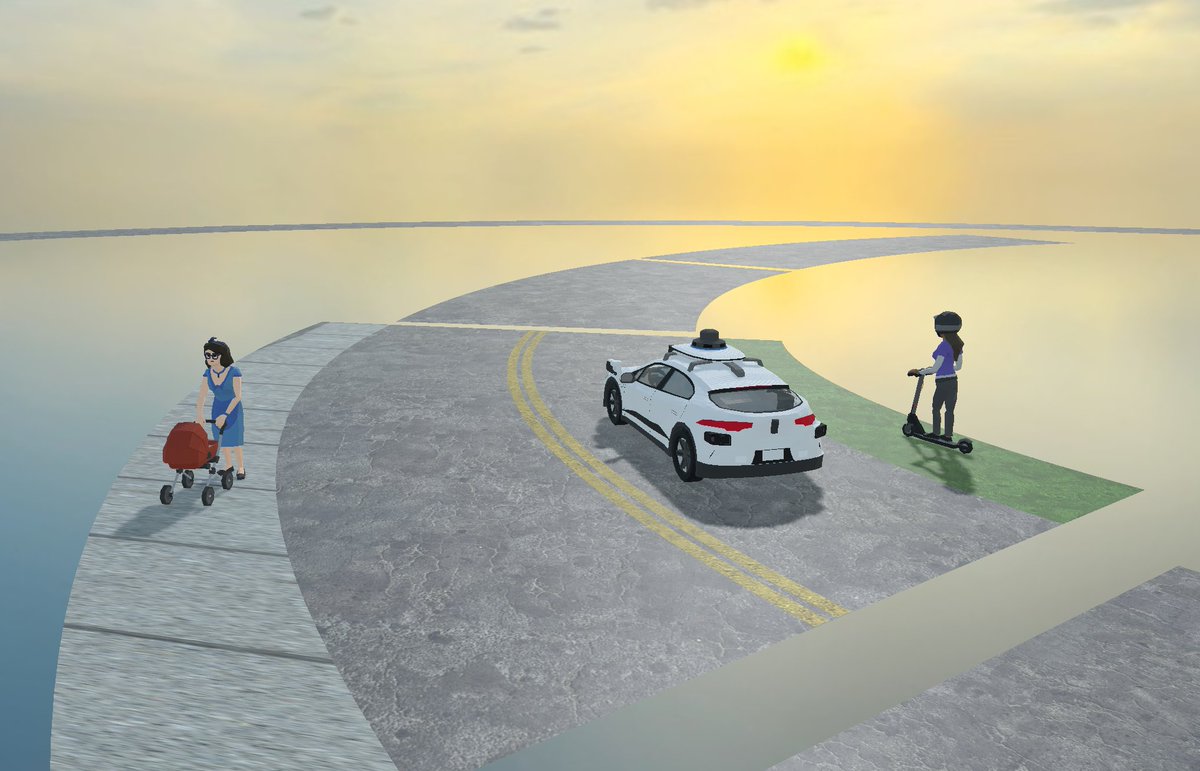
24/31: Thank you John from @bcgp for sharing your experiments with using rings and arc geometry primitives for created curved street designs with @3dstreetapp. It's fun and rewarding to see the spirit of open-source collaboration used for safer street visualizations!
23/31: By popular demand from TikTok viewers, here's a street-level look at the family zoning visualization, generated with @EcoMunsing's Cityscaper and visualized in @3dstreetapp.
Visualizing a San Francisco Family Zoning scenario in the Richmond District 20 years from now with @3dstreetapp and @EcoMunsing's CityScape.
Links:
3DStreet: https://t.co/N69hxPtPrs
Cityscaper: https://t.co/wcVjQiaXz4
SF Family Zoning info: https://t.co/SpK3PKotuU
Family zoning is coming to SF -- we visualized 20 years of development in Duboce Triangle using @EcoMunsing's Cityscaper + @3dstreetapp
Each parcel has a probability of developing under the new rules. The tool simulates which get built & how tall, then we rendered it in 3D.