"Interactive Images in StoryMaps" updated with instructions for ArcGIS Image for ArcGIS Online. No longer need to know ArcGIS Pro; Map Viewer and StoryMaps skills are enough! https://t.co/JswLMahj3x @ArcGISStoryMaps @ArcGISOnline #StoryMaps#ArcGISImageforArcGISOnline
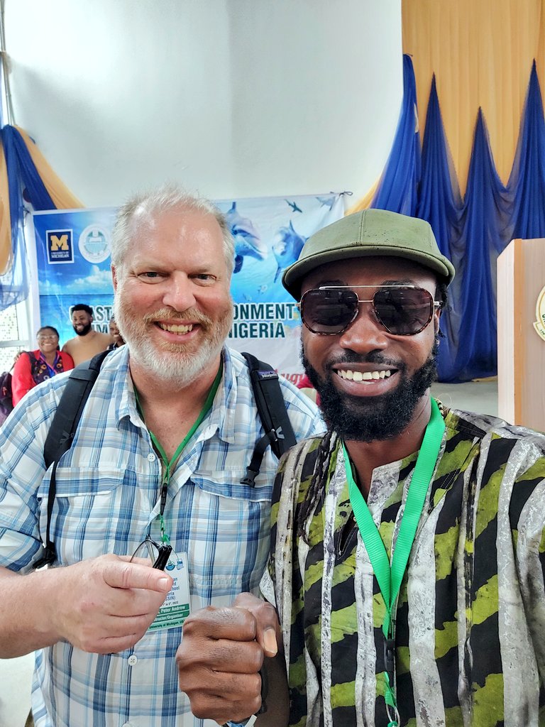
Inspired by testimonials from #COESSING participants of various career stages. We achieve so much together across nations, fields, backgrounds, generations. More motivation to continue growing support 🌊
#SDGs#oceanscience#BIMS
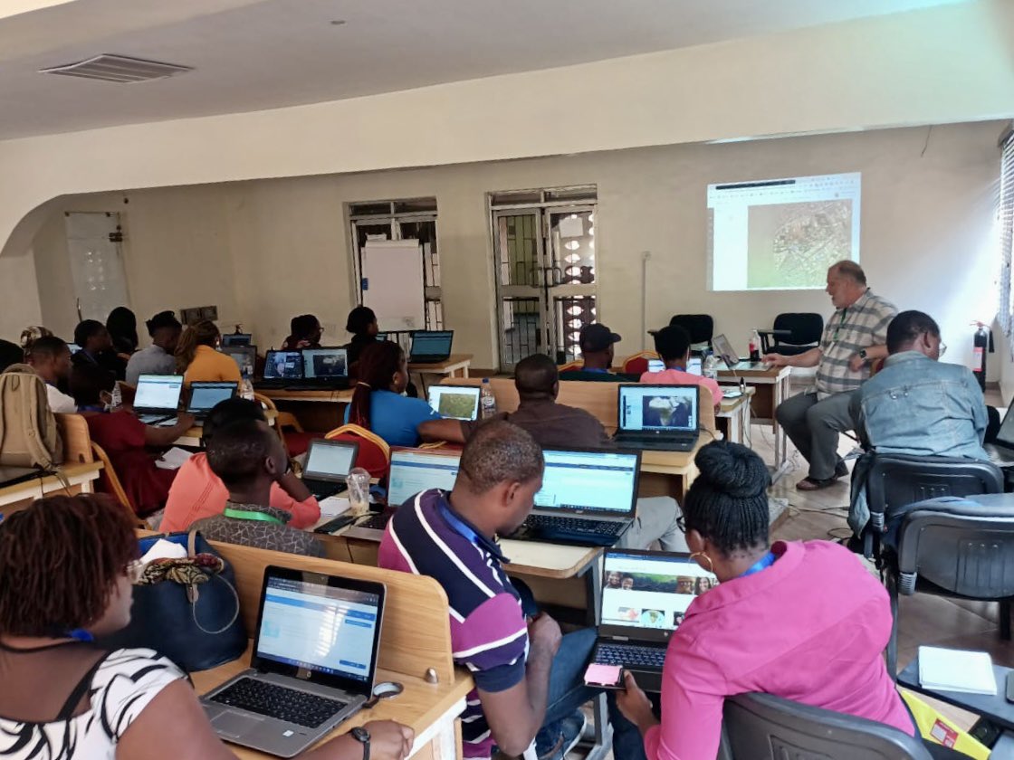
Excited to share the power of #GIS via the #AfricaGeoPortal with participants in the Coastal Ocean Environment Summer School in Nigeria and Ghana #COESSING @ArcGISOnline
@ArcGISOnline Map Viewer is awesome! Looking forward to analytic capabilities soon! ... but after that... before it becomes ArcGIS Pro on the web, and complicated, but powerful... can you fork a Map Viewer Basic version? Something for the non-GIS geeks to continue using?
@bernszukalski@GIS4Schools Love that you can now create hosted feature layers with multiple layers in ArcGIS Online! Great for initiating read-to-go, collaborative projects you want to host on ArcGIS Online; skips the need in many cases for initial setup in and sharing from Pro.
Attention @umichLSA faculty and researchers! Off-the-shelf software falling short when it comes to features you need? LSA Technology Services' Research Software Programming service can help. Find out how at https://t.co/goIXPNSGT0!
Need your #ArcGIS#JavaScript#app timeslider to show data on a time-scale older than 1900, like historic (BCE/CE) or geologic (ka, Ma, Ga, ...)? https://t.co/jqQimh3Oej ... @ArcGISJSAPI
@Nespresso@lojicmaps Congratulations to The University of Michigan (@umich) for receiving the President's Award for its university-wide implementation of #GIS. Becoming a model for the higher education community in how to become a true geospatial university. https://t.co/6rmNvoZwq5 #EsriUC 👏
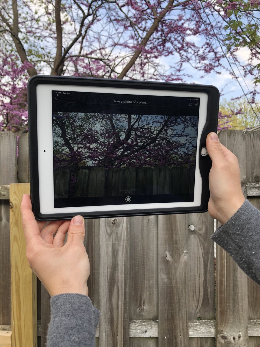
Save time, empower citizen science projects, and more... use AI and your mobile device's camera to auto-populate survey answers. Join us this Wednesday, 1-2:30pm, for an ArcGIS Survey123 workshop: https://t.co/MCCIUOneAA
@maphewyk You can also programmatically work with a StoryMaps JSON and related resources, such as image files uploaded to the story, using the ArcGIS API for Python. For example, get_data() and resources (https://t.co/4AYHHZ2P3T and https://t.co/ebv7pFz7BC)