The Louisville/Jefferson County Information Consortium (LOJIC) is a GIS between multiple agencies. It is Louisville's GIS serving the Louisville Metro Area.
New GIS job posted:
* GIS and Data Instructional Technologist ~ Wellesley, MA USA
For information about this and other GIS jobs visit:
https://t.co/IWM4JjPW4T
LOJIC is hiring! If you have a strong IT background and GIS knowledge, come work with us.
Louisville, KY LOJIC Systems Administrator I/II/III (GIS) (IT Infrastructure Engineer I/II/III) Grade 17/19/21 https://t.co/qkFMg21PZy @GovernmentJobs
Next week: MOOC #5 of 2020 starts. Learn spatial analysis using #ArcGIS Online. Join us! MOOCs are always free & always fun. Sign up at https://t.co/M3pZErMvDq.
A Kentucky dashboard, made possible by state agency collaboration, tracks unemployment rates and economic vulnerability down to the county level @DataSmartCities https://t.co/POArzN3B1I
It’s official, our Geo Apps #MOOC is open! Are you ready to get started with #ArcGIS apps, including ArcGIS Survey123, ArcGIS StoryMaps, and ArcGIS Experience Builder? There’s still time to join: https://t.co/7Db9PFUMEQ #letthelearninggamesbegin
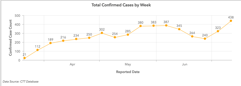
Have you checked out Louisville's new COVID-19 Dashboard?
This new dashboard gives everyone in our community a way to see the current status of COVID-19 cases, deaths, cases by residential ZIP Code...
The new dashboard can be viewed at https://t.co/lHveb6dPMe.
This year the Spatial Data Science Conference will be available to our largest audience ever! #SDSC20 will be a free virtual conference taking place between October 19th & 23rd 💥
Find out more in our blog post! https://t.co/SWpP4zVnTD
Congratulations to Louisville Metro Government on their Esri Special Achievement in GIS award. They certainly deserve this honor.
https://t.co/sVTzKnX1t6
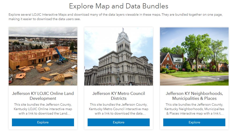
Explore Map and Data Bundles in the LOJIC Open Data portal https://t.co/PP0dIludva Scroll down to view maps and download the data featured in the maps. #LouisvilleGIS
Our Metro GIS team received an ESRI Special Achievement in GIS (SAG) Award for 2020! We really appreciate the hard work put into elevating the usage of GIS in Louisville Metro Government for the benefit of our residents!
KY From Above "commercial" (faux-mercial?).
I had an idea for an animation using contour lines and I had some KY From Above data onhand, so I ended up making a short "ad" for the data source that I use often.
#arcgis#arcgispro#blender#kyfromabove#kentucky @KyGeoNet