Off to #FOSS4G Firenze by way of Rotterdam, Brussels, Paris, and Torino. Haha getting those Interrail vibes from another life. Also first time and don't know anyone, let me know if you want to hang out. Doing a short talk on @geofolio on Wednesday 4.45 PM https://t.co/NHhl2L0rpZ
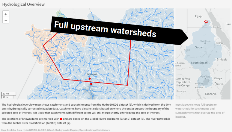
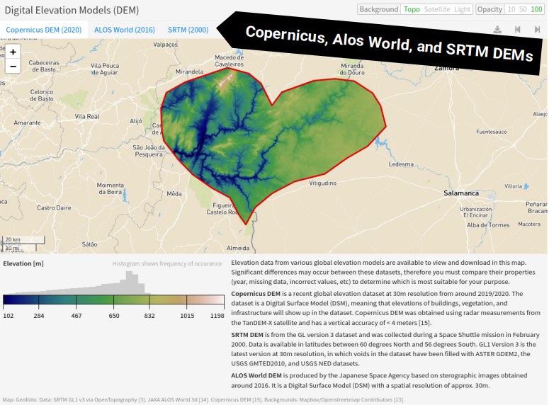
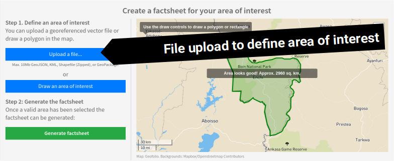
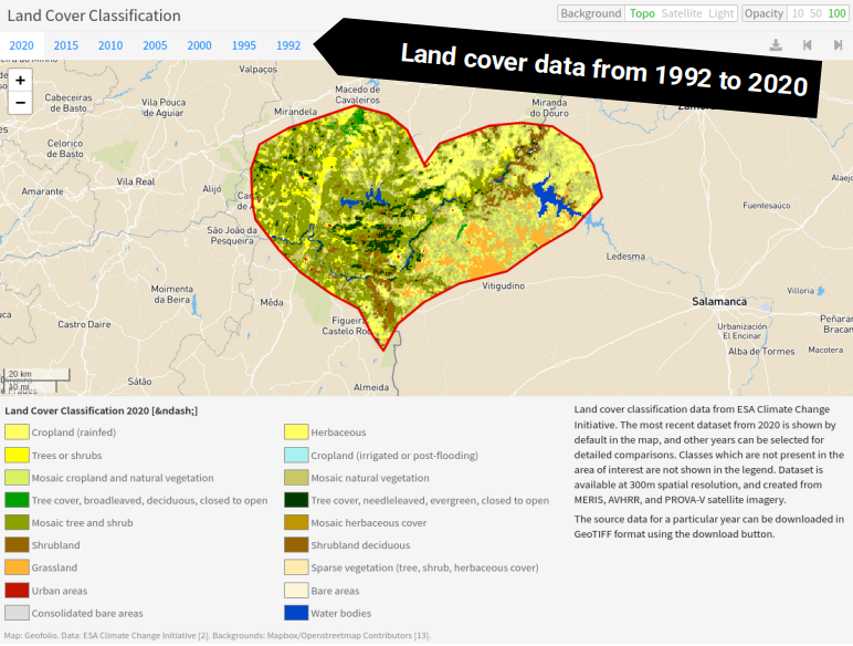
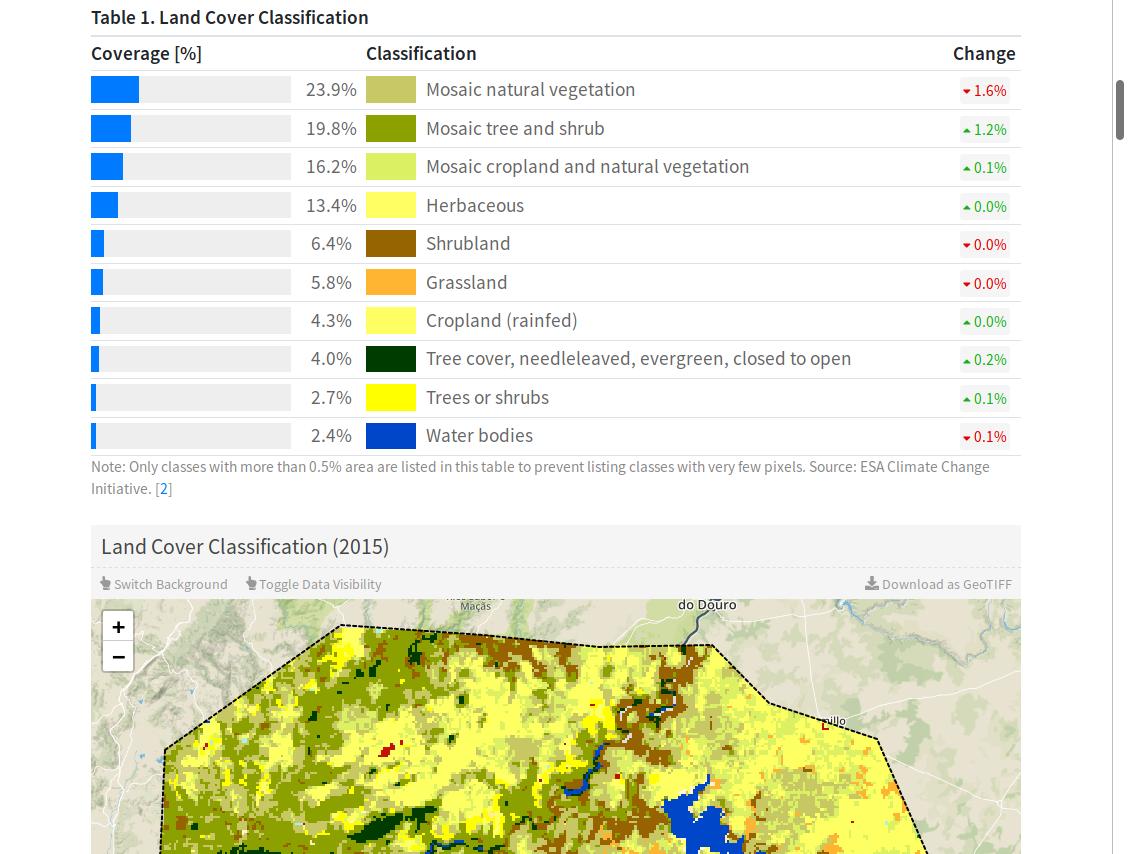
Lots of Geofolio updates: File upload to define an area of interest, more landcover data from 1992-2000, upstream watersheds in the hydrology section, and Copernicus DEM is now the default DEM, with SRTM and Alos World also available! Try it at https://t.co/ZHsZRamj1u
Also the FTP site has lots of duplicated tiles because it's ordered by country. So the tile Copernicus_DSM_10_N50_00_E006_00_DEM is in there 4 times because it intersects NL, BE, DE, and LUX. 🥳
Anyone having better luck with the new Copernicus DEM? It looks GREAT but data accessibility... oh dear. Took a good hour to register and get things to even work, then the bulk FTP download is zipped GTiff without any tiling, compression, etc. Crying some cloud optimized tears!😭
@hireuter @_VincentS_ Thanks, that's already a lot easier to access and much bigger tiles. For the data hoarders this might be helpful: https://t.co/wf6accxxWl
OpenStreetMap is now at the center of a truly incredible alliance of the biggest companies on earth, and I'm surprised by how little attention it's getting. So I wrote it up! https://t.co/kBwfApH1Cp
@TarasNovak@geofolio Yes that's been way too silent unfortunately. Still on it though, reworking some internals and hopefully some put out some new features before the end of the year. Blaming the inactivity on the natural enemies of side projects: day jobs, family expansions and the like 😆
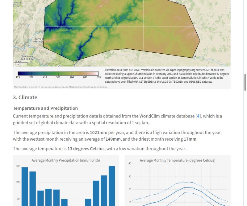
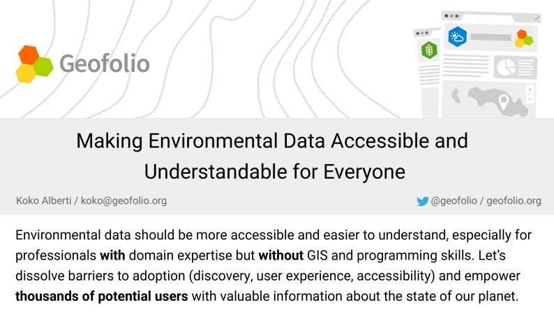
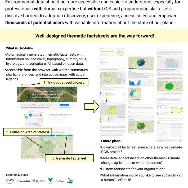
Been working on this thing called @geofolio! ✨ Create interactive thematic factsheets for any place on Earth. Based on open geodata, with lots of maps, charts, and downloads. Try it out at https://t.co/06Ep0SB6g7.
New @flatgeobuf vector format by @bjornharrtell looks completely awesome for hosting a bunch of huge vector files on object storage (S3 etc.) and reading only the bits you need with GDAL/OGR and HTTP range requests. Super happy with this!
@pheeelicks Glad you liked it. Was just looking at some of your projects... nice thing about geoinformatics is that it can useful in so many different fields. Always fun to see someone else apply the same concepts to a different context.
@GeoSkeptic@map_andrew@USGS_EROS Re the 80/20 slide: the level of technical skill and expertise required to even be able to do the silly things in the 80% category also mean that a huge amount of potential users don't become actual users. #STAC and #COGS will be a huge improvement from this point of view too.
Tomorrow (Oct 10) I'll be at @NLSpaceOffice Earth Observation, Science & Society Symposium in The Hague peddling a @geofolio poster. Try it out at https://t.co/3nZumMv6lD and come have a chat if you're interested! #eo3s
@NRamankutty Thanks for the kind words. I think there's a lot of people working with/caring about the environment that could use this type of information & data, but that we lose when we put it all in data portals and complicated GIS formats. Hope it's a small step in the other direction.
@JakobMiksch@geofolio@whisperingpixel@k4ri_k @LightOnEU Haha nice, well done. And more proof that no matter what you think you're never the first one to think of an idea!😄 Still surprises me that there isn't something like this out there yet in a more established/bigger project.
Introducing GEOFOLIO ✨ Create interactive thematic factsheets for any place on Earth. Based on open (geo)data, with lots of maps, charts, and downloads. Side project by @kokoalberti, try it out at https://t.co/ZHsZRamj1u.
@AfonsoD3v Depends what you're compressing. Imagery: JPEG in YCBCR colorspace is lossy (https://t.co/0yGJZEHB8a) but compresses well, or WEBP for lossless. Data: LZW/DEFLATE are pretty good all around. If compression ratio is not critical you can speed stuff for DEFLATE with ZLEVEL=1.