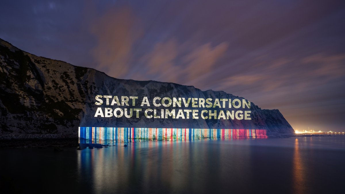
BREAKING: the White Cliffs of Dover have been illuminated with the UK 'warming stripes' for #ShowYourStripes day!
These stripes represent the UK average temperature from 1884 to 2022 with blue colours for colder years and red colours for hotter years.
https://t.co/LW5Kgrr8w3
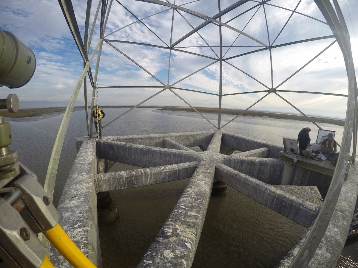
NOAA has been measuring sea levels for 150 years using a national network of tide gauges. These measurements are used to generate relative sea level trends, which show us changes along the coast over time. View trends for a US location: https://t.co/lJIzPzXyUz @COP26
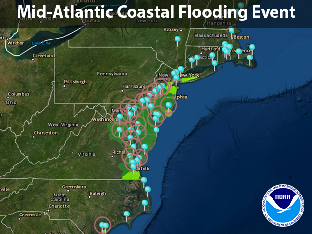
NOAA is monitoring water levels and winds for the significant coastal flooding event unfolding across the Mid-Atlantic region. Water levels are presently measuring 1-4 feet above normal tide levels and are expected to remain elevated through Saturday: https://t.co/IZhflyXpJg.
Entire coastal region from SE Virginia to northern New Jersey facing moderate to major coastal flooding from eastern storm. Strong easterly winds, King Tides + climate change raising water to highest levels in 10-20 years in some locales. Details: https://t.co/UAIrtkhVKA
For the first time, NOAA is launching a national rip current forecast model, aimed at saving lives of beach-goers around the country: https://t.co/vfZZ50eS6d #RipTides#BeachSafety@NWS
Preliminary NWS Tornado damage survey revealed a tornadic storm near Whitsett, NC near the Guilford and Alamance county line. The tornado was on the ground intermittently for approximately 5 min. Additional investigation will take place through the day today into tomorrow. #NCwx
Today is the International Day of Women and Girls in Science. Female ocean scientists have been making waves at NOAA for more than 150 years. Learn about some of them here: https://t.co/uSNksE9v6z #WomenInScience
NOAA is monitoring water levels and winds for Hurricane Delta, expected to make landfall along the central Gulf Coast late Friday. View real-time water level and meteorological data.
https://t.co/n0frDpFBl7
As Hurricane Laura made landfall, water levels at the NOAA tide station in Calcasieu Pass peaked at 9.19 ft over normal high tide. This is just shy of peak water levels observed during Hurricane Ike (2008). More water level data: https://t.co/lPKdy2Muod
Watching water levels rise & winds increase rapidly at our gulf coast stations as #HurricaneLaura approaches landfall #NOAA#NOS https://t.co/kR2BK4rz0p
Water levels from Galveston Bay, Texas to Mobile Bay Alabama are rising in advance of Hurricane Laura's landfall. View real-time water level and meteorological data at: https://t.co/lPKdy2Muod
NOAA released an outlook this week on coastal flooding & tools to help communities plan for the future #coastalflooding#NOAA https://t.co/GuddgpATBW
Higher than normal tides are expected May 6-10 in many regions of the nation. Find out why tides will be higher than normal with our High Tide Bulletin: https://t.co/bZhIpPqddC