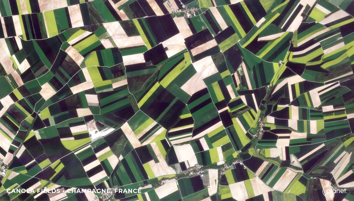
Today, through the #RapidAi4EO consortium, we released one of the largest Earth observation training datasets for #ML applications via @OurRadiantEarth.
The data covers 500,000 locations across Europe, captured every five days over two years. Learn more: https://t.co/wqaqtwsesB
🆕Upgrade your #ML skills w/ #RapidAI4EO! This #TrainingDataset has 500K locs across Europe, Sentinel2 mosaics & cloud-free @Planet data. It’s the largest collection of multimodal time series satellite imagery for various applications.
🙏🏽 Funded by 🇪🇺
🔗 https://t.co/RSAJqJxO5e
Job alert! We’re recruiting a *spatial scientist* with R and GIS skills to work on land use/climate change/biodiversity projects - apply by 24 July #gis#hiring#R#Forestry@FR_LUES
https://t.co/U93rbE1bgi
Today we are proud to announce Dynamic World, the first near real-time global 10m land cover dataset, with @WorldResources, to quantify planetary changes and take action. Powered by @Google#EarthEngine + AI + daily @ESA_EO Sentinel-2 data.
Learn more → https://t.co/9iVvBOqI4i
Here we are! The official launch... welcome to a new community, associated with @SistersofSAR and @LadiesOfLandsat. It's just a one woman band at the moment, so please join, RT, DM and we can build this community together...
We are pleased to announce the release of RSGISLib V5, available on the conda-forge channel and at https://t.co/K3BNpFPnLE
Release notes are here (https://t.co/xeTzC83agy) but below is a 🧵 of the highlights:
#python#opensource#geospatial#remotesensing#GIS#EOchat
🗺️ Maps revealing areas of the world’s forests which have substantively changed over the past decade have been published through a @esa project that is managed and coordinated by @AberUni 🗺️ #climatechange
🖱️🗞️ Full story: https://t.co/5oNvmnWChH
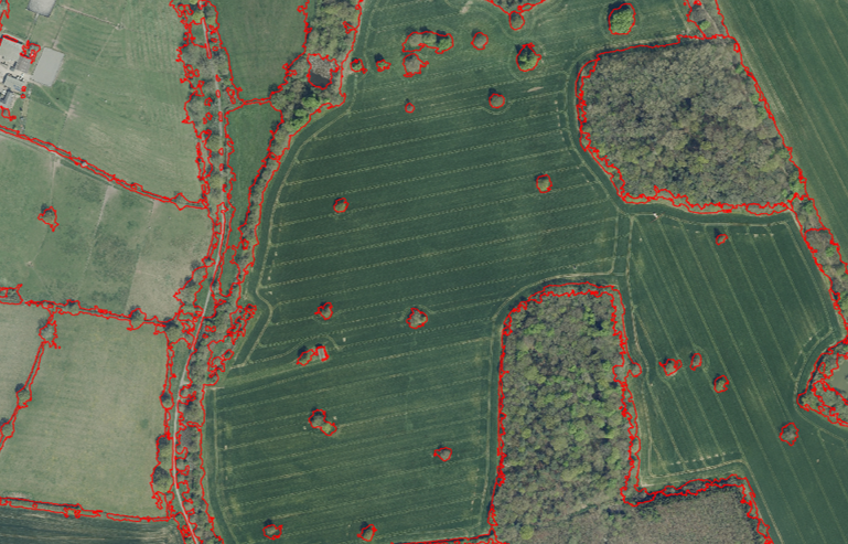
(2) Staff in @scotforestry's GIS team have worked with @Forest_Research to produce an interactive mapping tool for woodland owners. It gives initial location on the damage via satellite information. Access it here: https://t.co/e2eqE2xodQ #StormArwen https://t.co/0HCfgW0y8X
@lwhemmings Follow @Forest_Research for notifications, the next one is on January 14th on Enhancing the resilience of our trees, woodlands and forests: a framework for implementation
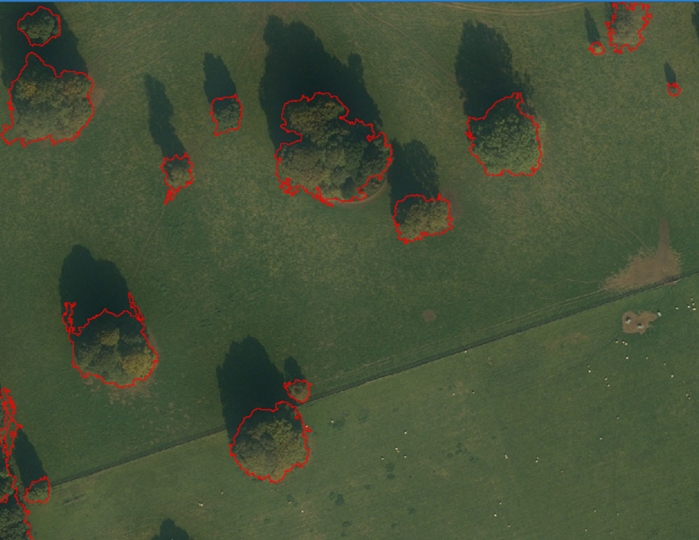
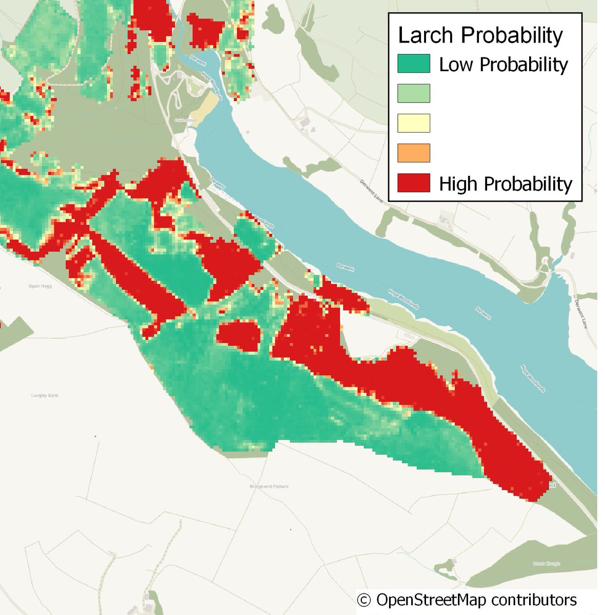
Interested in woodland loss, species mapping or remote sensing in forestry? Check out the recording of our seminar: A remotely sensible idea? The use of satellite imagery in forestry in Great Britain 👀🛰🌳 #forest#woodland#forestry#remotesensing#earthobservation#EO#trees
Want to know more about the use of satellite imagery in forestry in Great Britain?
The recording of our Forest Science Seminar is now available https://t.co/0NhiGwsM97
#ForestScanner RELEASED!
ForestScanner, an iPhone/iPad application for LiDAR-baed tree measurement, is now available at the App Store for FREE!
Developed in collaboration with @yamaguchi_mapry
Want to know more about the use of satellite imagery in forestry in Great Britain? Join our online seminar on 10 December explaining how sensing technology is being used by foresters to understand woodland loss and to support tree health monitoring.
https://t.co/5saYK4Tcyl
...to my PhD research @AberUni@AU_EarthObs funded with @KESS_Aber developing automated land cover change detection approaches - the video is of forest loss and regrowth in central Wales between 1990 and 2017