Applications are open.
Three @MastNode devices will be sent to operators with the strongest locations for both AIS coverage and GNSS data.
The ideal deployment:
→ Near a coast, harbor, marina, river, or busy waterway
→ Clear sky view for GNSS
→ Clear line of sight for AIS
→ Reliable power and internet
→ Installed within 21 days
→ Operated for the long term
Selected hosts can earn from @onocoyRTK and, following mainnet activation, MastChain.
Apply by July 24, 23:59 CEST:
https://t.co/lM3dh0BapN
Winners announced July 31.
Selection is based on deployment quality, not chance.
Good operators need good hardware.
Good networks need good locations.
Tomorrow, we open applications for the MastChain x @onocoyRTK Dual-Mining Host Program.
Three @MastNode devices.
Three hosts.
Details drop July 8.
Applications are open: onocoy × @MastChain_DePIN Dual-Mining Host Program 🛰️⚓
Three free @MastNode devices will be sent to three hosts who have the strongest deployment locations for both maritime AIS data (MastChain) and GNSS reference data (onocoy). One device, two DePIN networks, one rooftop that serves both.
Once installed, your MastNode captures maritime AIS data for MastChain and GNSS reference data for onocoy at the same time. Two networks, two reward streams, one install.
Why join
→ Free hardware; shipped to you, nothing to buy
→ Dual-mining; one device earns across two networks
→ Ground-floor access to two growing DePIN ecosystems
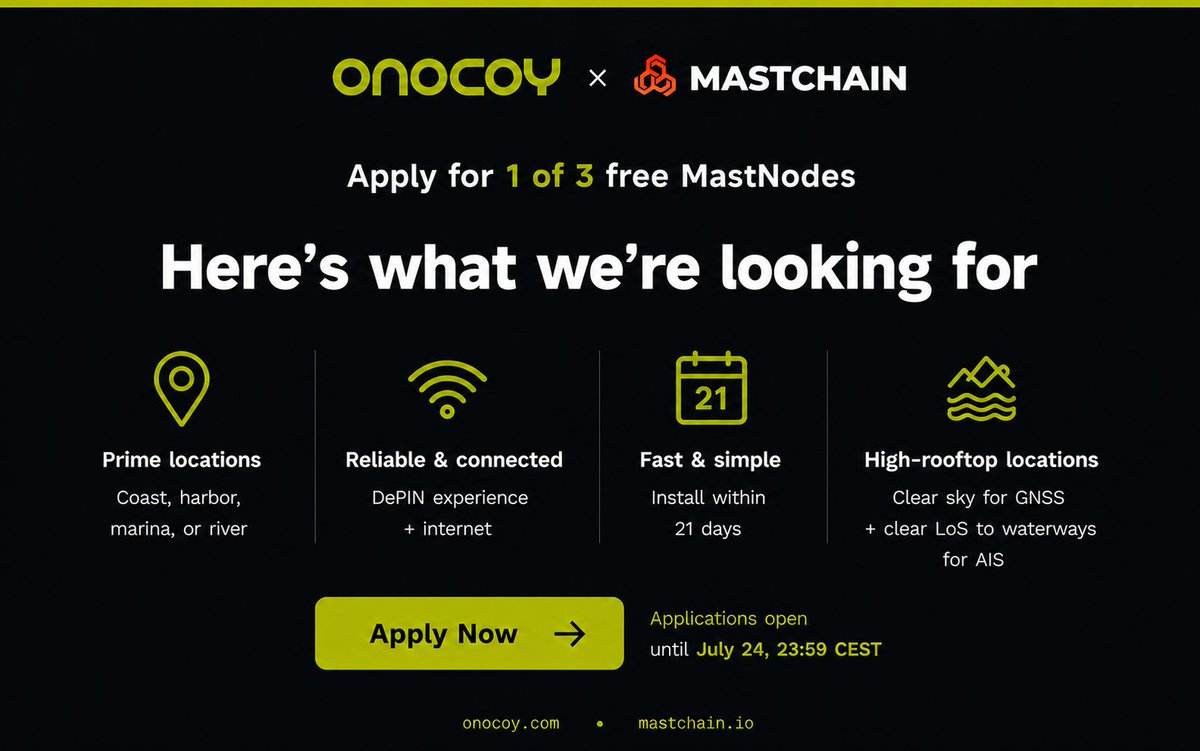
What we look for
→ Coast, harbor, marina, river, or high-rooftop locations
→ Clear sky for GNSS + clear line of sight to waterways for AIS
→ DePIN experience, reliable power + internet
→ Install within 21 days of receipt
How to apply
Form: https://t.co/KD8x4BJvtc
Deadline: July 24, 23:59 CEST · Winners announced July 31
Selection is qualitative, based on deployment quality, not chance.
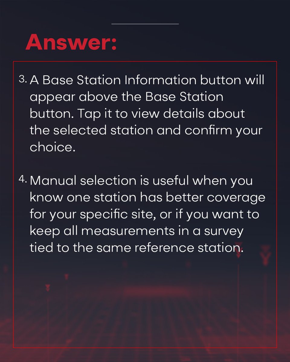
GEO-MEASURE auto-connects to the best base station for you, but sometimes you need to take the wheel yourself.
In Question 19, we break down why auto-select is usually the right call, how to manually pick a station right from the Map page, and why locking in the same reference station matters for consistent surveys.
Read on for the answers. 👇
Grass is releasing an in-app non-custodial wallet.
Every Grass account will include a wallet, built right into the app. No separate app to download, no extra setup.
Once released, you will be able to hold, send, and receive digital assets (including GRASS), and convert and withdraw funds to your debit account, Venmo or PayPal via MoonPay.
You stay in control: your wallet is secured by a passkey you create (like Face ID or a fingerprint) or email OTP. Grass has no access to your private keys. You can export your private key or secret phrase at any time.
This feature is set to release in mid-July, updates will be provided closer to the date.
Stay safe: only ever access your wallet through the official Grass Dashboard. Grass will never DM you first or ask for your passkey, recovery details, or private keys.
For robots to effeciently share spatial knowledge, their spatial memories must be anchored absolutely. @GEODNET
The robot network effect gonna be insane.
Proud of this one.
We just raised $15M to build American-made chips for drones and robotics.
For too long, the systems powering critical infrastructure have depended on fragile, foreign supply chains. We're rebuilding that foundation here in the U.S.
A lot more to come!
The countdown is ON.
March 10, GEO-SWARM hits Kickstarter.
A fully autonomous, drone-in-a-box security system:
Deploys. Patrols. Returns. Recharges.
Powered by @GEODNET for true centimeter-level precision.
Last chance to lock in the exclusive pre-launch discount before we go live 👇🏻
Hi @VitalikButerin, @geodnet has said this before, and along with @ROVR_Network has the tech to deliver.
My March Physical AI podcast highlights how web3 enables a safe and fair robotic future with Privacy, Verifiable Regulation, and Open Source
https://t.co/YuvuXlTiPF