Cheaper than a latte, smarter than checking the sky and hoping for the best. ☕⛈️ RadarOmega is $4.99 through December—get live radar, storm alerts & actual peace of mind. Your future self will thank you. 🎄📱
Download RadarOmega today: https://t.co/tCTa3zMyUH
🌨️Storm chasers are live in the app across parts of northern Indiana this morning where Winter Storm Warnings are in effect!
Bands of intense lake effect snow are expected tonight into Monday. #INwx@cyclonePORT
There is a good chance this band of snow tonight into tomorrow will be some of the heaviest snowfall to ever occur in the Chicagoland area. Snowfall rates of 3-6 inches per hour, frequent thundersnow, and even hail will occur in this band. While the snowband may only stay over one area for a few hours, due to the intensity of the snowfall rates, it will only take a few hours to rack up 8+ inches of snow. If the band stalls over any one area for more than a few hours the snowfall will be measured in multiple feet. The NWS highlights the concern for stalled and stranded traffic early monday morning inside the band. I will be live on YouTube (Connor Croff) and in the Radar Omega app beginning in just a few hours with all night coverage tonight. @MaxVelocityWX@RadarOmega
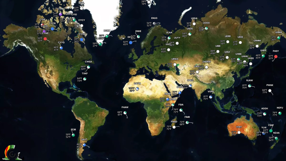
NEW for all users: Global METAR data! 🌎
View METAR data worldwide with an updated user interface, including improved detailed display icons and a brand-new vertical sky cover visualization chart. Only in RadarOmega!
Storm chaser Connor Croff (@ChasingWConnor) just witnessed a tornado crossing the highway west of Brookhaven, MS.
PDS Tornado Warning including Hazlehurst MS, Wesson MS, and Beauregard MS until 4:45 PM CST #MSwx