🚨 A Travel Advisory remains in effect for New York City.
A major storm will impact our city tonight into Monday afternoon, with strong winds, heavy rain, and widespread moderate coastal flooding.
📲Updates: https://t.co/mnq2tTuGj5
Current radar:
At 8 pm Monday the central pressure of Hurricane Ian was down to 965 mb/28.50" with max sustained winds of 100 mph. Ian was located 130 mi SE of the western tip of Cuba & was moving to the NNW at 13 mph. Here is the full radar view of Ian tracking south, then west of Grand Cayman
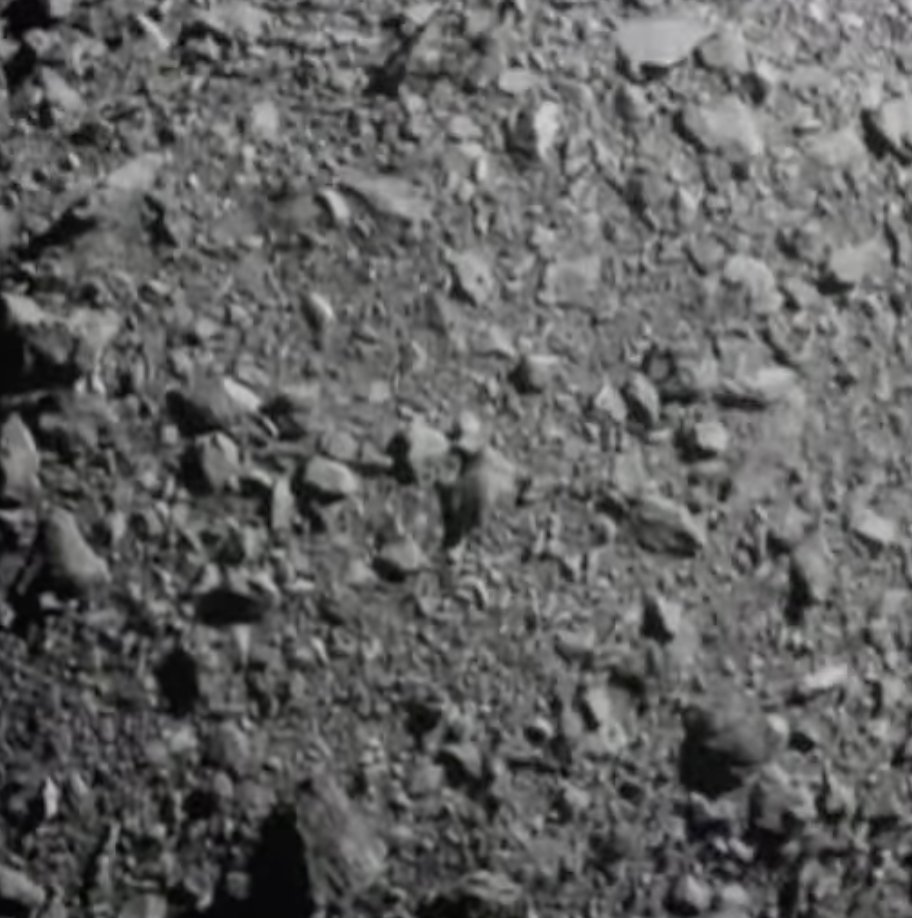
For the dinosaurs! The Double Asteroid Redirection Test (DART) mission just smashed into the asteroid moonlet Dimorphos and planetary defense will never be the same.
Here are the last images that #DARTMission took before impact: https://t.co/YpmHE1tG1L
🛰️ This is only a test – of planetary defense. Today, our #DARTMission is set to crash into a non-hazardous asteroid to test deflection technology, should we ever discover a threat.
Impact: 7:14pm ET (23:14 UTC). Watch our LIVE broadcast at 6pm ET: https://t.co/VAfF5ZXcYB
Tropical Storm #Ian is forecast to begin to rapidly strengthen later today. Ian is expected to be a major hurricane in the eastern Gulf of Mexico during the middle of the week, but uncertainty in the
long-term track and intensity forecasts is higher than usual.
A slight risk of severe thunderstorms continues for late afternoon into this evening. Storms in southern PA early this afternoon could skirt the NYC metro area after about 4-5 PM. Additional storms developing in NE Ohio and NW PA could reach the area after 6 PM.
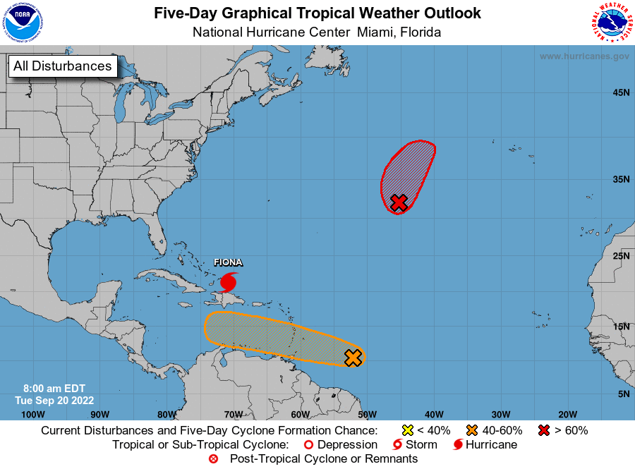
8 AM EDT Tue: We are watching 2 disturbances in the basin. In the N central Atlantic, a low has a high (80%) chance of formation in 2 days. Near the Windward Islands, a wave has a low chance (10%) of formation in 2 days and medium chance (50%) in 5 days. https://t.co/tW4KeGe9uJ
TJFK - Digital Reflectivity Tilt 1 4:44 AM EDT Digital Velocity Tilt 1 4:44 AM EDT #nywx
Best look at it with JFK tower radar coming towards the airport.
.@NWSNewYorkNY Tornado Warning issued for Brooklyn and Queens: until 5AM on 9/13. Immediately take shelter on lower floors. Stay away from windows. https://t.co/t918yhm4Y7. Multilingual & ASL Link: https://t.co/blJLuS6Wpu.
You can see these little spin ups as they go through Brooklyn.
TJFK - Digital Reflectivity Tilt 1 4:37 AM EDT Digital Velocity Tilt 1 4:37 AM EDT #nywx#njwx
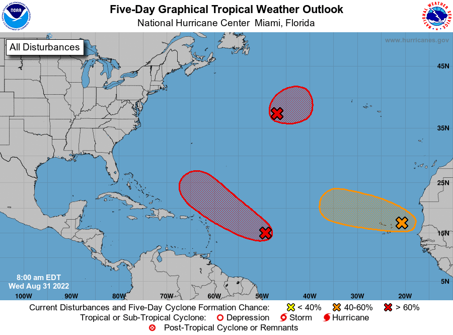
Hurricane season is heating up! NHC is monitoring 3 areas for tropical development during the next 5 days in the Atlantic basin. See here for details: https://t.co/m9946DoYYi
NEW: The results of the New York State English Language Arts (ELA) and Mathematics tests for students in grades 3-8 administered this past spring are now available.
You can access the results through the NYC Schools Account (NYCSA) portal: https://t.co/hyF76GUcpd.
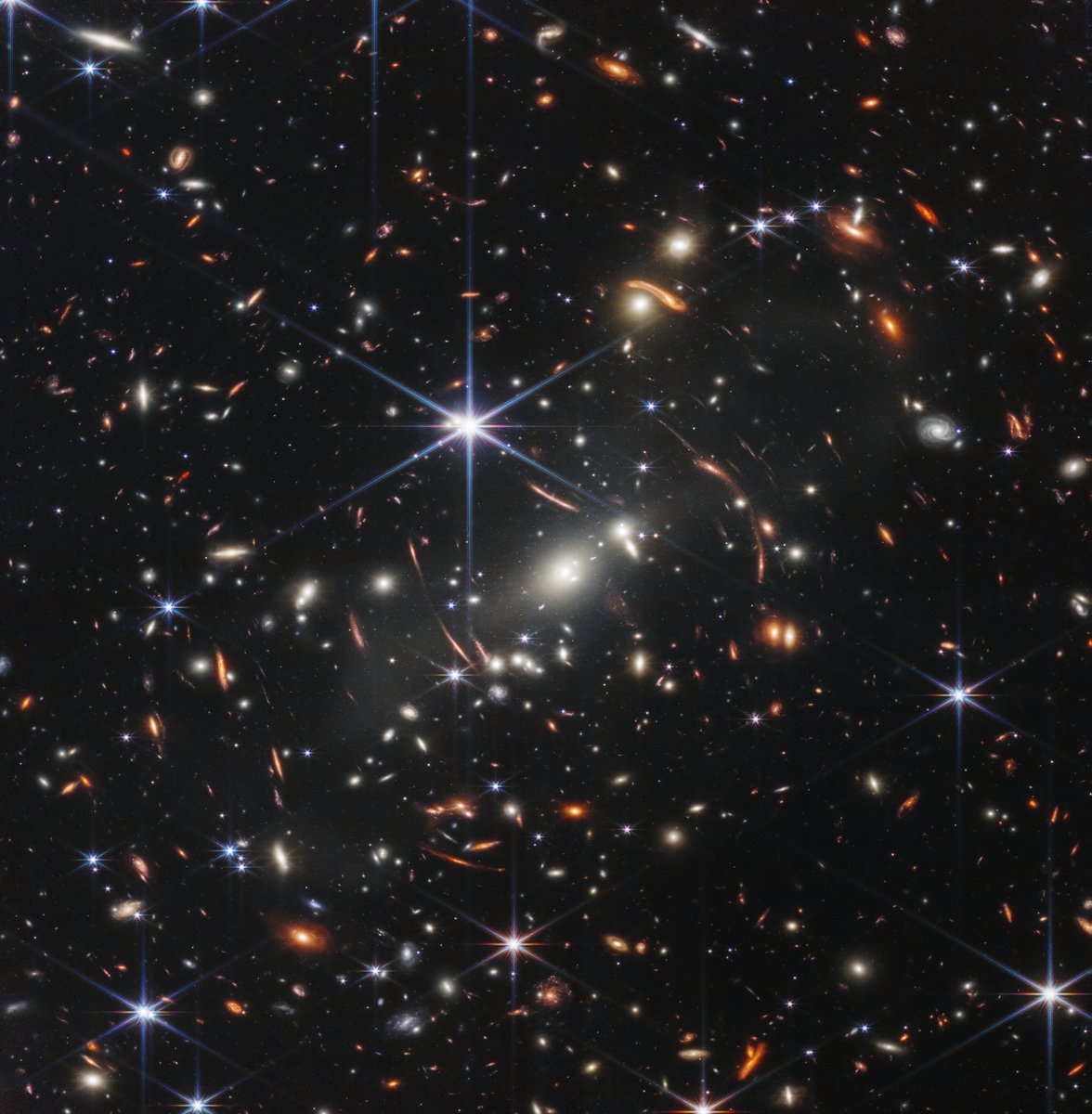
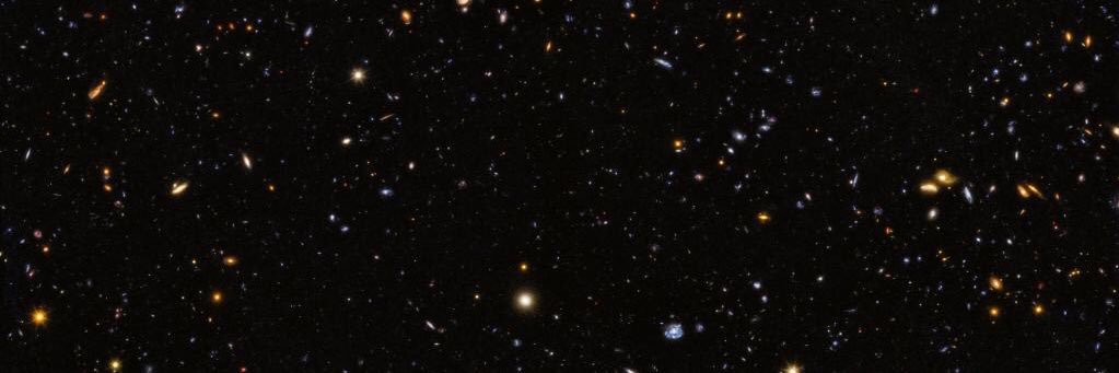
It's here–the deepest, sharpest infrared view of the universe to date: Webb's First Deep Field.
Previewed by @POTUS on July 11, it shows galaxies once invisible to us. The full set of @NASAWebb's first full-color images & data will be revealed July 12: https://t.co/63zxpNDi4I