https://t.co/fFflOgyMIE 101 tutorial was updated,
to become even more simple:
https://t.co/bMrg71LTS1
You only need ~2h, a GPU server and copy/paste skills...
Thanks to @GFDRR for the new training dataset
Worth to mention, that https://t.co/fFflOgyMIE project use now his own self hosted gitea, rather than former Github + PyPi.
US EAR related.
Authentication is based on GitHub credentials, for an easy sign-in.
neat-EO 0.7.4 just released.
Thanks @giteaio team !
@mattdance https://t.co/tdc9592C2R allows you, to do it by yourself.
It clearly been designed for such usages.
You could give a look on the online tutorials...
And if you prefer to contract someone @data_pink can handle it.
Next coming https://t.co/tdc9592C2R presentation @OSS_Paris, December 11, in the #AI main track.
OpenSource #ComputerVision framework for #GeoSpatial Imagery, at scale.
https://t.co/YK9SrE7NXR
See you there !
@zpnca@o_courtin @RoboSatPink 101 Workshop given @foss4g :
https://t.co/q6u0R6GL1Y
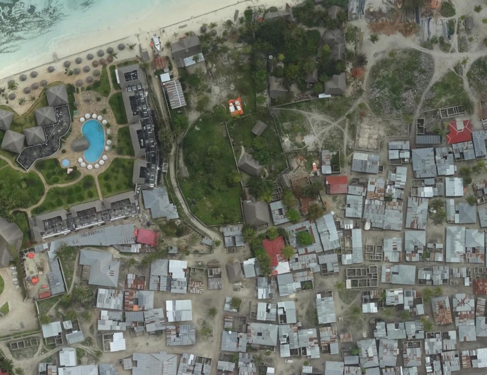
Pictures are dynamic, click on them :
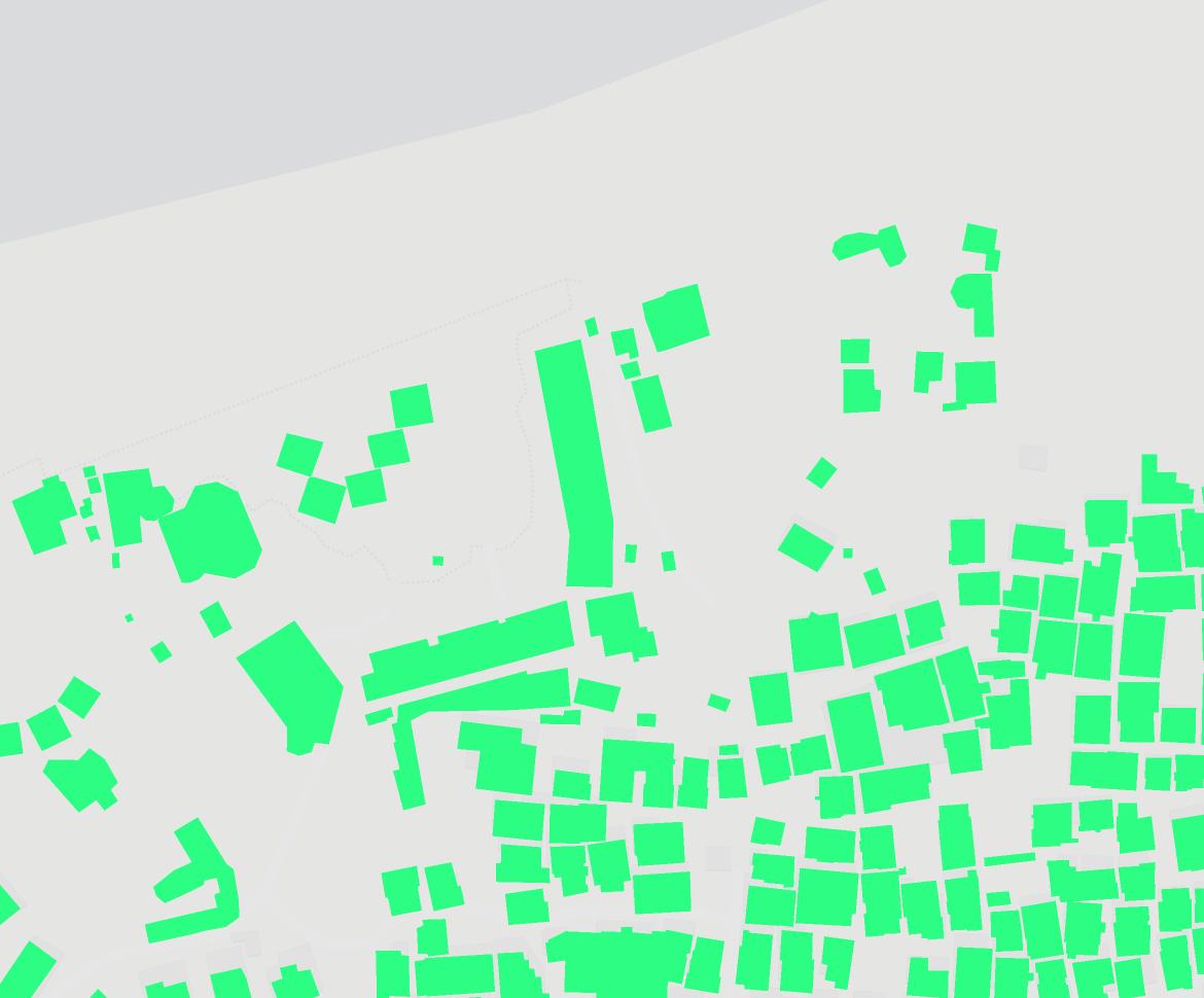
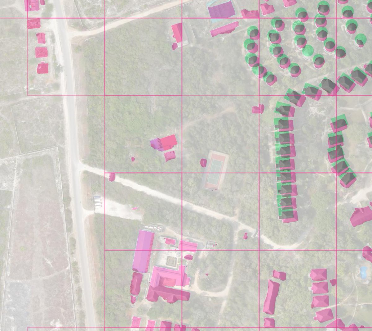
- Pink: predicted by the model
- Green: in labels or OSM
- Grey: both agree
- Pink squares: significant differences between both
Whole stuff took ~1h30 only on a single GPU
@zpnca@CosmiqWorks Yes ability to automagically and statically render each step of the process is that helpful.
About projection, not sure if it was clear enough,
but you can use any projection for inputs (raster or vector).
Just, they will be transparently reprojected in EPSG:3857.
@RoboSatPink @o_courtin Mission accomplished. Successfully trained a building detector with @RoboSatPink. Next step: use #eolearn to prepare/filter Sentinel-2 imagery and labels and use @RoboSatPink to develop forest detector for example. Thanks @o_courtin for excellent tutorial at #foss4g2019 👏👏👏
@mvexel@bhousel @iandees @waldojaquith@mvexel
Don't hesitate to report any documentation lack, from a new user point of view.
Or to use Gitter if you need some assistance: https://t.co/r4RXB9agSV
And FYI there's already a sample Osmium Parking Handler example,
to generate labels from OSM: https://t.co/Ink8l2NXqX
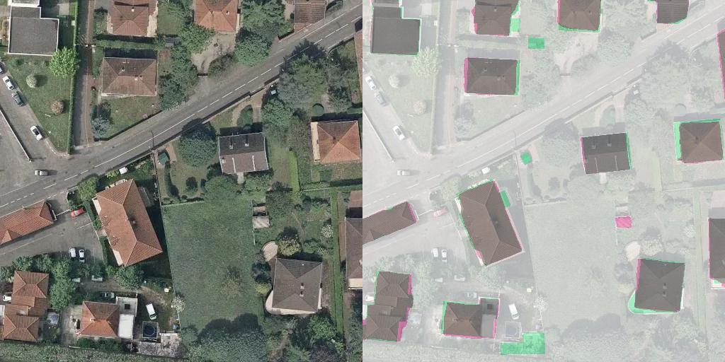
The improved results with latest https://t.co/tdc9592C2R release:
https://t.co/R2mFPpG18R
Pink: predicted by model
Green: in putative labels
Grey: both match
Square: significant differences between both
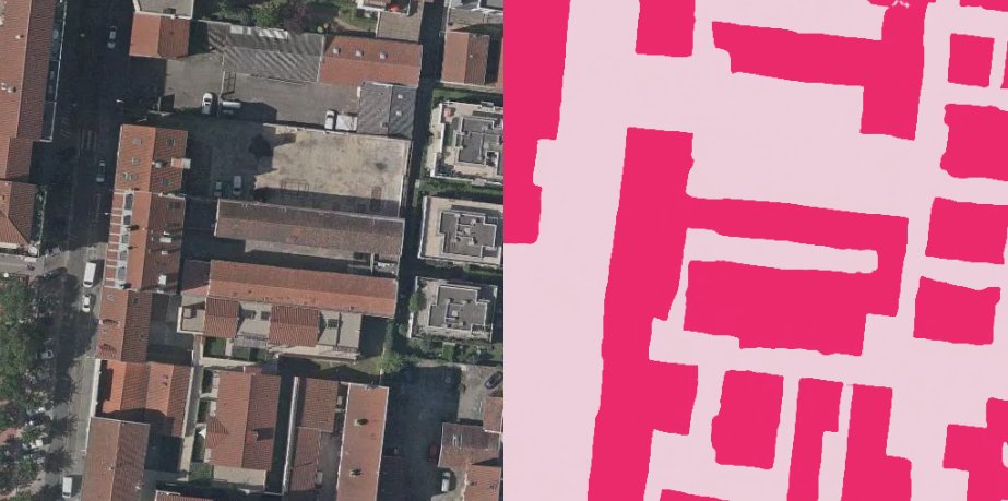
From #OpenData to #OpenDataSet tuto:
https://t.co/SSx3friqVo
https://t.co/tdc9592C2R 0.3.2 release:
- @postgis support for rasterize tool
- MultiBands support for predict tool
- PyPI install: pip install https://t.co/tdc9592C2R
- Latest @pytorch support
- Few BugFixes and refactor
#SemanticSegmentation ecosystem for #GeoSpatial#Imagery
@mouthofmorrison@bhousel@grandlyon I will be, what i will be.
Indeed supervised learning progress is driven by #OpenDataSet availability.
And models, losses and metrics, have to be switchable to allow anyone to use only those he really need, and to bring his owns.
Pre-trained models naturally follows then...