US Drought Monitor 6-1-23:
The proportion of the US and Puerto Rico in moderate drought or worse is down this week to just under 16% of the area.
But abnormally dry conditions – sometimes a precursor to drought – expanded across the Midwest.
Population in drought: 37 million
There's a risk of strong to severe thunderstorms this evening as a cold front slides into northeast Nebraska. Watch out for large hail and damaging winds with any storms. Severe threat decreases after midnight. #newx#iawx
Snow is expected to return to the area Saturday night into Sunday, with amounts topping out at 2 to 3 inches. Areas close to the NE/KS border could also see a glaze of ice as well. Plan on treacherous travel this weekend, and stay safe!
Here's the snowfall forecast for tonight through Saturday afternoon. Snow develops after midnight, and ends 12-3 pm Saturday. 1-4" depending on location, with northeasterly winds 10 to 20 mph. Hazardous travel may develop due to snow covered roads. #newx#iawx
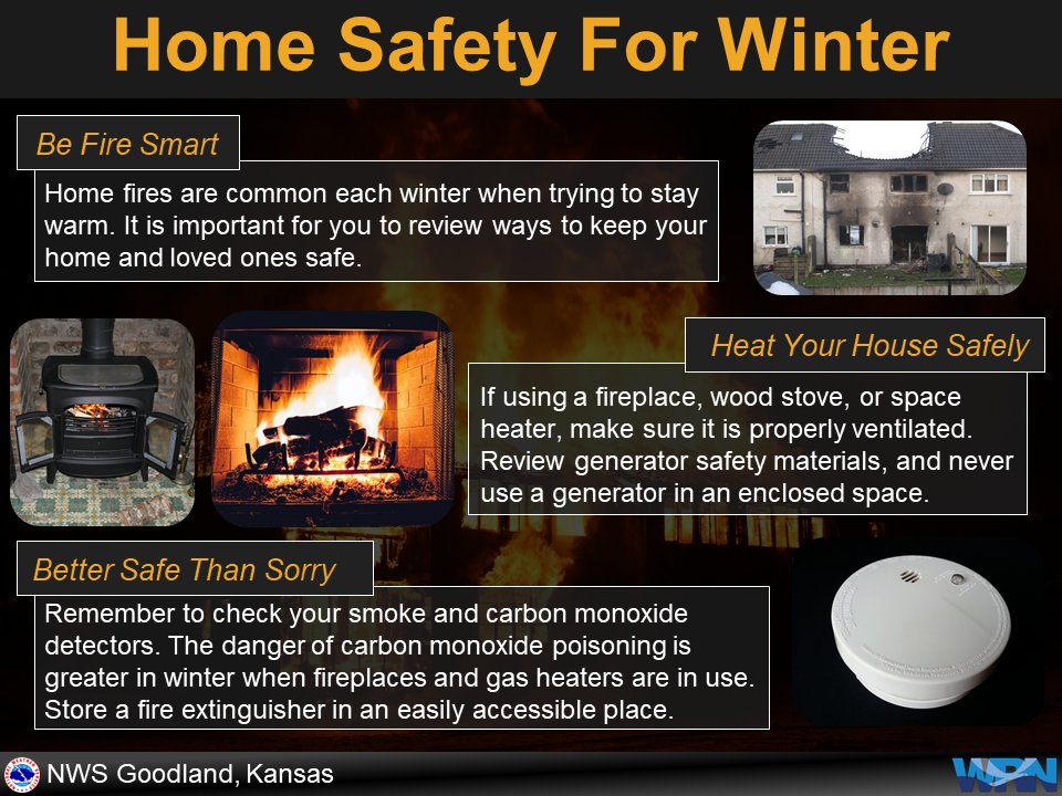
It is always a good idea to prepare before any potential disaster. And you never know when one will hit. Have your home prepared this winter and be mindful of fire hazards.
Central District Health Department reports that as of 4:00 p.m. today, April 25, 2020, the number of positive COVID-19 cases confirmed by laboratory is 866, and there are 24 deaths.
There are 8 cases in Merrick County, 47 cases in Hamilton County and 811 in Hall County.
The next several weeks will be key to slowing the spread of the #COVID19 virus in Nebraska.
We are asking Nebraskans to further limit social interactions. Everyone should work, go home, and shop once a week.
Stay home whenever possible, stay healthy, and stay connected.
Breaking: CDC’s recommendation on use of cloth face coverings, especially in areas of significant community-based transmission of #COVID19. Read more: https://t.co/bihJ3xEM15
The Nebraska Joint Information Center is releasing news releases highlighting information on the state response to COVID-19. The news releases are online at: https://t.co/bIMvGolRMC. To subscribe to the news releases, visit https://t.co/DAZtHKPfSJ.
Strong winds are expected across the area Saturday. Peak wind gusts to around 50 mph are expected. It is possible that even stronger gusts could develop. A wind advisory is in effect for much of eastern Nebraska and southwest Iowa Saturday afternoon and evening.
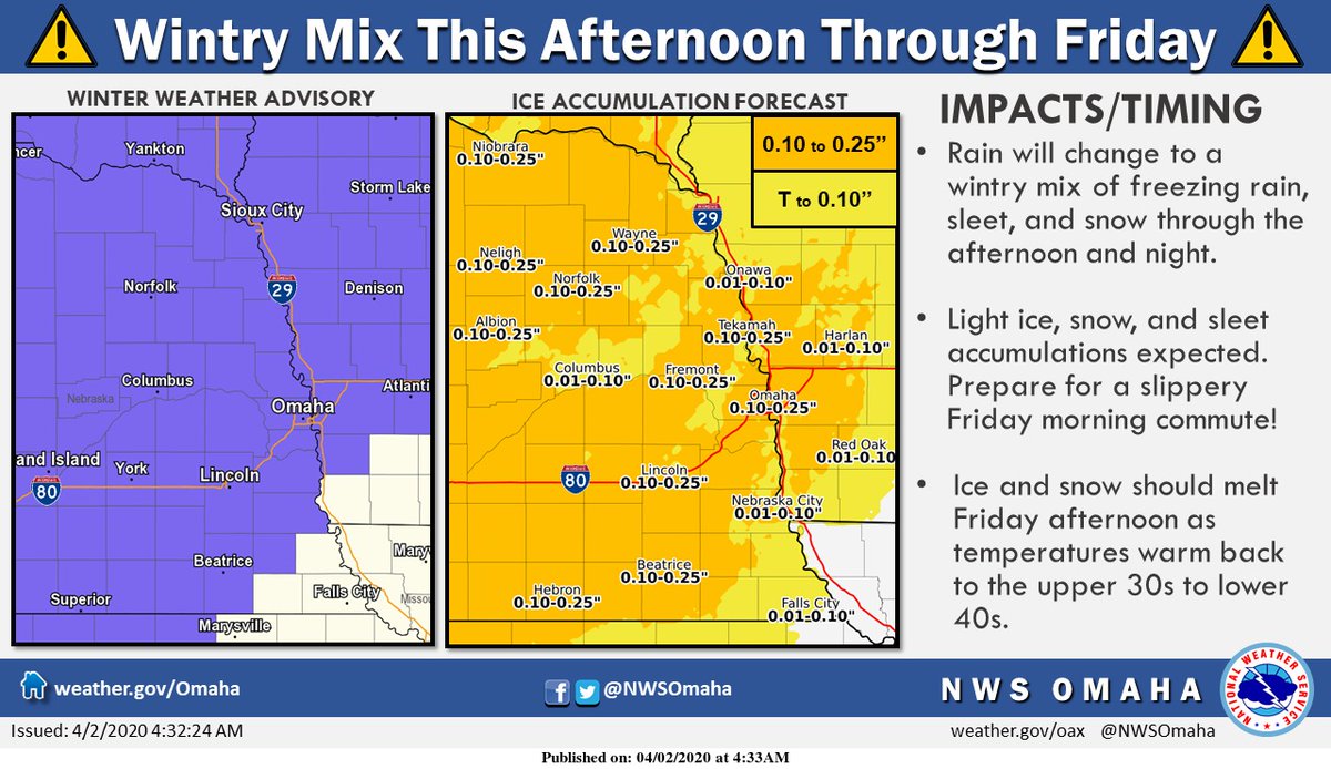
Here's a look at what radar may look like this afternoon. While precip will be light, rain may change to snow quickly as temperatures plummet. Dropping temps could cause flash freezing on the wet roads. On top of that, winds could gust up to 40 mph! Yuck!
Good news everyone!
The Tstorms in S Dakota this morn have sped up our anticipated cold front. It's pushing through the Norfolk area now... may arrive in Omaha this afternoon. (Instead of midnight!)
The coolest / driest air behind it will be most noticeable Sunday.
#NEwx