@MapScaping there is an active facebook group, NZ GIS geeks, you could ask in. But definitely second coming to @FOSS4G_Oceania
There are a couple of toitu te whenua folks based in nelson so will ask for you
Happy Monday! Can set aside a bit of time this weekend to advocate for what the most exciting and useful talks should be at FOSS4G SotM 2023. This year, we want the community who we serve to tell us what the program should look like. Will you step up to the challenge?
🎉We're excited to bring you the new NZ Suburbs and Localities dataset. Managed by Toitū Te Whenua & updated weekly, this dataset names urban & rural communities across NZ. New TA & population est. fields provide more complete data for emergency response https://t.co/mEL7Kz9rvS
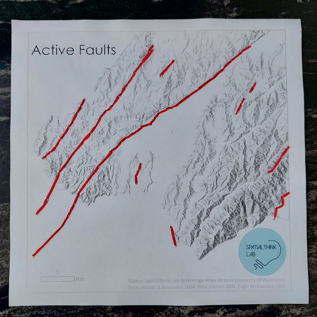
Here's a draft of an idea I've been playing around with - putting emphasis on New Zealand's faulted landscape. For no other reason than, I just like how this looks.
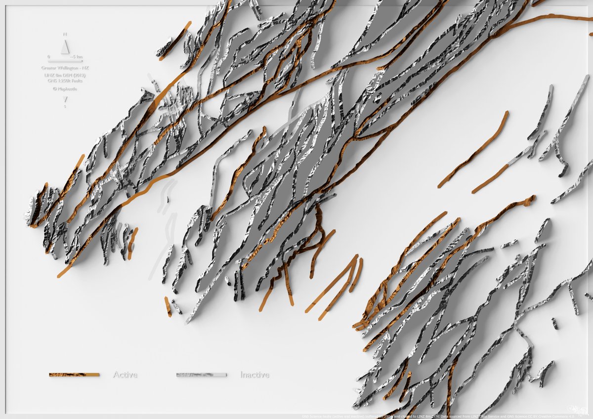
A simple map showing faults in Greater Wellington - NZ.
Wed 19 Oct @WellingtonUni
Come hear mappy folks talking about mappy things and meet other mappy people!
2 great speakers @o_Whereabouts and the good folks at Nature Braid
https://t.co/IHRQtTIj28
@spatialthinklab thanks for sponsoring @osgeo_oceania was so much fun being able to share my love of open source cartography after being getting energised by geocart recently
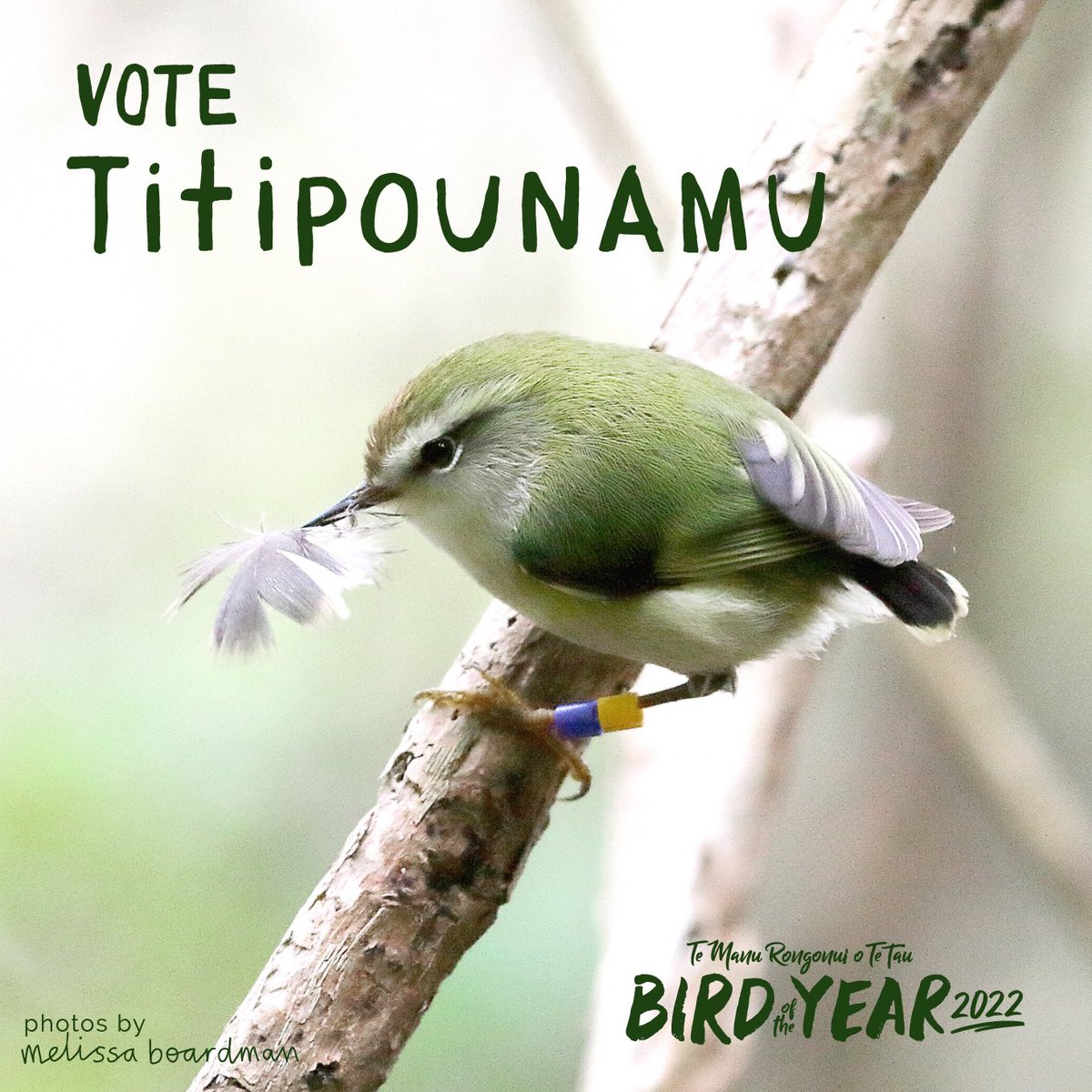
Maptime Wellington QGIS workshop this Thursday. Come learn some QGIS mapping tips and tricks. We will be making a simple map using NZ bird colour palettes from @GojThomson
https://t.co/J2zBDyOKdZ
T -1 min
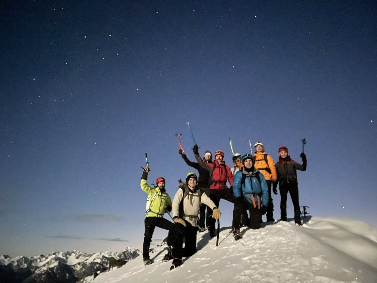
Last weekend, I took advantage of the full moon and clear weather to go on an overnight traverse from Avalanche Peak to Mt Bealey in Arthur's Pass.
For some reason, I've decided to give myself one (1) hour to create a 3D #map of the route, and live-tweet the process...