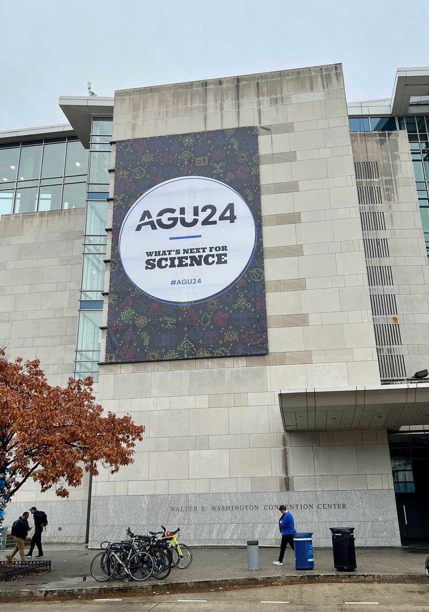
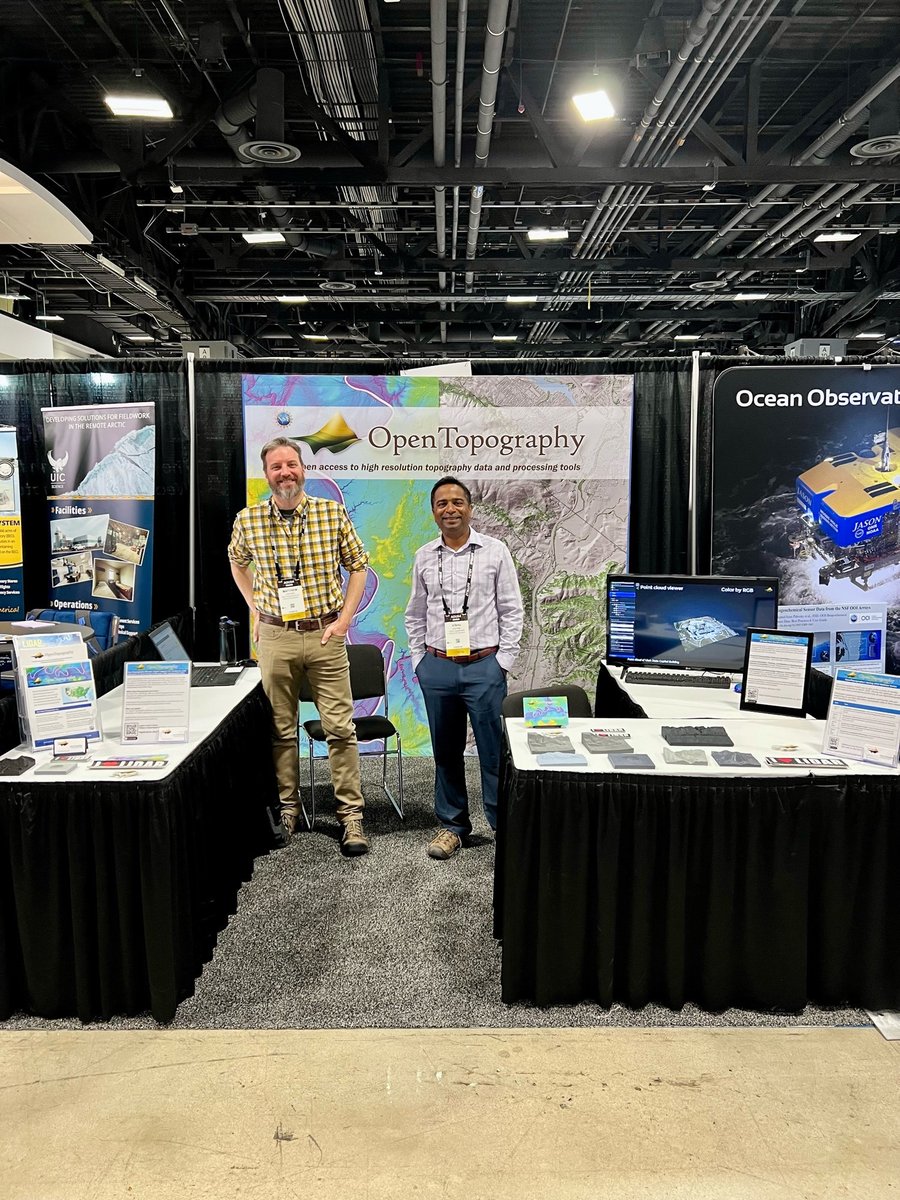
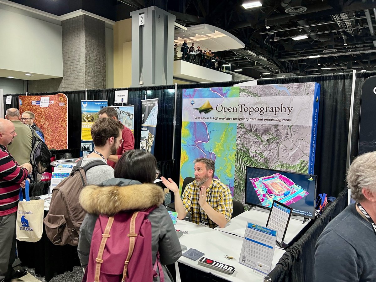
OT will be at #AGU24 next week. Visit us in booth #1108 in the exhibit hall. Our booth is staffed by the OT team. Stop by & ask questions, provide feedback, see what's new in OT, & grab an "I ❤️ #LIDAR" sticker!
More info on the OT booth, talks, posters https://t.co/zMenemGJXm
Call for @NCALM_UH seed project proposals is now open! Great opportunity for students to get free #lidar for research. New this year, faculty at MSI & 2YCs are also eligible. Data become open via OT. To date there are 254 NCALM datasets available on OT: https://t.co/18tL2XoRaa
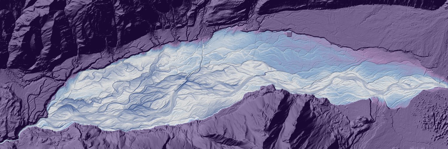
#30DayMapChallenge · Day Thirteen · A new tool. Visualisations of segments of the Duchesne (left) and Sevier (right) rivers, inspired and made possible by @geo_coe (who wrote a wonderful set of tutorials in QGIS) and @OpenTopography.
Are you interested in helping to guide OpenTopography? We're seeking members for our 3 Advisory Committees to represent users and ensure that the facility’s activities are aligned with the needs & initiatives of the scientific & educational communities: https://t.co/bNUUw5DniO
@EFF@Esri#30DayMapChallenge Day 4 - Hexagons
Elevation ranges at The Pentagon shown through hexagons
Made using a LiDAR derived DSM of the area via @OpenTopography and a zonal statistics calculation in QGIS
OpenTopography is at the @SACNAS National Diversity in STEM (#2024NDiSTEM) conference in Phoenix, AZ this week. Stop by our booth in the exhibit hall (shared with @AGeSGeochron) to say hi 👋, ask questions, and learn about available resources related to #lidar and topography.
The first ever GDAL Users Survey is now open for feedback at https://t.co/VjLigLWqeM The survey is an attempt to provide structured guidance for the maintenance program to focus its efforts in the coming year. Please contribute and help us circulate it!
@kirstenSharp How did you contact us? When? Don't see a message from you in our queue. We normally respond as quickly as possible. Please resend inquiry to [email protected]
Recent post: May–Aug 2024 publications using OpenTopography:
1. Fault mapping with drone lidar
2. Snowmelt, topography, plants, and pollinators
3. Remote sensing helps determine hurricane impact on vegetation and wildlife
Read more about these new pubs: https://t.co/qEmoeN3PkK
We will be conducting scheduled maintenance on Tuesday Oct 1st from 2pm PDT to 6pm PDT. During this period the OpenTopography Portal and APIs may be temporarily unavailable. Thank you for your understanding.
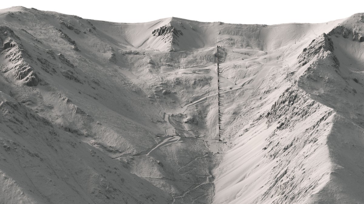
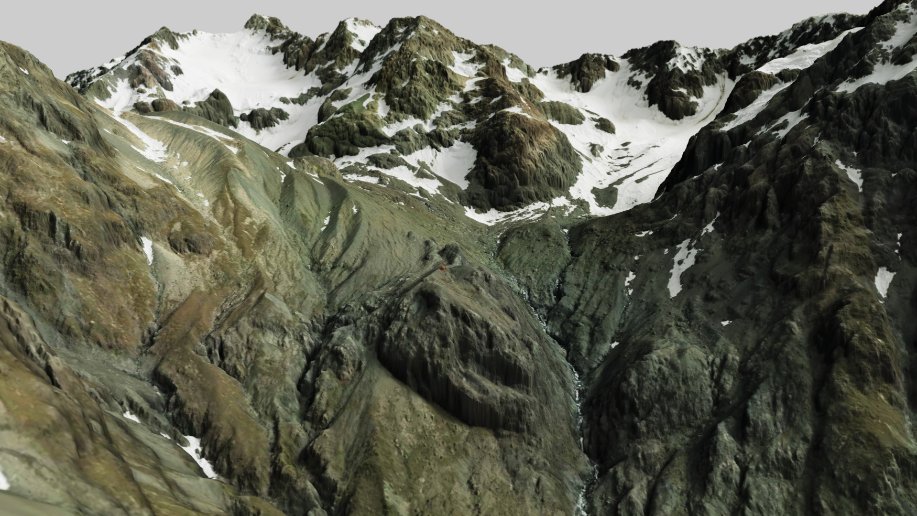
Featured Image: blending a DSM with aerial imagery, showing Baker Hut in Arthur’s Pass National Park. It also features Mt Murchison, White Glacier, and Marmaduke Dixon Glacier.
Explore the latest #LiDAR updates at https://t.co/qCg2CC05yg & https://t.co/WqeuDmFGeO @OpenTopography
NCALM is pleased to announce that we have received @NSF funding for our 6th project cycle. Stay tuned as we will announce a couple of exciting new programs in the coming weeks!
🎉Exciting updates to the Canterbury 2020-2023 dataset:
@OpenTopography https://t.co/WqeuDmFGeO DEM on LDS https://t.co/qCg2CC05yg.
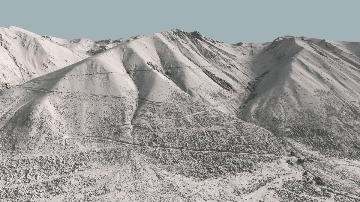
Here's the DSM showing Ohau Ski Field and the road up to it, east of Lake Ohau in the Canterbury Region. #Canterbury#Mapping#LiDAR#opendata 🗺️
Learn more about topographic differencing, OpenTopography's tools for computing change, as well as publications, tutorials, and links to open source code here: https://t.co/baNEVn9D7l #lidar
The Governor of CA declared a state of emergency on Sept 3rd due to quickening landslides in Rancho Palos Verdes near LA. Topographic differencing with @NOAADigCoast#lidar in OT shows Earth’s surface change from 2010-2014. The red and blue areas highlight persistent landslides.
Underneath the multimillion-dollar homes in a scenic town 30 miles south of Los Angeles is a large complex of landslides. Every day, the ground moves. And for some residents, it's been catastrophic. https://t.co/zz2JoJF1Wl