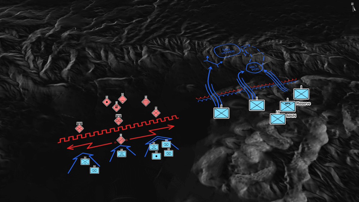
TacTrace is live at: https://t.co/O1PSmdzMQA
Still very much a work in progress, so I'd love your feedback and bug reports. I mostly built it as a sandbox for myself before adding things to ORBAT Mapper. (2/2)
In response to popular demand, all of the mapmaking tools on my site have been updated with unit selectors for miles, kilometers and nautical miles.
https://t.co/ciVTVFf1Yb
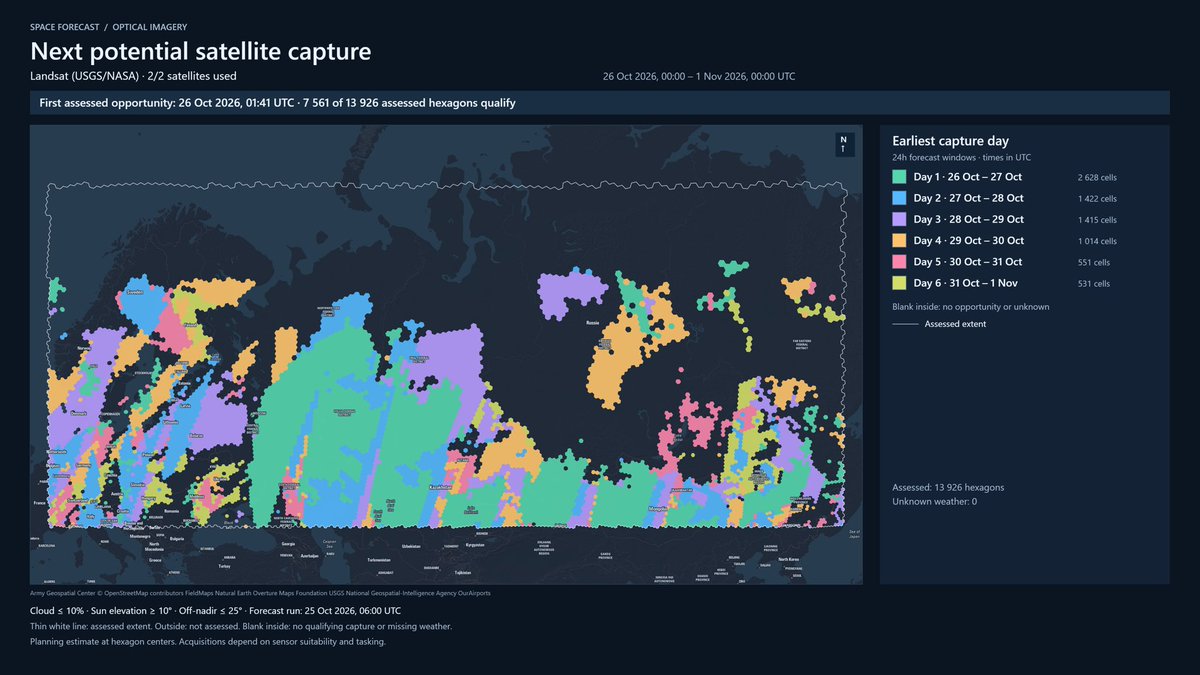
So I made this thing where I try to predict the next possible EO satellite capture. It should automatically update every day, but I can’t guarantee that it works.
Please let me know if I got any constellations wrong.
https://t.co/hvwbpPKhg6
@EtienneServant I have to try that. I seldomly use dark maps, but the problem often arise on satellite basemaps. And in dark mode of course. The glow effect work on every background (sort of), but not always pretty
Downside is increased initial rendering time and memory consumption, so I'll probably make this optional. Based on a recommendation from @spatialillusion a long time ago.
Try it out at https://t.co/BK8Kh4ceaB
I'll make this a core feature but I want some feedback from users first. Currently it does not do any changes to your scenario.
A few years ago, Norway beckoned. Oslo, Rjukan, Stavanger. The Hardangervidda and Vemork - following in the footsteps of Operation Freshman, Grouse, et al. Life-changing, in the way it made me consider mapped terrain. Never forgotten it, nor the many discoveries along the way. Slightly envious of @nickfshort this week, in country.