Meteorologist working in Emergency Management and Disaster Preparedness | @TN_CoCoRaHS State Co-Coordinator | @UofOklahoma @wku alumna | Opinions are my own
Looking for your next career opportunity? Join us at TEMA! We're currently seeking passionate and talented individuals to fill several positions.
Regional Director, Southeast
Job ID: 66897
Emergency Management Operations Officer 3
Job ID: 66735
Emergency Management Planner
Job ID: 67128
Learn more + apply now at https://t.co/UGfiUyJVvb.
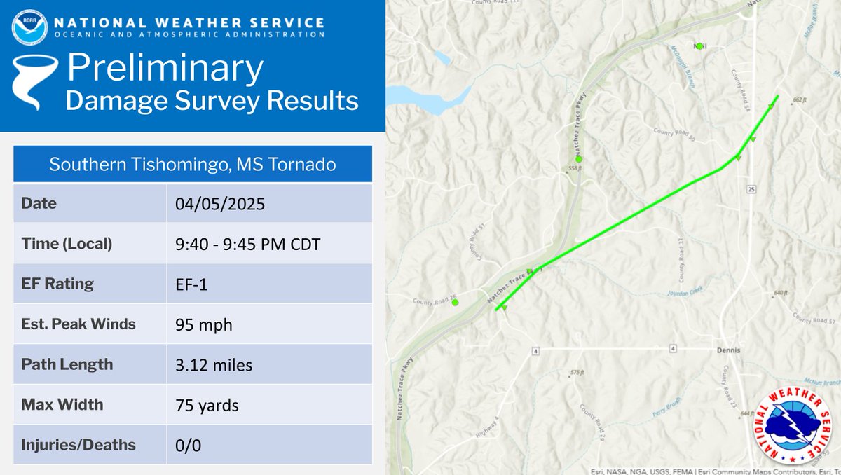
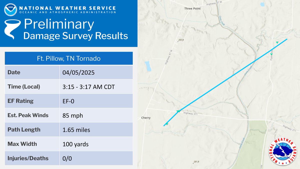
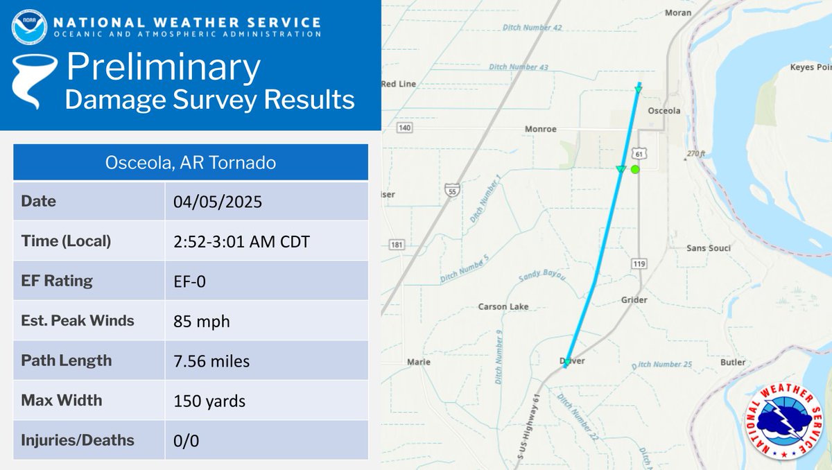
Update to our tornado surveys, here's the latest information regarding all 32 (yes, thirty-two) tornadoes we have found so far in our area from April 2-5.
https://t.co/ubKwGKdqDM
Ft. Pillow (TN), Southern Tishomingo (MS), and Osceola (AR) tornado information has been updated.
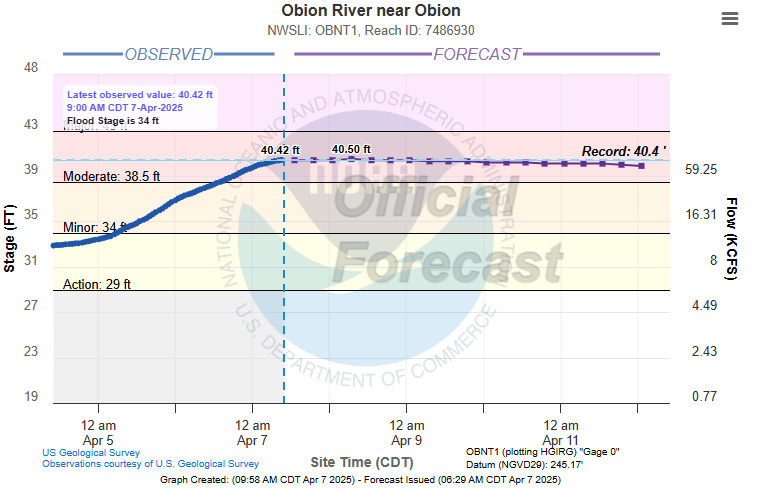
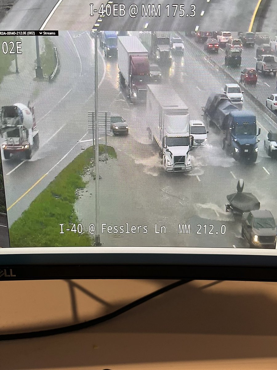
🚨🚨Record Flooding is happening *NOW* on the Obion River near Obion. Avoid unnecessary travel on HWY 45W and HWY 51 through Obion County. Please heed all road closures and Turn Around, Don't Drown when encountering flooded areas! #tnwx 🚨🚨
This morning, @MarshaBlackburn and @SenatorHagerty visited the State Emergency Operations Center to get an update about current operations and impacts.
We would like to thank them for their continued support as state and local partners respond to the severe weather and flooding in West and Middle Tennessee.
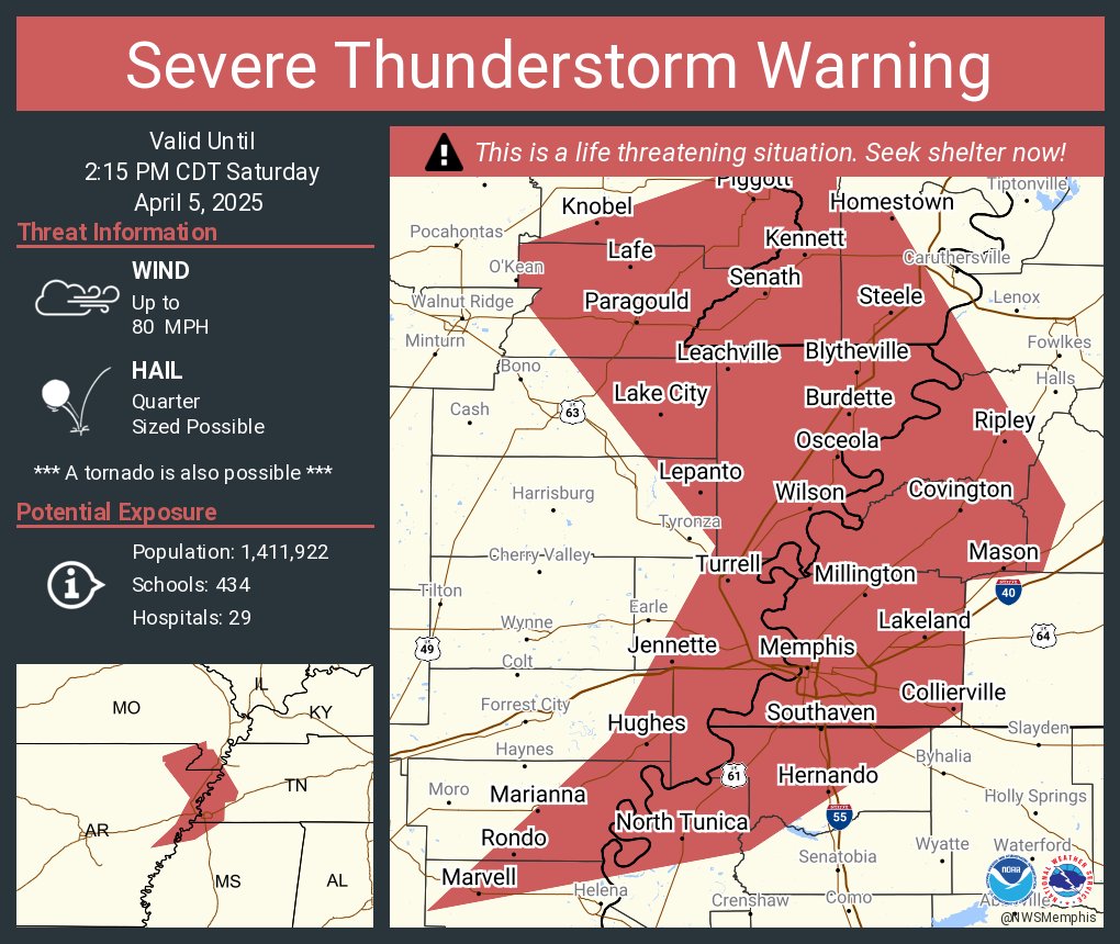
Severe Thunderstorm Warning including Memphis TN, Bartlett TN and Southaven MS until 2:15 PM CDT. This destructive storm will contain wind gusts to 80 MPH!
(April 4, 2025): The Tennessee Emergency Management Agency has been working with local jurisdictions to assess damages caused by the severe weather that impacted several West Tennessee Counties.
Our hearts and minds are with all of those that have been impacted by this disaster.
Tonight, I joined TEMA & @NWS to update Tennesseans on storm damage & upcoming severe weather.
The storm threat will continue through the weekend, so do not let your guard down. Stay vigilant & heed guidance from officials.
@TennesseeEMA@mytdot@tnhighwaypatrol
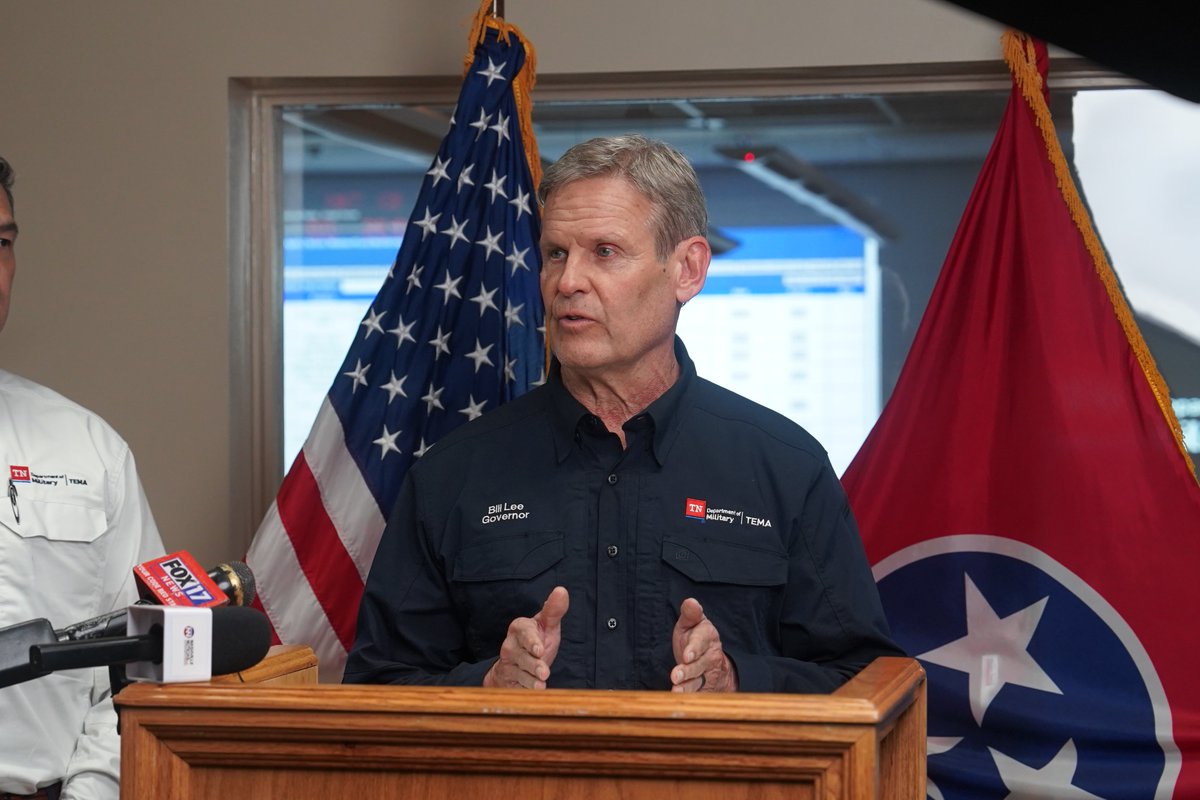
Soon: @GovBillLee, TEMA & @NWSNashville will provide an update on severe weather and flooding impacts from the State Emergency Operations Center.
The briefing will be livestreamed here: https://t.co/Pw9wZ4JGGB
"We just want to make sure that Tennesseans are safe, that they understand exactly what's coming and they protect themselves and their families." - @GovBillLee.
ICYMI: Gov. Lee, TEMA & @NWSNashville provided an update on severe weather impacts and the expected conditions ahead from the SEOC. Watch here: https://t.co/sMgif6Jqfq
We are proud to serve Tennesseans and grateful for our local, regional and state partners who continue to support response efforts.
The State Emergency Operations Center in Nashville maintains a Level 3 – State of Emergency status to support local requests associated with the current severe weather threat and to continue to respond to the Hurricane Helene recovery.
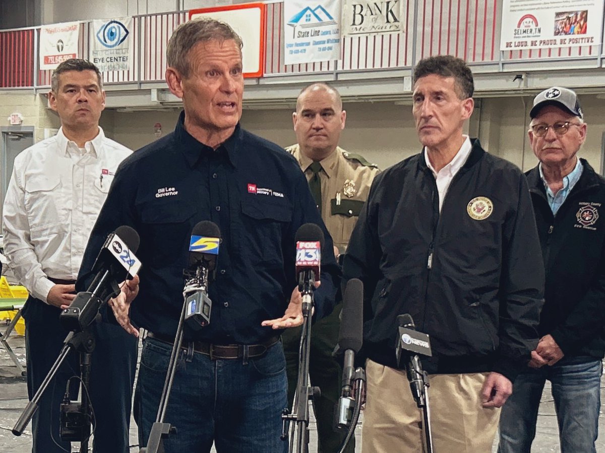
@THP_Colonel Matt Perry joins @GovBillLee , @TennesseeEMA Director Sheehan, and elected officials in Selmer to survey storm damage and assess community needs. @TNHighwayPatrol and the @TNDeptofSafety & Homeland Security will support TEMA and local partners in any way needed.
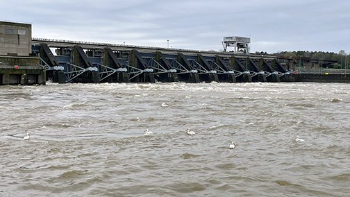
Heavy rains in Middle TN! 🌧️ USACE reports dams working to manage water flow, but some rivers (Harpeth, Red) & creeks seeing flash flooding. Clarksville flood risk. Cheatham Lock closed. Stay safe, avoid flooded roads. More info: https://t.co/VDmGSgJ8X2 #NashvilleWeather#USACE
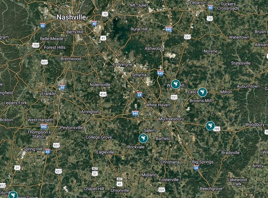
There are 4 #tornado shelters in Rutherford County outside Murfreesboro that are options for local residents if time permits. There's a tornado warned storm over Franklin now moving in the general direction of Rutherford County.
Locations at https://t.co/8ZOmFso9M9. #TNwx
Following severe storms & flooding across the state, we encourage all Tennesseans to use @myTDOT’s SmartWay platform & avoid unnecessary trips.
Visit https://t.co/jZUeUGvZRY to check local conditions & plan your route.
We continue to monitor conditions at the State Emergency Operations Center as severe weather and heavy rainfall moves through the west region and into Middle Tennessee. Please stay weather aware and follow guidance from local officials.
As of 11:15 p.m. CDT, we are tracking 12,000+ power outages in TN. If you lose power:
- Keep freezers and refrigerators closed.
- Only use generators in a dry area outdoors and at least 20 feet away from building openings.
- Unplug appliances and electronics to avoid damage from electrical surges.
The State Emergency Operations Center remains activated at a Level 3 – State of Emergency status to support local response and requests amid severe weather and heavy rainfall. TEMA personnel have deployed at the request of counties and are coordinating efforts.
Flash Report #1: https://t.co/YVwnMelhf0
Several @THP strike teams are in Middle & West TN after a night of tornadoes, storms & flooding.
This video shows troopers, McNairy Co. deputies, Selmer PD & firefighters searching a destroyed home—during a lightning storm—for anyone trapped or hurt.
@TennesseeEMA has updates.