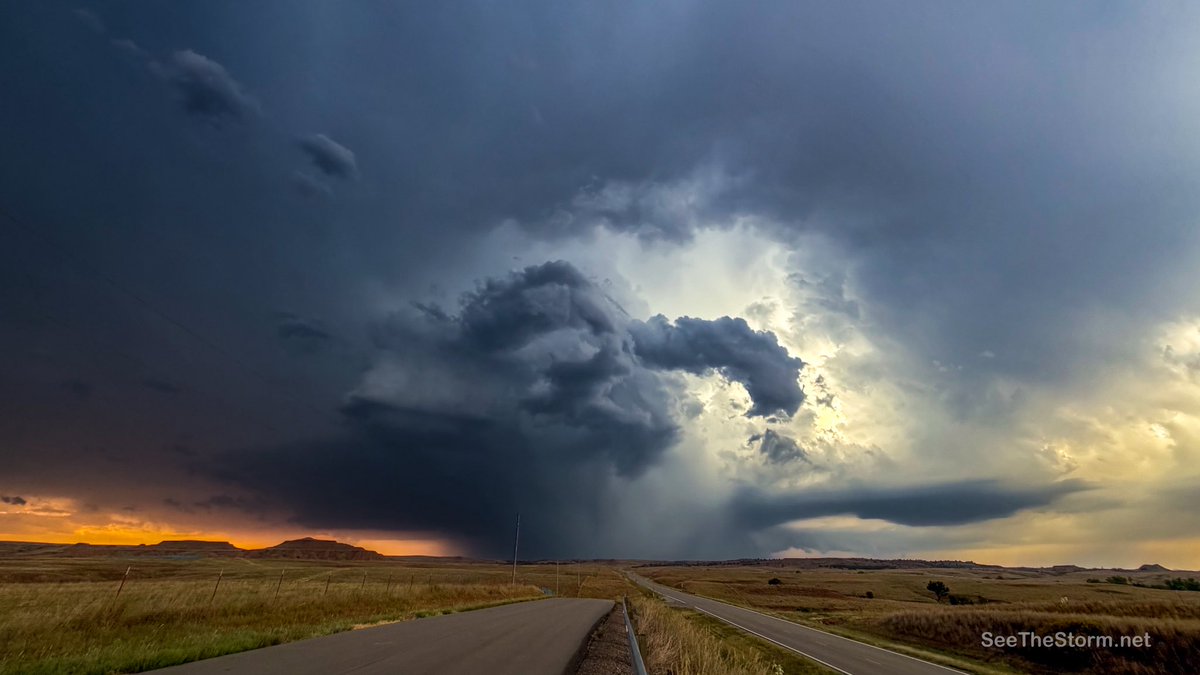
RISE-26 begins soon. A team of meteorologists, researchers, engineers and storm chasers on a mission to gather the most comprehensive and three dimensional data-sets possible.
Over the fall and summer 2025 season, we’ve perfected ground-based data probes that are mass produced, engineered, designed and implemented a very robust weather balloon sounding program, and hardened our live video delivery services.
All this data, including the radiosonde from 100,000+ feet, is live streamed to our website. You’re going to be seeing boundaries, rear inflow jets, inversions, impressive visuals all the moment they happen. Our testing shows on a stable network, there is 1.8 seconds delay between observation/telemetry to your device. That’s insane, especially considering no commercial product or radiosonde ground station even offers a “live push” option of the data. They all archive.
Our funding is primarily driven by our audience. An investment of watch time, sharing, liking, or financial support moves this forward.
RISE-26 sets the stage for our -27 and -28 missions over the next 2 years.
@AidanO_wx@tnstormhunters@VinceWaelti@RadarOmega@cyclonePORT
https://t.co/s9ZF8cCAMh - code WEATHEREYE for 8% off Davis, Kestrel, and more<— not paid to say that, it’s for our audience, not us
Here's a preliminary look at surface pressure data from 4 of our network sensors near Fort Walton Beach last night as Isaias made landfall. These sensors will be deployed in mass in and near tornadic supercells in 2027.
Looks like our lowest pressure readings came in the 8:15pm to 8:30pm timeframe. Roughly an 8-10 mb drop that initiated at 8PM, before a steady and quick rise back to the 995 ballpark.
@reconwx
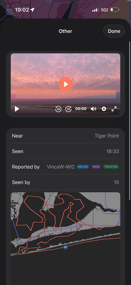
Winds in Navarre are gusting 45+mph now since taking this screenshot. It’s really nasty out here and it won’t let up for a few hours yet. Once this thing makes landfall and loses its connection to warm Gulf waters it will start to wind down some.
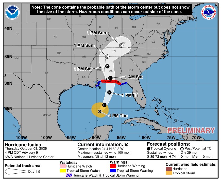
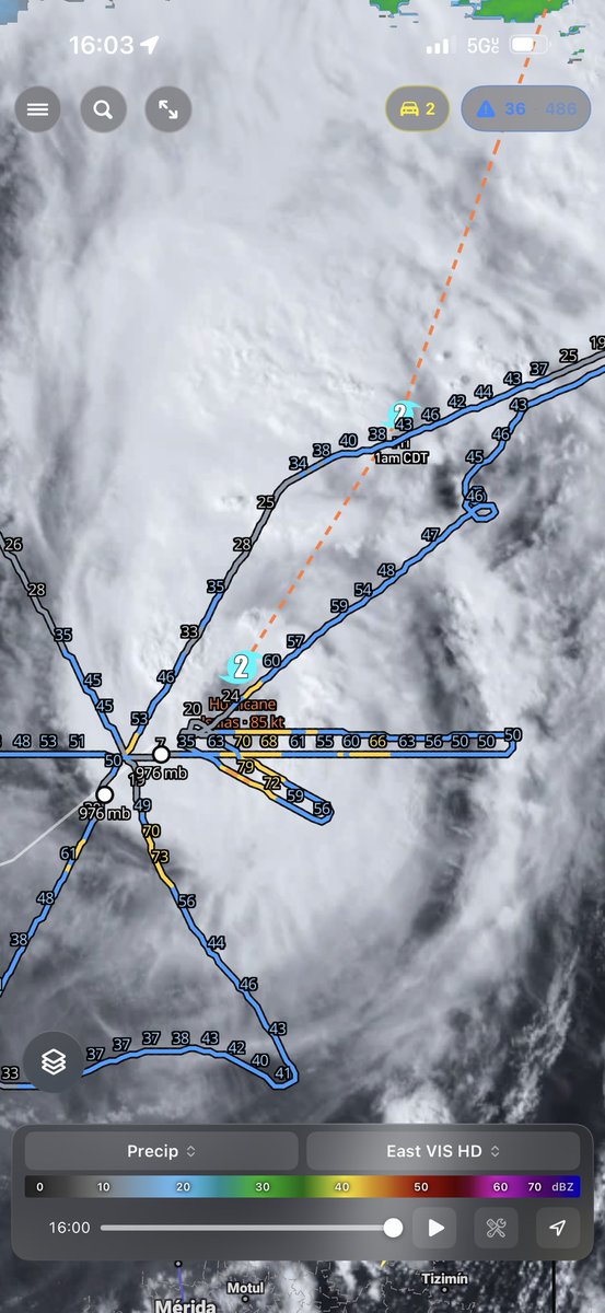
Isaias approaching the coast about 15mph. Expecting it to reach category 3 by this afternoon with landfall by 8pm to midnight. It will weaken before landfall.
Isaias is now expected to become a major hurricane tomorrow, with peak sustained winds of 115 mph. It is still forecast to weaken to a Category 2 on landfall.
Chasers: if you’re headed to Isaias, our iOS native app update allows us to access the device’s pressure sensor. Our testing against real instrumentation reveals that they seem to be quite accurate.
If you’re willing, you can join in and help us study the feasibility of using phones as supplementary data to our mission in 2027. While we use calibrated and tested instrumentation for our research work, a larger network of secondary data is still useful.
The catch is that I would have to set you up as a staff member / chaser in our app. You don’t HAVE to stream to do that, but your location would be on the map. You can turn it on and off and it does work with the app closed.
Our app is free. In return we would add your social media and tip links, if applicable, to the profile attached to the map icon so people can find your socials.
Send a message if interested.
*iOS only. Requires native build. Android not yet out.
@reconwx
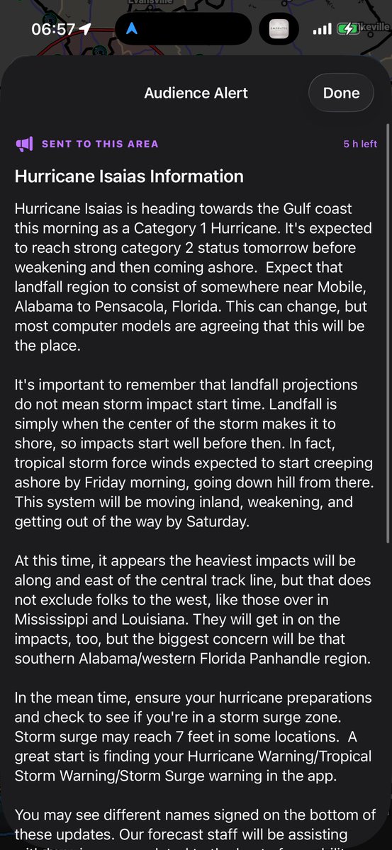
Our audience alert push notifications now populate as a purple dashed polygon on the iOS app, like our target areas, which are and have been blue dashed.
You have to toggle these on -> layers menu -> ReconWx -> audience alerts
Those with push enabled will get these direct to your device, as always. The new thing here is that others from outside the area can now see them.
We’ve got staff helping behind the scenes make sure everyone knows the latest. @reconwx
We’ve identified a bug where when deleting a saved notification zone in settings, the app shuts down and restarts (iOS only) This does not affect your receiving of alerts. The fix has been pushed and pending approval from Apple.
🌀 Here’s a 5:30am CDT look at Hurricane Isaias. The modeled wind gusts for Friday evening exceed 90mph just off shore. Expected to be weakening on approach, there will still be lots of wind trying to push water on shore and blow down trees and power lines.
Vehicle Data Unit deployment on this tornado outbreak in Kansas. Notable pressure drop noted and highest inflow wind speed recorded was 83mph in the Calypso Instruments ultrasonic anemometer.
I can’t tell you how notable the pressure drop was because I don’t have the data viewer handy. Will post findings in-app tomorrow.
@stsweathereye
In version 2.0 of our app, which is soon to be released, I’ve selected the Omaha area to display a meteogram. In the middle, the CAPE graph, which is storm energy, peaks tomorrow between 2 and 7pm, which coincides for our main severe storm and tornado risk. This is a really cool way to visualize model data and we are really excited to get it out there in this next update.
Grant and Stevens counties in Minnesota are under severe thunderstorm warnings as of 6:55pm CDT. Could be some big hail in these as they move north east. @stsweathereye