Introducing Nano Banana 2: Our best image generation and editing model yet. 🍌
Pro-level quality, at Flash speed. Rolling out today across @GeminiApp, Search, and our developer and creativity tools.
🎁 A New Year’s gift to the geospatial community: a brand-new QGIS plugin that unlocks access to 80+ petabytes of satellite imagery and geospatial datasets with zero coding required.
In my first video of 2026, I’m excited to share what might be one of the most powerful QGIS plugins I’ve built so far. This plugin makes it incredibly easy to explore the official Earth Engine Data Catalog and the Awesome GEE Community Catalog directly inside QGIS.
With just a few clicks, you can browse massive Earth Engine datasets, visualize them on the map, generate time series from ImageCollections, export data for further analysis, and even convert Earth Engine JavaScript workflows to Python, all without writing a single line of code.
If you’ve ever wanted the power of Earth Engine inside QGIS without the learning curve, this plugin is for you.
👉 Download the plugin and follow the full step-by-step video tutorial to get started today:
QGIS Plugin Page: https://t.co/o4wrN44uZr
GitHub Repository: https://t.co/NB4shvrL7b
Video Tutorial: https://t.co/HjBHDQGMy7
Happy New Year, and I hope this tool helps you do more with geospatial data in 2026 🚀
#QGIS #geospatial #EarthEngine #Python #datascience
@SiobhanPowellSP This post one year old is not working. I am interested in this topic of Dynamic Demand Energy Storage (EV Vehicles) and how optimization is met with filling a large area like Southern Nevada as a smart grid.
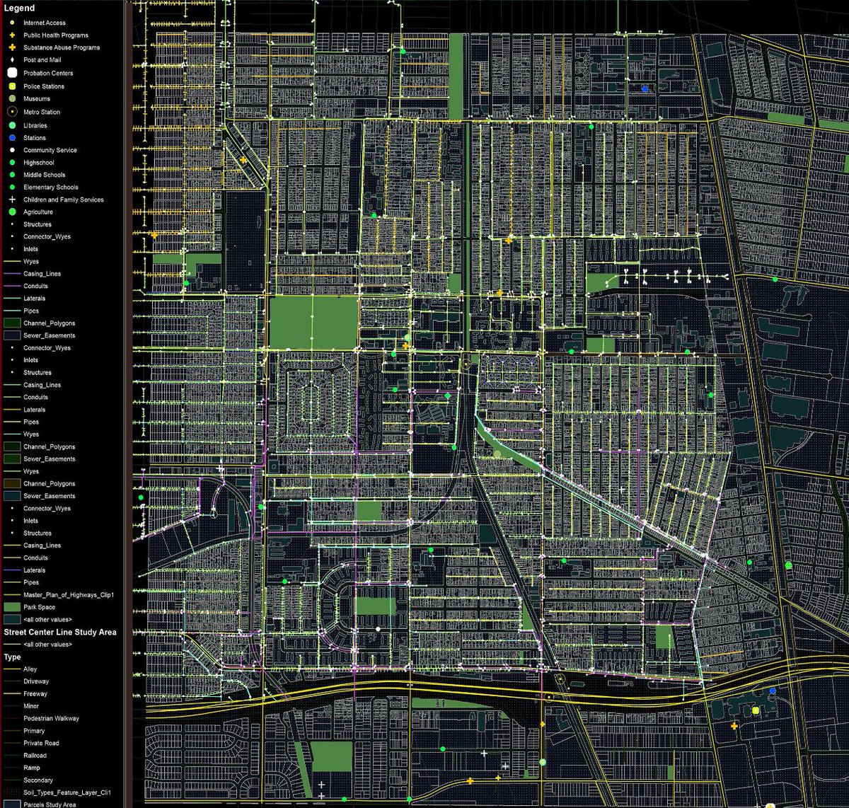
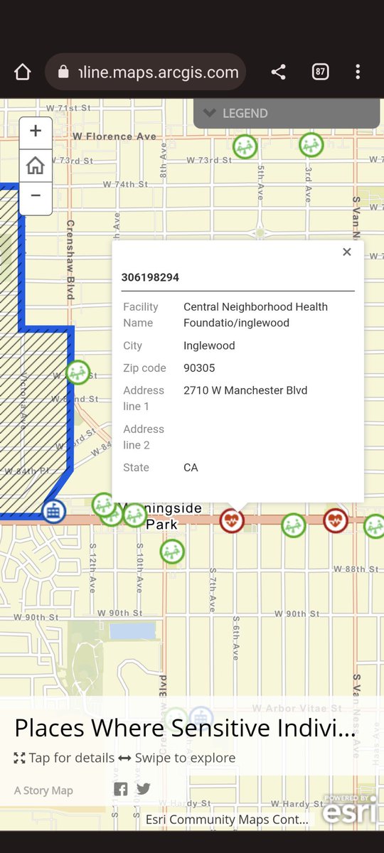
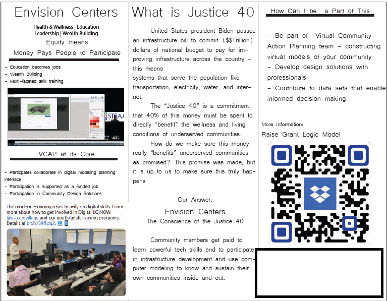
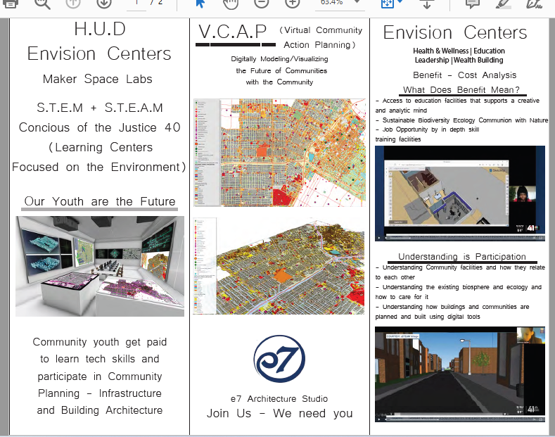
Justice 40 project in Nevada funded Infrastructure Bill.
#j40LV
American Battery Technology Company Confirms Presence of Lithium at Depths Greater than 1,400 Feet at Tonopah Flat... https://t.co/kSFB33UIFm