[Update 3/15 at 9:45 PM]
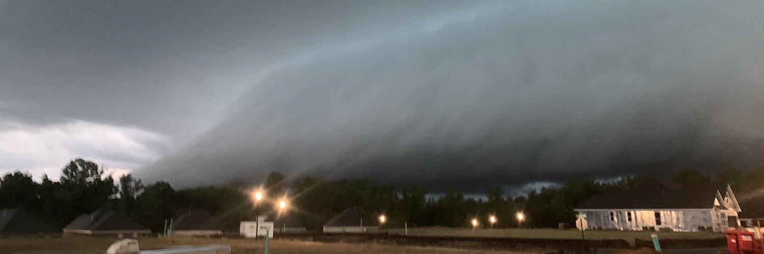
As the strong cold front approaches the area, a line of strong thunderstorms is expected to enter far northwest GA after 1 AM, continuing south and east through the morning and early afternoon.
Several storms within this line will likely be severe. (1/2)
While much of the area will see steady showers today, a few storms in our southern counties could produce damaging winds and even a brief tornado this afternoon/evening.
The exact northward extent may be further north than indicated and is dependent on the warm-front. #gawx
@SSG_Max_Fried And these letters home are just one of the things I’ll miss SSG Fried. You led us to many victories…and you always picked up the Atlanta platoon in times of defeat. Your enlistment will go down as one of the greatest the Atlanta platoon has ever seen. Thanks, and God Speed!
@Brando_WX@torarchive Did my best to chase the eventual EF4. Didn’t get it but saw aftermath in Franklin & Newnan, GA. Thanks for these spotlights, I really enjoy them!
@BenjaminSWatson Bro, I was just thinking this morning someone needed to pick you up for a movie role! Proud for you brother! Although I was thinking something in the Marvel universe…you could definitely rock that superhero role! Blessings to you and your family!
Curious about tonight's weather? We got all the info you need in our state of the art one stop shop graphic! Some thunderstorms are likely across northern Georgia tonight, but the threat for severe weather remains on the low side. #gawx
This loop from the Atlanta TDWR shows the importance even in supercells of the RFD and surges. This storm has done just about nothing but a ton of cell mergers into the RFD region allowed for a strong surge (85 mph at 500 feet). Can watch as shearing vorticity begins TGEN…
[4/2 - 8:42 PM Update] This is our area we are watching over the next few hours for an increased tornado threat. Stay weather aware and ready to receive warnings! #gawx


![NWSAtlanta's tweet photo. [Update 3/15 at 9:45 PM]
As the strong cold front approaches the area, a line of strong thunderstorms is expected to enter far northwest GA after 1 AM, continuing south and east through the morning and early afternoon.
Several storms within this line will likely be severe. (1/2) https://t.co/DATA9UeajA](https://pbs.twimg.com/media/HDfyLvyWkAEwhGw.jpg)
![NWSAtlanta's tweet photo. [Update 3/15 at 9:45 PM]
As the strong cold front approaches the area, a line of strong thunderstorms is expected to enter far northwest GA after 1 AM, continuing south and east through the morning and early afternoon.
Several storms within this line will likely be severe. (1/2) https://t.co/DATA9UeajA](https://pbs.twimg.com/media/HDfyJ9tWwAE8Ncz.jpg)






![NWSAtlanta's tweet photo. [Update 3/15 at 9:45 PM]
As the strong cold front approaches the area, a line of strong thunderstorms is expected to enter far northwest GA after 1 AM, continuing south and east through the morning and early afternoon.
Several storms within this line will likely be severe. (1/2) https://t.co/DATA9UeajA](https://pbs.twimg.com/media/HDfyQ_KbsAAhP1D.jpg)







![NWSAtlanta's tweet photo. [4/2 - 8:42 PM Update] This is our area we are watching over the next few hours for an increased tornado threat. Stay weather aware and ready to receive warnings! #gawx https://t.co/0PVs99Oay5](https://pbs.twimg.com/media/GKM2mmrbkAA4ICK.jpg)


