Our Value of Science explainer series introduces key terms, concepts, and methods useful for measuring how #EarthObservations benefit people and the #environment when we use them to make decisions. Follow along for more info! 🌍
#ScienceTwitter#EconTwitter
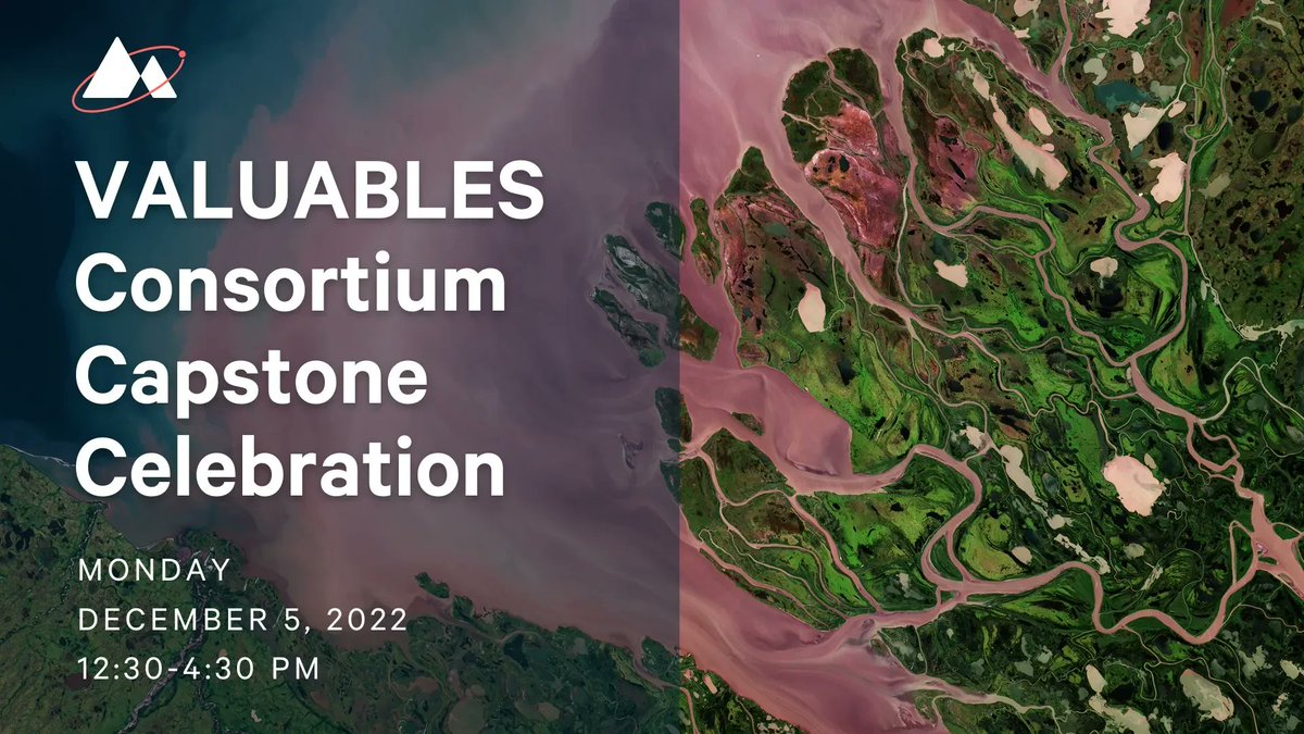
On Monday, we celebrated 5️⃣ years of the VALUABLES Consortium, an @rff & @NASA partnership. Read the thread below for a brief recap of highlights from the event 👇
LIVE 📹🔴 @RFFvaluables Capstone Celebration! 🛰️🎉
Join us for a celebration of the VALUABLES community, spotlighting consortium results and looking ahead to the future of Earth observations informing decisions.
Tune in: https://t.co/IvfkhDniz3
𝗧𝗢𝗠𝗢𝗥𝗥𝗢𝗪
@rff is hosting the VALUABLES Capstone Celebration, which highlights over five years of community building and collaborative research measuring the benefits of satellite information in partnership with @NASA. RSVP now: https://t.co/u0mESmcnhK
𝑅𝒮𝒱𝒫 𝒩𝑜𝓌
On Dec. 5, we’re looking ahead to the future of socioeconomic assessment for Earth observations with @rff, @NASA, and @NASAEarthData. Join us: https://t.co/u0mESmcnhK
How does satellite information benefit people and the environment in decisionmaking? For 5 years, the @rff & @NASA VALUABLES Consortium has worked to measure these benefits. Join us on Dec. 5 as we spotlight research results from the VALUABLES community. https://t.co/u0mESmcnhK
𝒴𝑜𝓊'𝓇𝑒 𝒾𝓃𝓋𝒾𝓉𝑒𝒹.
Join us on Dec. 5 to celebrate highlights from the VALUABLES Consortium, a collaboration between @rff & @NASA. RSVP below: https://t.co/u0mESmcV7i
For over 5️⃣ years, @rff & @NASA have collaborated on the VALUABLES Consortium, measuring the societal value of using Earth observations in decisions.
Join us on Dec. 5 as we showcase what we’ve learned and where the field is going. ⏩ https://t.co/u0mESmcnhK
How can satellite data help advance #EnvironmentalJustice?
On Monday, a panel of experts from @RFF, @medialab, and @USDA_ERS convened to answer this question. Open this thread to uncover key takeaways from their discussion. 🧵
@rff@HannahDruck There’s also a need to connect research to real-life issues.
“We, individually as researchers, cannot be the sole people defining those metrics of success, because of the utmost importance are the communities actually experiencing these issues,” @ItsUfuoma (@medialab) said.
@wxpizza That’s a wrap!
Thank you for following along. This recording of the webinar was recorded, and a video will is available here: https://t.co/xZJvyqjFRq
Today, we brought together a panel that discussed how scientists and decisionmakers can use satellite info to better inform decisions in the humanitarian sector. Read a thread of their insights here 🧵
“Many times, the outcomes can be useful, but they may not be publishable. Are we comfortable with calling that a success, even though it can’t necessarily be published … Is it going to count, given the conventional definition of what being a scientist means?” @wxpizza said.
Harmful algal blooms (HABs) are indeed harmful, but the future isn’t all bloom and gloom when it comes to HABs.
This study looks at how satellite information can facilitate an early-warning system for HABs and lead to savings in healthcare costs. https://t.co/OVtQOA3BHD
Near-real-time satellite imagery of the Amazon rainforest provides an effective tool to monitor deforestation. 🌳
This working paper provides an estimate of the deforestation avoided as a result of satellite technology. 🧐 https://t.co/J1npnqNY6c