Hurricanes can impact Maine even after weakening. With peak hurricane season approaching, MEMA Director Pete Rogers encourages everyone to prepare. Read the full press release https://t.co/hjUiQ8h8p5 and explore historical hurricane tracks at https://t.co/GQA04TNPZi.
Be prepared for the first widespread snowfall of the season, expected tomorrow. This storm may cause dangerous driving conditions and affect holiday travel. Read more in our press release: https://t.co/7Imdmc8885
DYK that the City of Bangor was once evacuated? In 1955 a nationwide effort was made to prepare the US in the event the Cold War escalated. Communities across Maine participated in a variety of ways, with the evacuation of Bangor being a highlight.
https://t.co/Dn9Iw41uJX
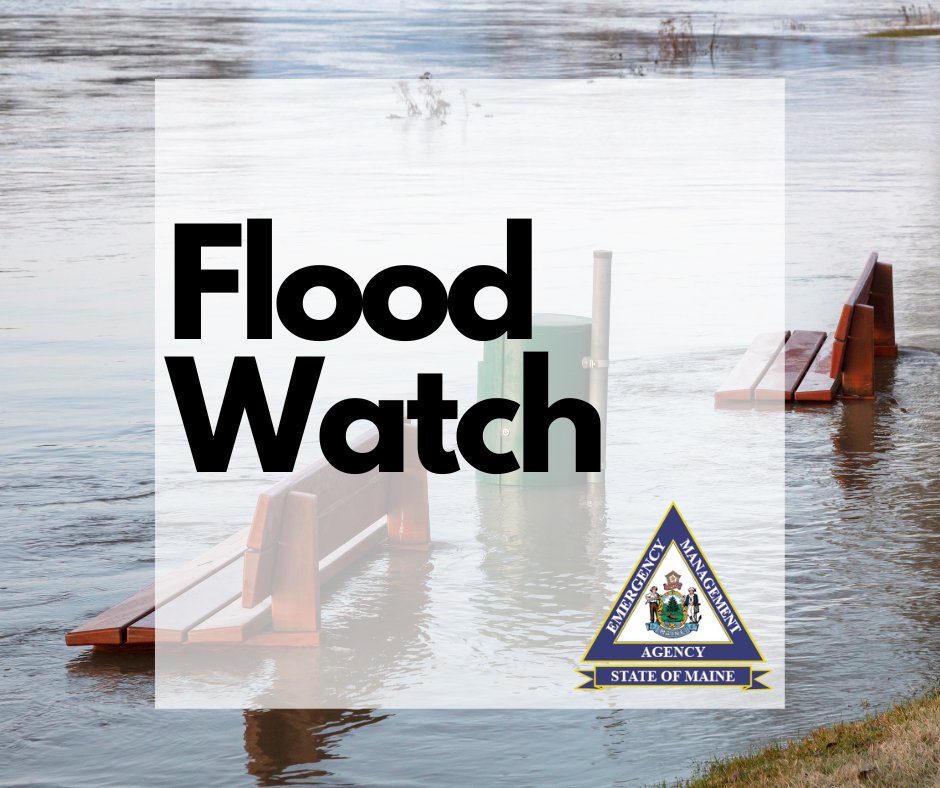
The remnants of Beryl arrive in Maine today and there are flood watches in effect across much of the state. Check your local forecast for details and remember do not walk, swim, or drive through flood waters.
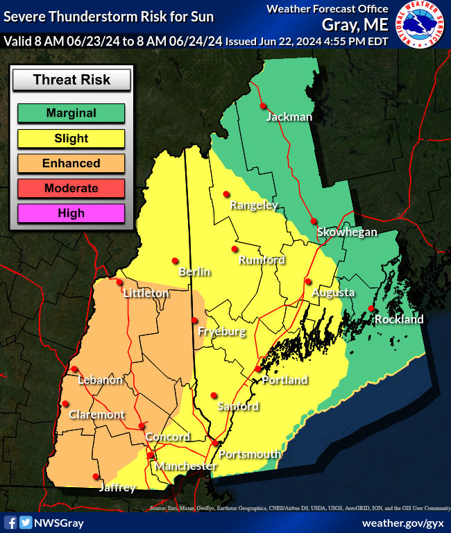
Thunderstorms are likely tomorrow afternoon (Sunday) across Maine. Scattered severe storms are possible. Damaging winds and small hail are projected as the primary hazards with power outages likely. The tornado threat is low but not zero. Check your local forecast for details.
MEMA personnel participated in a meeting of the Infrastructure Rebuilding and Resilience Commission in Rumford today. Learning from the impacts of recent storms and preparing for the next weather disaster is a vital part of making a ready and resilient Maine.
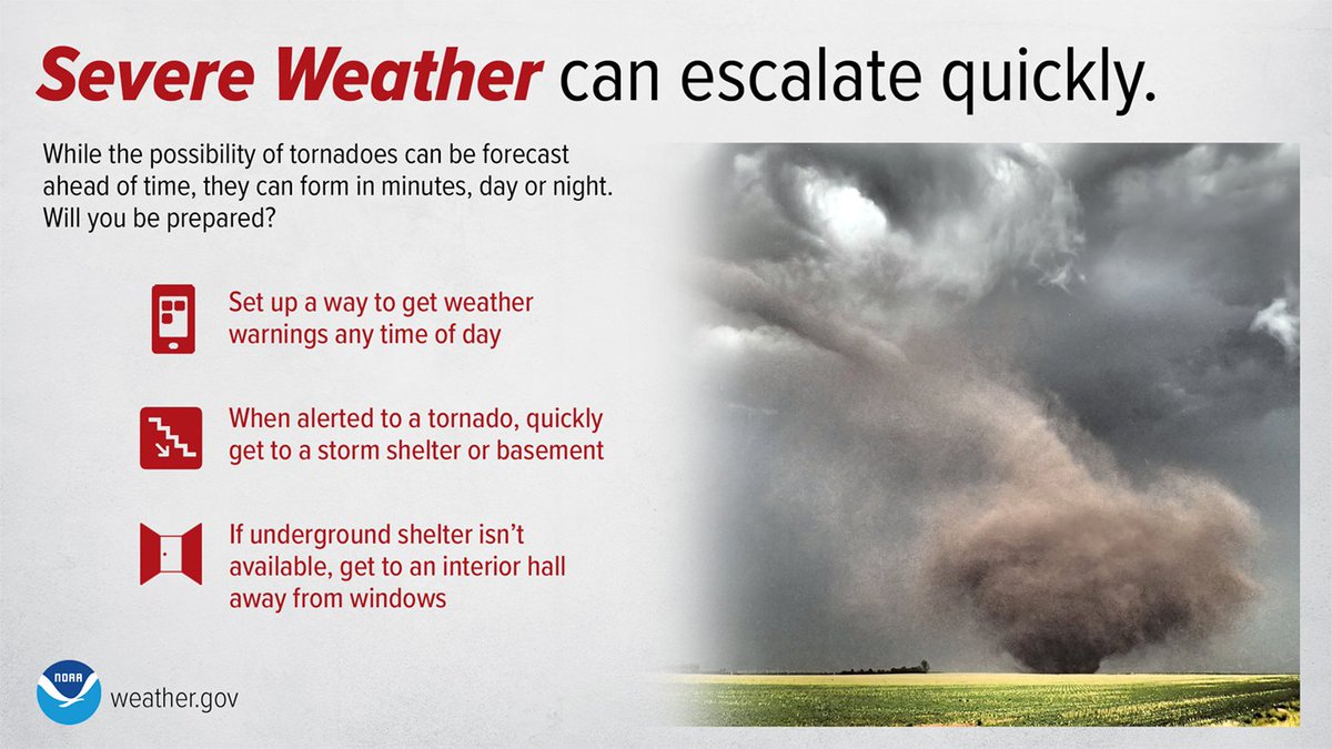
Monitor your local forecast today. Make sure your smartphone is set up to receive weather alerts.
"Everyone needs to be ready to spring into action if necessary,” said MEMA Director Pete Rogers. Read the full press release here: https://t.co/xNu71vGkXY
*SIGNIFICANT SEVERE WEATHER RISK JUNE 23* Numerous severe storms are expected today across parts of NH and ME. All hazards are on the table for this event with damaging winds the primary hazard. Ensure you have multiple ways of receiving information. #nhwx#mewx
Good afternoon! Severe weather is expected Sunday. Damaging winds, tornadoes, and hail will be possible. Greatest storm threat will be between early afternoon and late evening, west to east. The earliest storms could start around noontime. #mewx#nhwx
Good afternoon! Severe weather is expected Sunday. Damaging winds, tornadoes, and hail will be possible. Greatest storm threat will be between early afternoon and late evening, west to east. The earliest storms could start around noontime. #mewx#nhwx
Didn't see a cooling center available in your area the last time you checked? Check again! Many additional centers have opened this week. Visit https://t.co/IjyHhq2ThC
Temperatures will be above 90 degrees much of the week. Stay safe by staying cool. As Cooling Centers open they will be posted here: https://t.co/vx5T2FH3Xp or you can call @211Maine
Tremendous job to all involved working to keep Maine safe during the Katahdin Shield exercise. Truly an amazing 4 days of training, networking and coordination. Well done!
Seeing Maine National Guard, police, fire, hazmat, or other emergency responders in your area? The Katahdin Shield 2024 full scale training exercise is taking place statewide this week. Learn more at https://t.co/J4kesHpdH0
A full-scale inter-agency training exercise is happening the first week of June. Major impacts to the public are not anticipated. Learn more at https://t.co/J4kesHoFRs