@IPTCWCDirector@Its_GiantsSZN 2006-esque late season would be very bad as well (but it is a very different setup than 2026). Who knows if a Xangsane/Cimaron/Chebi like storm will form, explosively intensified and hit PH. 1982 only had a C4 STY, 1997 a C4, 2015 had 1 C5, 2 C4s.
@IPTCWCDirector@Its_GiantsSZN Well yes. I am also thinking about how the activity is very El Nino like but the intensity of the higher end storms are like from Nina seasons (but formed in far E of WPAC).
A 1987-esque season would be disastrous for PH (Betty and Nina).
@IPTCWCDirector@Its_GiantsSZN To think they also made a very big epic fail during Rammasun 2014 (which is not even small at all). 165 km/h 935 mbars when an observation showed it is 905. I fear the worst case scenario may happen in the next -ENSO year with an Oct/Nov storm near Luzon.
@Its_GiantsSZN@IPTCWCDirector I fear in the near future, another small pinhole-eyed storm will have a very low typhoon-level estimate from JMA, but worse is that the typhoon will be very near landfall. Imagine in the future JMA give 75kts for a storm impacting PH for example when in fact it is already 175kts.
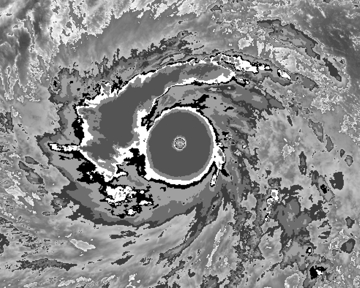
@IPTCWCDirector And potentially third sub-900 mbars storm before August. Sinlaku's observation in Saipan supports 880s peak. Bavi has 913.9 in Rota after some weakening. And now, Dolphin is explosively intensifying with a very small eye.
@sophiashines3@BackpirchCrew At landfall, it is officially the lowest recorded pressure (2nd worldwide behind Labor Day 1935). But there was a measurement of 878 mbars when Meranti passed over Itbayat, PH. In general sense including every typhoons in Pacific with or without landfall, it isnt among top 25.
@JonnyTheWX@ContentWxGuy@EliThePitBull Well Bopha is unlikely the strongest of 2012. There is Sanba. I'd argue the start of new wave of strong WPAC typhoons is 2009 (although WPAC most likely had a C5 every year since 2000, except 2017). Nida, Megi, Muifa, and Sanba are most likely stronger than Bopha.