⚠️Wintry Mix Update
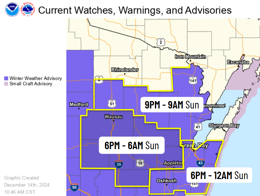
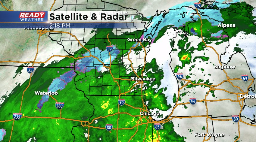
We've expanded the Winter Weather Advisory to include the Fox Valley & lakeshore areas (excluding Door Co.) from 6pm this evening-12am Sunday.
Mixed precip w/up to 1" of snow & up to 0.10" of ice.
Roads, bridges & overpasses likely to become slick.
#wiwx
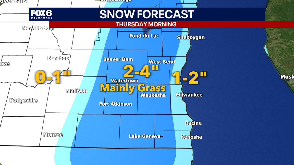
Wednesday Afternoon Weather Update. Winter Weather Advisory Thursday AM. We've increased the snow forecast. Scattered snow/rain showers will begin to taper off this evening. The concern is the Thursday AM commute. Moderate snow after 6am with 40-50mph winds out of the NW. Very low visibility expected. 1-2" of heavy/wet snow near the lake, 2-4" inland. Snow will mainly be on the grass, but there could be slushy accumulation on some roads. Snow will change to rain by afternoon (mix inland). Evening commute will be much better than the AM commute.
The System Coming Up Christmas Day is trending a little bit Stronger on Some Models. ECMWF is one of them + shows a decent setup for some Strong Storms for the TN Valley Vicinity. Uncertainty still remains on the amount of Instability/Dewpoints and Upper-Level Wind Dynamics (1/2)
Thick snowflakes with rapidly lowering visibility is being observed in and around the ABQ metro. Snow is accumulating on grassy and elevated surfaces. Be prepared for rapidly changing conditions during this morning's commute. #NMwx
🥓Bacon alert from @NWSAlbuquerque: "The atmospheric oven will roast and fry northern and central New Mexico like bacon through at least the next 7 days." 🥓
5/10 5:40 PM | Storm gusts as high as 71 mph were reported in Clayton in the past hour! More storms will continue to push northward across northeast NM into the evening hours. #nmwx
Join us in welcoming our new meteorologist Sara Bemis @sabemiswx on her first day here @NWSAlbuquerque!! Third from the left, she accompanies the crew for this afternoon’s weather balloon release. #NMwx
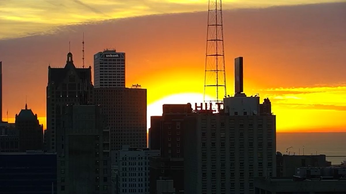
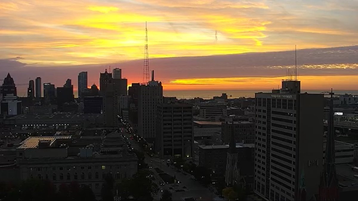
A beautiful sunrise this morning! One more calm day is expected with above average highs in the low 70s with increasing clouds this afternoon. A slight chance of rain with rumbles of thunder could become possible later this evening, but showers will become more likely tomorrow.
Today the sun rises at 6:45am in Milwaukee. Mostly to partly sunny skies are expected with fall-like temperatures only reaching a high of 56. Blustery wind gusts from the NW could reach as high as 30 mph this afternoon, along with trace amounts of rain becoming possible later on.
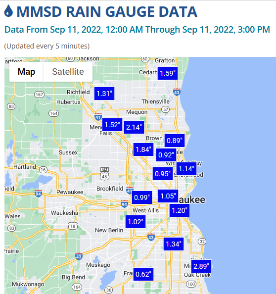
The Milwaukee area has already seen upwards of 0.50-2’’ of rain today, and more rain will continue through the rest of the day with a Flood Watch in place until tomorrow afternoon. Temps are holding steady in the low to mid 60s as blustery NNE winds reach gusts between 25-35 mph.
4/16 9:30AM- A dry and partly sunny day is expected with breezy NW wind gusts up to 25 mph, and this will keep temps seasonably cool with highs in the low-mid 40s. Clearing skies overnight will allow for a great view of the full moon before clouds increase again on Easter Sunday.
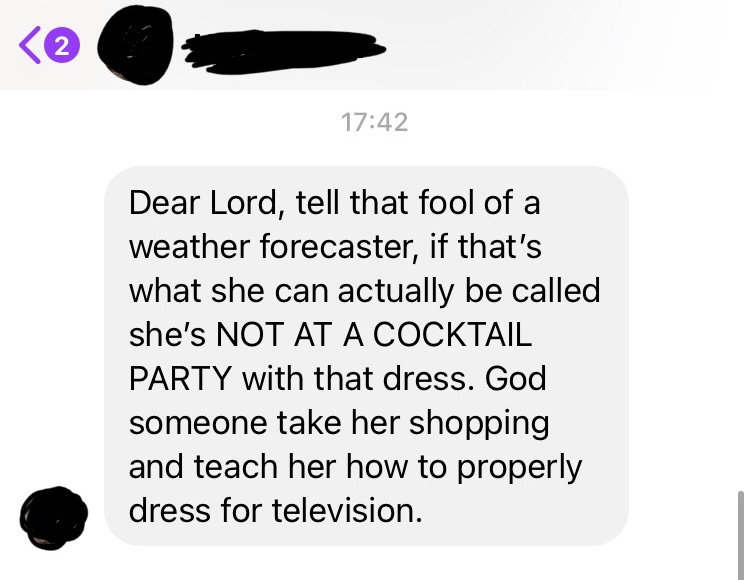
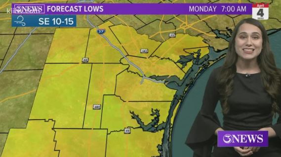
First: I have a degree in meteorology, which makes me a meteorologist.
Second: I've gotten plenty of complements on this dress. As long as my bosses have no issues with it, neither should you.
Third: don't expect anonymity next time.😉