That’s home. That’s us. 🌎
This image dubbed the “pale blue dot” was taken by @NASAVoyager today in 1990. As the spacecraft sped toward interstellar space, it captured Earth from 3.7 billion miles (6 billion km) away. Find out 10 fast facts: https://t.co/b7w6XngBMo
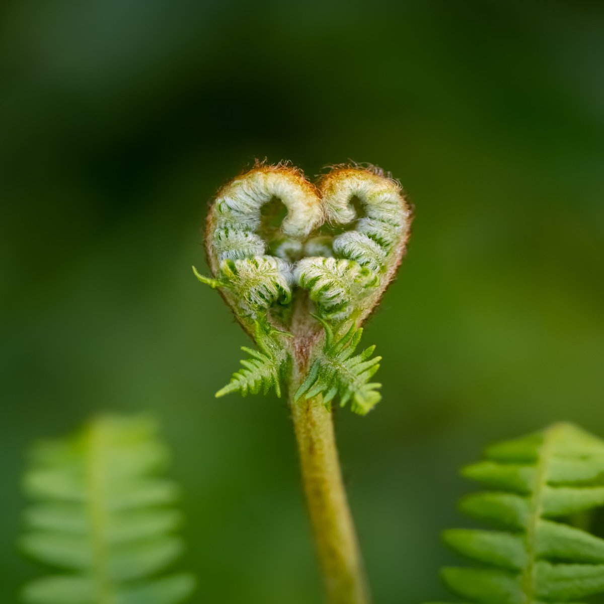
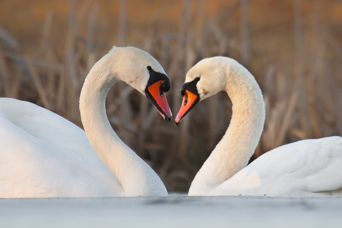
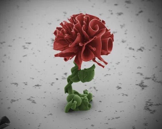
Sending a little love out into the world!
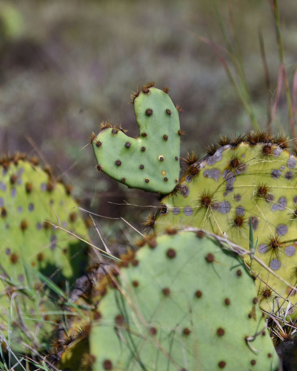
This new prickly pear pad was probably slightly damaged early in its new growth phase, which is how it ended up this shape. This one was spotted at Balcones Canyonlands National Wildlife Refuge near Austin, TX.
📸: Claire Hassler/USFWS
Class of 2023! Tomorrow, Saturday, January 14th, @SMHS_SMCISD will be hosting a FAFSA clinic at SMHS from 10 am - 12 pm for families of seniors. If you have questions or need a little help completing your FAFSA—be sure to stop by! The FAFSA priority deadline is January 15th! 💜
Atmospheric rivers are rivers of water vapor in the sky pushed along by strong, low-altitude winds, sometimes at hurricane speeds. These storms can produce disastrous flooding, including the biggest floods that some areas may see in a century. https://t.co/qXET4gPVS8
I hate to be the bearer of bad news, but...
The first grain of Cedar pollen of the season was spotted under the microscope this morning. More where that came from through early 2023 #atxwx#txwx
This preliminary map of the eruptive activity at Mauna Loa shows the location of three fissures erupting on the Northeast Rift Zone. We will be providing a more detailed map once our field crews have reported flow locations. #MaunaLoa#MaunaLoaErupts
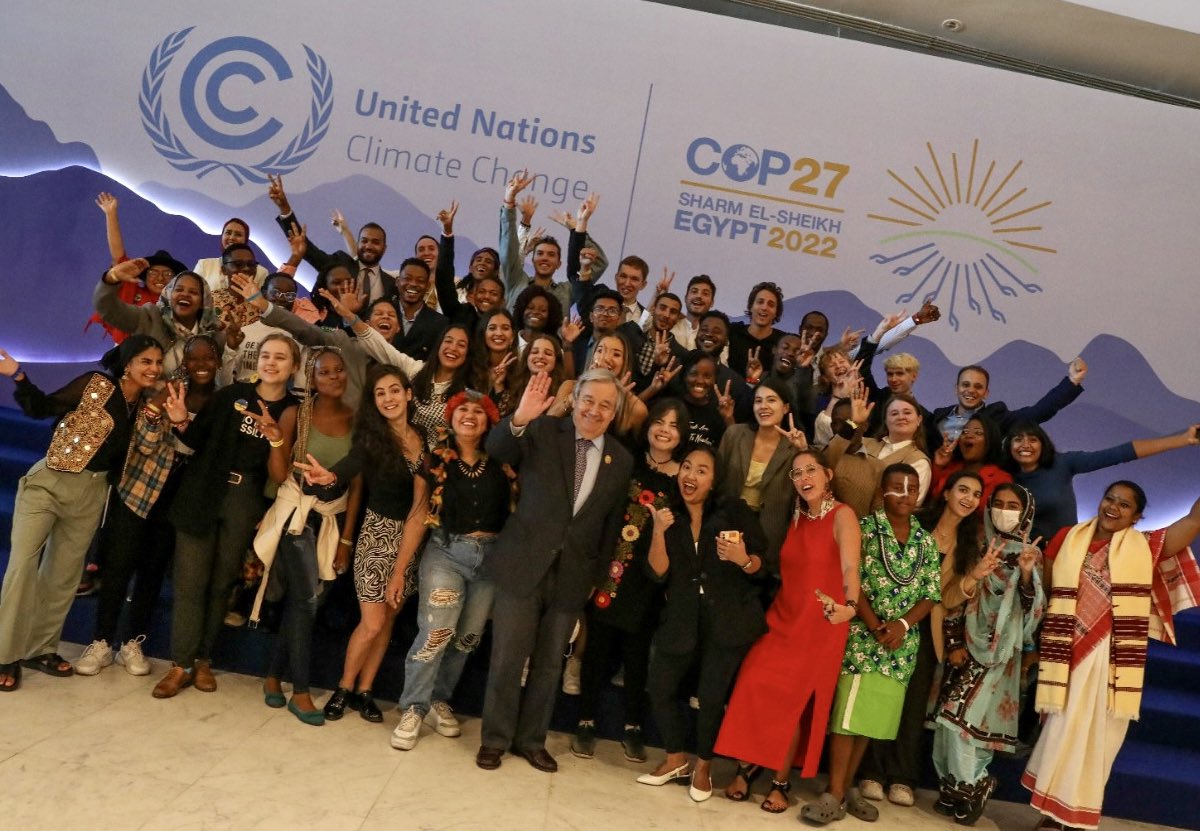
Young people, like the ones I met at #COP27 today, have been relentless in demanding #ClimateAction.
The world owes them an enormous debt.
I am grateful for their persistence & courage - and I am proud to stand with them.
#Rattlers I’ll be movingly this account to a new platform. Find me on Mastodon if you’re moving too- I'm #10606 on the Project Mushroom waitlist 👉 https://t.co/faHhGOhpn5
Live update from the Red River in Marietta, OK with warm advection showers already showing updraft bases. These prefrontal convergence bands will be supercell factories this afternoon in central and eastern Texas into southeastern OK. @accuweather
Timing for Storms: Showers and isolated storms prior to the front east of I-35, with a line of severe thunderstorms developing in the vicinity of the I-35 corridor btwn 5-8pm, then slide eastward into the Coastal Plains 8pm-12am. Damaging wind, tornadoes, and large hail all psbl.
There is an Enhanced risk of severe weather Friday (11/4) for parts of northeastern TX into adjacent OK/AR/LA. Several tornadoes and scattered damaging winds are the main hazards. Storms will be ongoing early in the day with intensification expected during the afternoon/evening.