@planet@CopernicusEMC did you know that all sentinel data is under a free licence and everyone can access and use it? wouldnt it be nice if all earthobservers do it like that?
Big news: we (@bellingcat) can now task satellite imagery! We're crowdsourcing suggestions to use some of these taskings (we pay for 5/month) and use a Twitter poll to decide to winner! See below for more information and instructions on submitting ideas: https://t.co/HKq3jkoMbt
We’ve activated our #OpenData Program for the devastating #floods in western Europe. To learn more and access the latest #satellite imagery read our blog. https://t.co/kVUeXE3qSw
are there any products of @planet in hires open available covering the region in west germany/belgium / netherlands affected by the recent flood desaster and how to access them?
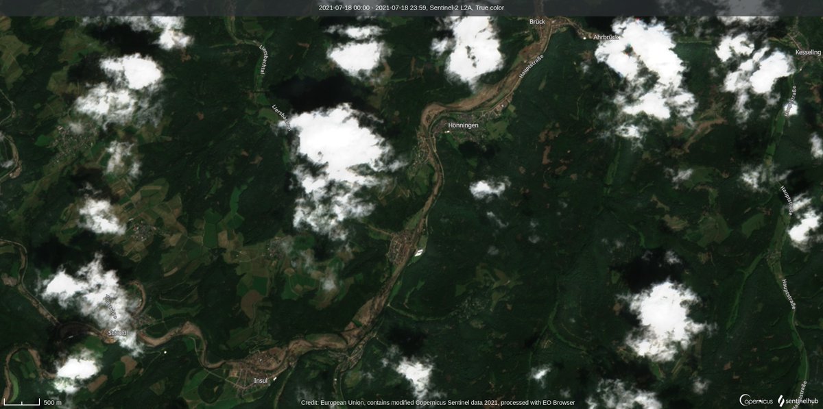
like to provide people with fresh images of the houses of their loved ones. #osint#sentinel2
Record rainfall has caused widespread flooding in Western Europe.
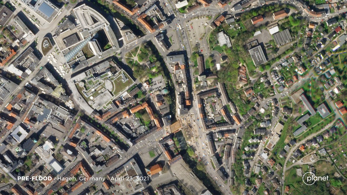
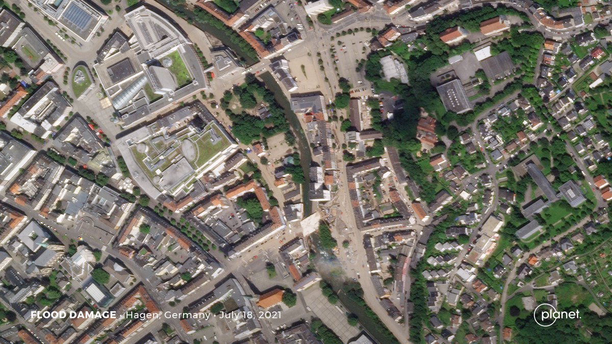
Planet's SkySats captured before and after imagery of Hagen, Germany on April 23, 2021 and today, July 18, 2021.
Das DLR erfasst zusätzlich Luftbilder und wertet sie für die Einsatzkräfte aus. 📉 Die Daten gehen z.B. an @roteskreuz_de, @BBK_Bund und @BKG_Bund. Ein Teil der Karten steht der Bevölkerung frei zum Download zur Verfügung! 🗺 Details & verfügbare Karten: https://t.co/i9IqfJpkOP
are there any products of @planet in hires open available covering the region in west germany/belgium / netherlands affected by the recent flood desaster and how to access them?
like to provide people with fresh images of the houses of their loved ones. #osint#sentinel2
As these is heavy cloud cover over NRW in #Germany from the rains, we can use radar (SAR) satellite imagery to show the flooding in the #Ahrtal, here comparing July 13 / July 15 with @sentinel_hub (water is dark blue)
Very helpful tool here, here is a sample from a large burned area with forests in Hama,NE #Syria that caught fire earlier this month. Great work by @sentinel_hub building better #GIS visualisation tools.
Oh wow - @sentinel_hub has just dropped a new 3D function to its EOBrowser platform. Check out the snowcapped Mount Fuji from January this year. Try it out! 🤓https://t.co/3NGWDOK2a0
@ESA_EO@CopernicusEU@esa Eco Science first. But what i like to spend money on is a higer resolution S2 Mission. S2C and S2D with 5, 2 or 1 Meter. The #osint community needs this.