Heading to Portugal to speak at SatSummit Lisbon ‘24! So much yummy EO dev & tech is ongoing in the EU. I'll share some thoughts on creating a new market with EO product for natcat disaster response. #SatSummit2024#satellites#remotesensing#naturalcatastrophe
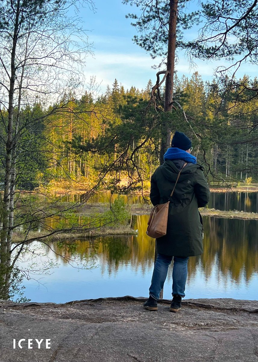
Watch the new ICEYE film, part of the #BlueHorizons series, featuring how ICEYE’s technology builds resilience against climate-related challenges for oceans. The series is presented by @OceanCouncil and produced by @BBCStoryWorks. Watch here: https://t.co/GRTNfkQDVC
Watch the new ICEYE film, part of the #BlueHorizons series, featuring how ICEYE’s technology builds resilience against climate-related challenges for oceans. The series is presented by @OceanCouncil and produced by @BBCStoryWorks. Watch here: https://t.co/GRTNfkQDVC
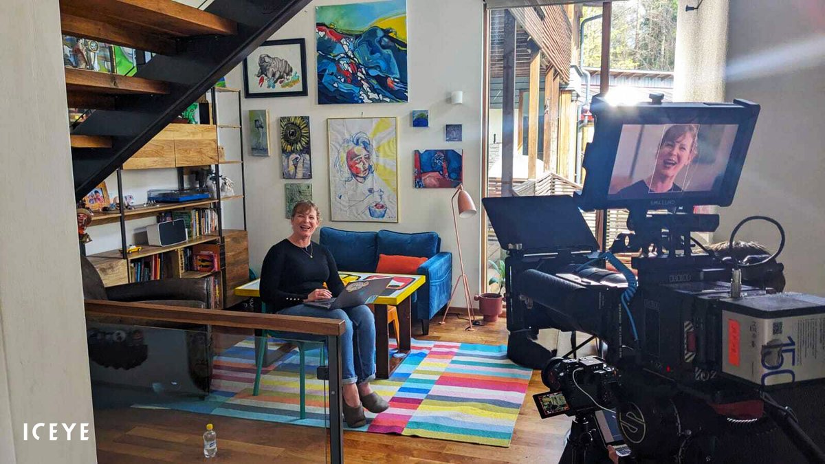
This summer, we took part in filming for the #BlueHorizons series about the world’s oceans. Stay tuned for the release of this film, produced for us by @BBCStoryWorks, to learn about the impact of ICEYE technology on oceans and coastal communities from @shaybstrong.
How can you elevate your flood response with ICEYE's integrated data layers?
Discover our AI-powered, multi-source approach that combines radar satellite imagery and advanced data sets into actionable flood intelligence. Learn more at https://t.co/Wxu7zhbyxw.
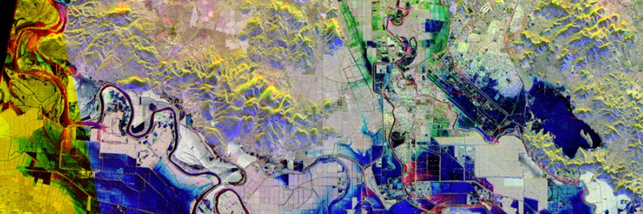
Did you know @ICEYEfi data can be used for literally ‘earth shattering’ scientific investigation? With Icelandic researchers, Valentyn Tolpekin used InSAR to better understand volcanic geophysics. #remotesensing#sar#datascience#volcano
ICEYE’s #InSAR analysis of the Reykjanes peninsula, Iceland, has been included in a recent manuscript published in @ScienceMagazine.
Access: https://t.co/8W6EJ194y8.
Photo: Bjorn Oddsson, Iceland Civil Protection.
Dr. @shaybstrong, VP of Analytics at ICEYE, spoke to @WIRED about the military history of SAR and shared how SAR technology is now being used by the public and private sectors for environmental monitoring and disaster response.
Read the article: https://t.co/RdqKPKdD8f.
Remote sensing is info from an objective platform. Earth is observed in the 3rd person. True value is realized when it's part of a solution that seamlessly improves an outcome for someone else. @iceye solutions quantify the impact of the changing world.
https://t.co/vrz3rxhOlV
Hired many people this past year, basically doubling the team. I absolutely agree finding talent is an important job, but I’m also wistfully wishing that for the next few roles, they could be musical or dance auditions. I need some whimsy & instant outcome. 😂😅
Looking for a brilliant leader to advance our @ICEYEfi Applications Engine team. Our team of passionate SW engineers are building amazing products to predict, assess, & respond to natural catastrophe events from space #SoftwareEngineering https://t.co/ttlygvN77w
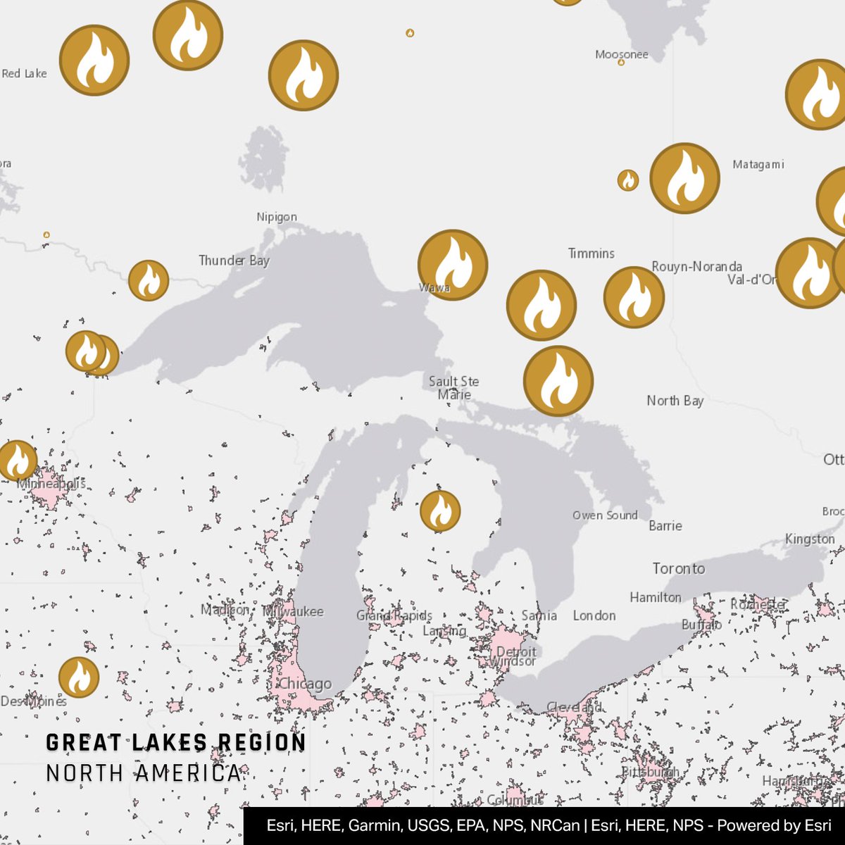
1/ #CanadaFires 🇨🇦
We are closely monitoring over a dozen uncontained wildfires in the Great Lakes Region. Right now all are burning at significant distances from structures.
We will provide more information, should the situation change in the next 24 hours.
1/ #FloodWatch in Ukraine
This analysis covers the full extent of the recent flood. Many towns and villages along the Dnipro River — Nova Kakhovka, Antonivka, Oleshky, Solontsi, and others — have been either partially or completely inundated.
Pretty scary looking at Twitter through bleary eyes first thing in the morning and seeing your face on there… For a moment I thought I had died… 😂
Nice job @ICEYEfi marketing team ….. ! 💪
Great Britain, coffee shops, the Great London Fire, Cthulhu, the Fab Four, Pirates, Rick Astley, hurricanes, Reagan, cats, this #North51 talk on geo for insurance, risk and catastrophe modeling by
@Todd_Effin_Barr @Verisk had it all. Good times.
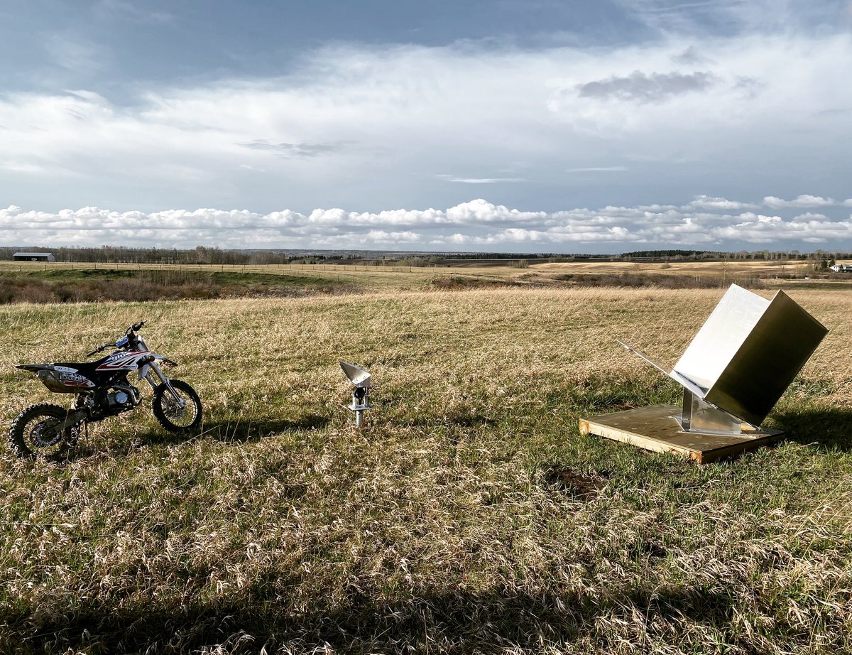
I have loved my visit to Canada. I was so excited to meet up with my teammate @MikeWollersheim & visit his amazing property where he is working with @gno_sys to deploy radar reflectors for @ICEYEfi calibration. I mean come on, who has a radar calibration site in their backyard?!!