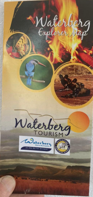
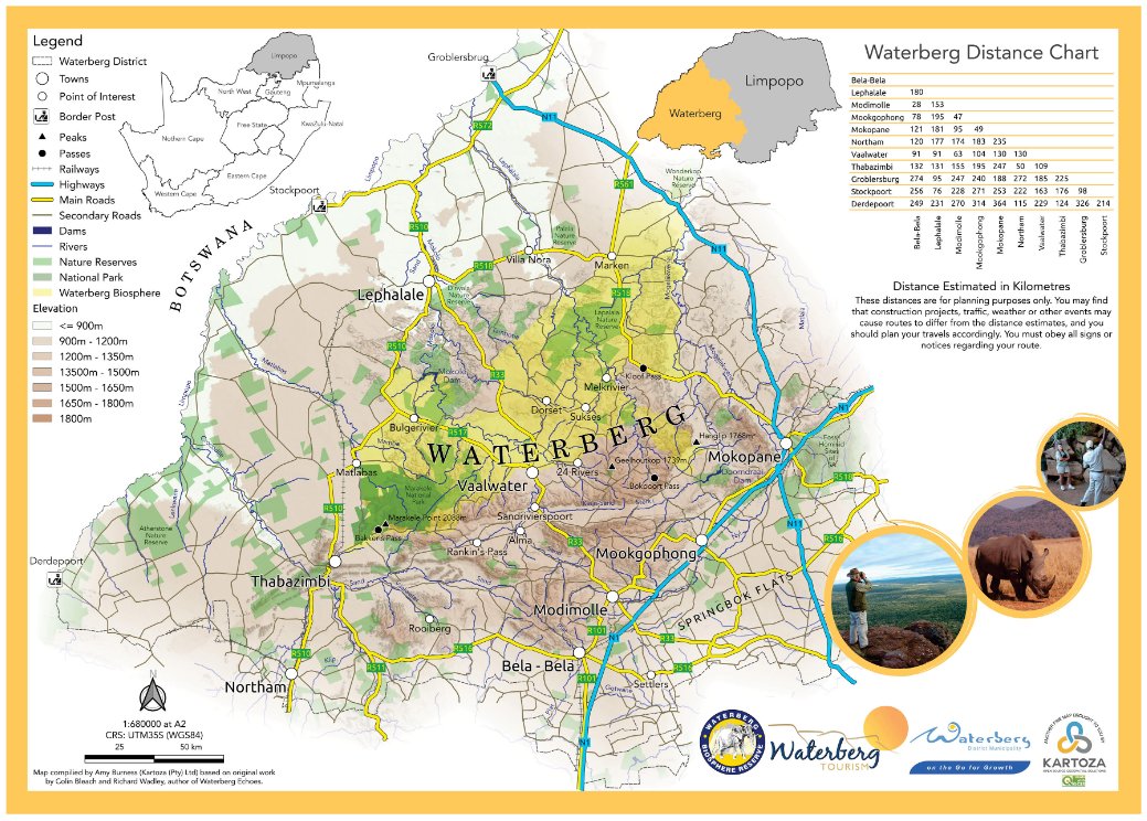
Kartoza is excited that Amy's Waterberg Tourism Map, made using QGIS, is in print! Get your copy from the Waterberg Tourism information centres (https://t.co/TZIOeJiZrw). Go and explore the natural sights with all the information included on the map.
#QGIS#waterbergtourismsa
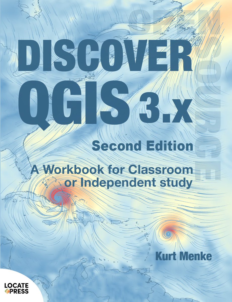
The 2nd Ed of Discover QGIS 3.x has a lot of content: 31 Chapters covering 428 pages. It contains 7 new chapters. During November I will run the #30DaysofDQ3x2nd to highlight things you can learn/teach with this workbook! Stay tuned! #gischat#QGIS https://t.co/K5vDz0j9OZ
and if the payment makes it across the pond - @NorthRiverGeo becomes a Small Sustaining Member of the QGIS organization. That was a goal for last year I didn't meet - but I can do it this year. Better late than never. #qgis
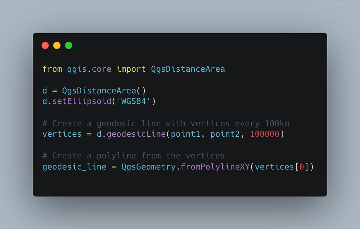
Starting QGIS 3.6, the #PyQGIS API provides a geodesicLine() method that can generate great circle arcs directly. If you are using #Python from #QGIS, then a few lines of code can do the same task. Full code at https://t.co/CQwRfPzk8f
Taking some time off work to recover from a crazy year to get fit so I don't have a M.E.crash and get some skillz @shermange whilst listening to @Wevalmusic#gischat
#GIS users: the livestreamed launch of the book 'QGIS for #Hydrological Applications' (2nd edition) is coming up in just a few hours! Join authors @hansakwast & @geomenke starting at 18:00 UTC (20:00 CEST).
Details here: https://t.co/InWf0duK3F
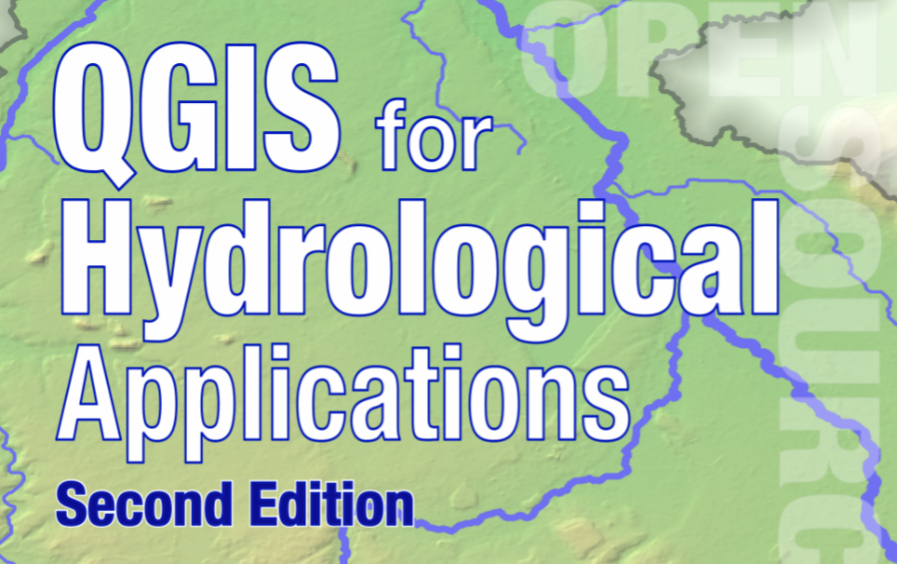
I am excited to announce that the 2nd edition of #QGIS for Hydrological Applications by @hansakwast & me is out! The chapters have improved workflows, including PC Raster & use the latest features of #QGIS. Thanks
@locatepress@1tylermitchell and @shermange for your support!
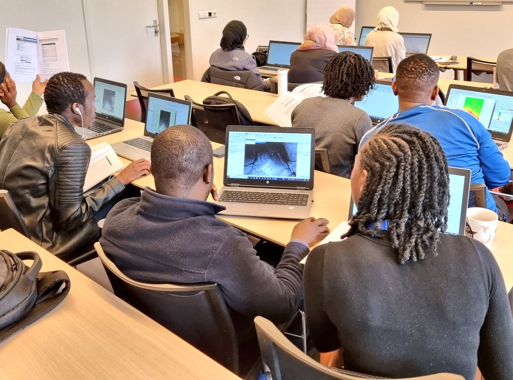
This week I'm teaching catchment delineation with #QGIS and the #PCRaster Tools plugin to @ihedelft students. We're using a preprint of some chapters of the 2nd edition of QGIS for Hydrological Applications that will come out soon! @locatepress@geomenke#qgishydro
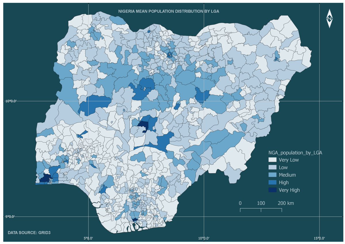
Hello #gischat, So last week I posted about needing the motivation to switch from Arc GIS to QGIS and I got tons of positive feedback. So, here's my first official map designed using QGIS, showing the mean population distribution by LGA in Nigeria. Data Source: GRID3.
Locate Press is excited to join #QGIS. Today we took the step of providing some direct financial support to QGIS to become a Sustaining Member (small level). You can join too! Read about our other ties to QGIS in this post. https://t.co/gMEfOCPqk4